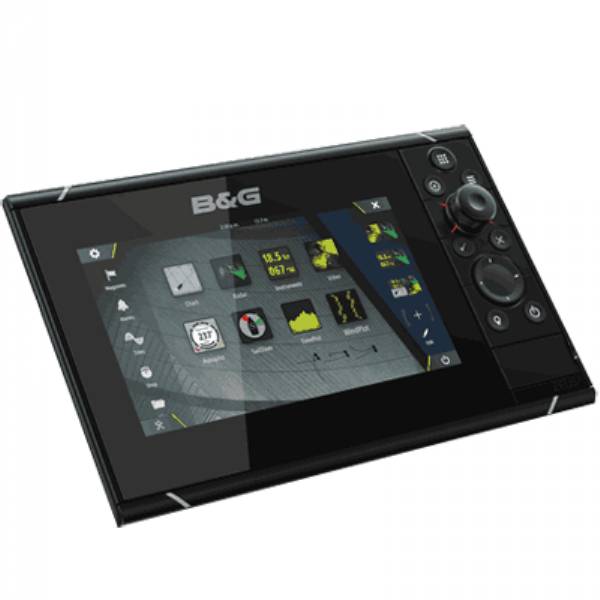
B&G Zeus-2 12 inch MFD w/ Insight Basemap

This item is brand new
$2,526.95
This item ships within 1 day
|sw


3G Broadband Radar Kit

4G Broadband Radar Kit for Zeus

BSM-1 Broadband Sounder Module

BSM-2 Broadband CHIRP Sounder Module

NAIS-400 System, Class B-AIS w GPS Ant

WM-3 Sirius Sat Weather, Radio Module

Suggested Maps and Software:
 | Navionics Marine Charts |
 | C-Map Charts |
 | Cmor maps |
Contents of the package
Zues2 12
Suncover
Installation hardware
Owner's manual
Features
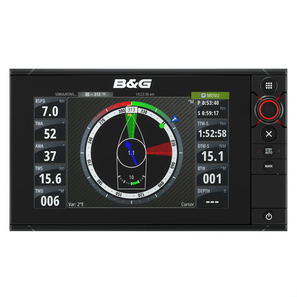
Zues2 12" Touchscreen Multi-Function DisplayThe B&G Zeus² is an easy to use, ultra-responsive chartplotter designed specifically for sailors. It is packed with exclusive sailing features including Laylines (view tacking angles on the chart even without an active waypoint), SailSteer (all your sailing data on one display), Sailing Time (more accurate ETAs for sailing boats that cant follow a direct route), GoFree, GRIB weather, WindPlot, enhanced tides (internal tidal calculations with Navionics Dynamic Tides and Currents data) and much more.
It has a bright, 12-inch LED backlit display with multi-touch pinch-to-zoom interaction, supplying dedicated sailing data at the tip of your finger backed up by B&Gs signature rotary controller. Zeus² features an ultra-low profile design and is built to weather the elements, blending style with performance in the toughest environments.
Pioneering design
Intuitive, responsive multi-touch display
Choice of leading cartography options
GoFree Wireless Technology
Internal high-sensitivity GPS antenna
Broadband Radar compatible
Low power consumption
Video input/output
Integrated Pilot control
NMEA 2000, 0183 and Ethernet compatibility
Specifications
Display 12.1" diag. color LCD displayResolution 1280 x 800 pixels
Antenna Internal antenna included
Mapping HD Insight Basemap preloaded, ability to add Navionics, C-Map Max, Platinum+ via SD
card.
Waypoints/Routes 10,000 points total combined waypoints / route points
Sounder Network sounder sold separately
Radar All B&G Broadband Radar units. Also compatible with Simrad Pulse radars
Interface NMEA 0183 out; NMEA 2000; Ethernet; Video in/out
Other Functions Special software designed for racing and performance sailing. AIS (receiver required);
Sirius weather (receiver and subscription required); engine monitoring (sensors required)
Dimensions 13.6"W x 8.5"H x 4.1"D
Warranty Two Year
Item number: 000-11194-001
UPC: 9420024125359
Package weight: 13.2 lb
Other Products in the Series: