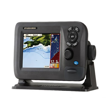
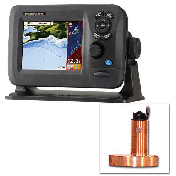
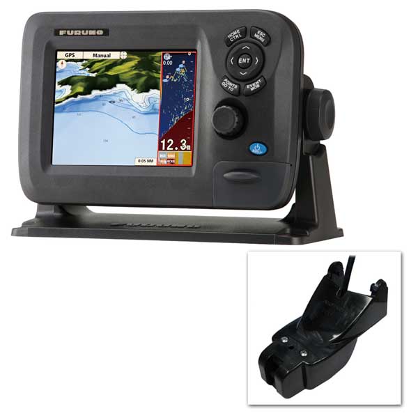
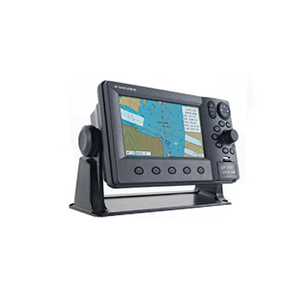
FURUNO GP1670 Color LCD GPS/WAAS Chartplotter - 5.7 inch

Item: GP1670
This item is brand new
$525.95
This item ships within 4 days


This item is brand new
$525.95
This item ships within 4 days
Mounts


RAM Mounts

Marine Networking


Transducers Furuno


525T-BSD_fur
B45-DT-10F Thru-Hull 50/200 kHz Bronz Narrow Stem 10pin Transducer
B45-DT-10F Thru-Hull 50/200 kHz Bronz Narrow Stem 10pin Transducer
No Longer Available
Compatible maps
Suggested Maps and Software:
C-Map 4D Charts |
Contents of the package
Features
GP-1670 Color LCD GPS/WAAS Chartplotter - 5.7"Compact, Powerful GPS Chartplotter for Recreational & Fishery Boats
The 5.7" Chartplotter provides the user with powerful, fast performance and intelligent features while remaining compact in size.
Bright 800 cd/m2 LCD gives excellent readability even in direct sunlight
The LCD and the AR glass are bonded together to ensure no fogging issues
Clear visibility even when wearing polarized sunglasses
Internal GPS antenna for simple and easy installation
Standard C-MAP 4D chart available on SD card
RotoKey revolving menu and familiar point-and-click operation
Internal memory: Waypoint/Track 30,000 points, Route 1,000 routes
Easy-Routing function: Automatically creates a route
Built-in Wireless LAN, downloading up-to-minute weather service "C-Weather" by Jeppesen Marine, via Internet
Wirelessly Connect To Your iOS Devices
Connect to your iOS devices using the app "Jeppesen Marine Plan2Nav" over a wireless ad-hoc connection.
C-Weather Information
C-Weather data can be downloaded from Jeppesen.com. Wind, Wave, Weather, Humidity, Temperature and Visibility (fog) information can be displayed on screen.
Polarized Friendly - Clearly Remarkable
LCD that does not "black out" when wearing polarized sunglasses, providing clear visibility from virtually any angle.
RotoKey
Rotate the knob for a finely stepped zoom control or push the knob to get full access to the control giving it a two-fold function.
Bonded LCD - Clear Readability
The bonded LCDs offer a fog-free structural design. This ensures that the display will never be affected by water condensation, caused by an air gap between the LCD and the front cover plate.
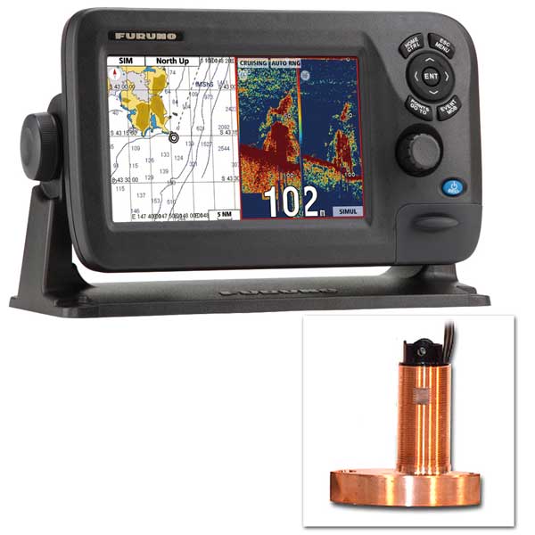
ACCU-FISH
ACCU-FISH identifies individula fish with size or depth indication and fish symbol. Individual fish size is calculated from echo strength.
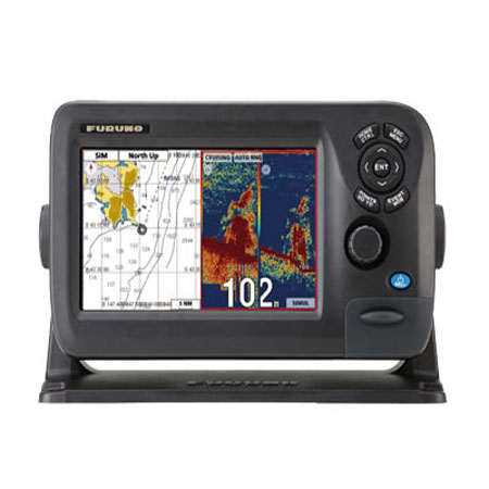
Dual Range Chart Display
Displays dual charts, both long and short range at the same time.
Easy-Routing Function
Analyzes the high-quality C-MAP 4D data, works out the shortest route and then checks and displays hazards in each leg of the journey.
Specifications
Cartography Brand C-MapCartography Type C-Map 4D
Resolution (VxH) 640 x 480
Screen Size 5.7"
Screen Type Color
Touchscreen No
Voltage - Input Range (Volts) 12-24 VDC
Waypoints/Routes 30,000/1,000
Item number: GP1670
UPC: -
Package weight: 8.1 lb
Other Products in the Series: