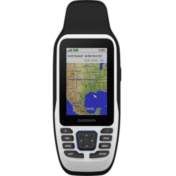
GARMIN GPSMAP 79sc Handheld GPS w/ BlueChart g3


This item is brand new
$322.95
Request price match
This item ships within 1 day
wi|cw|sw|wi|ln


Speed/Cadence bike sensor (GSC 10)
Heart rate monitor

Premium Heart rate monitor Soft Strap


HRM-Pro Heart Rate Monitor with Bluetooth and Running Dynamics

HRM-Pro Plus Heart Rate Monitor


Cup Holder Universal Mount RAM-A-CAN II with 6 in Flex Arm


Lanyard 17 inch


Carabiner clip

Lanyard Carabiner

Suggested Maps and Software:
 | Inland Lakes |
 | BlueChart g2, g3 on micro SD card with adapter |
 | Garmin Street Maps and City Navigation |
 | Garmin Topographic Maps |
 | LakeVu HD |
Contents of the package
Lanyard
USB cable
Documentation
Features
CAST OFF CONFIDENTLYStay on course, and track more adventures with these rugged, floating handhelds.
Its water-resistant, it floats, and its fogproof, so it belongs on the water just like you.
This thing can remember up to 10,000 waypoints and more, so you dont have to.
Its nice to have reliable positioning when youre out on the water.
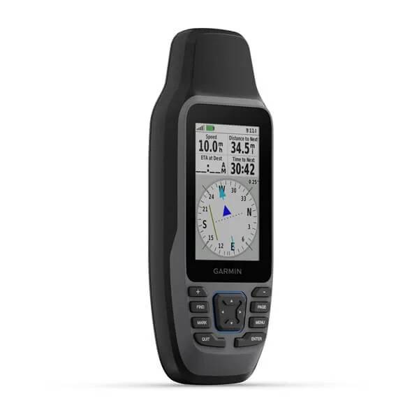
The built-in compass will point you in the right direction.
Get the best of Garmin and Navionics® data with optional BlueChart® g3 coastal charts.
Stay out longer with up to 19 hours of battery life in GPS mode.
RUGGED HANDHELD
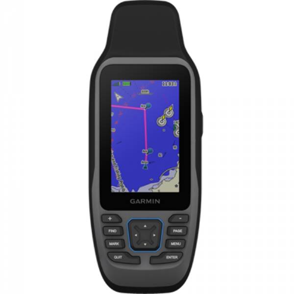
This handheld is water-resistant (IPX7) with a high-resolution color display you can read in the sun. The glass is even scratch-resistant and fogproof.
DESIGNED TO FLOAT
If rough waters come and the handheld goes overboard, dont worry. This device floats.
BATTERY LIFE
User-replaceable AA batteries (not included) provide up to 19 hours of battery life in GPS tracking mode.
ACCURATE TRACKING
With support for multiple satellite constellations such as GPS, GLONASS, Galileo, QZSS and SBAS youll get accurate, reliable tracking and positioning around the world.
INCREASED MEMORY
More memory than previous models means you can save and track 10,000 waypoints, 250 routes and 300 fitness activity files.
BUILT-IN COMPASS
The 3-axis tilt-compensated electronic compass shows your heading even while the boat is standing still.
BLUECHART COVERAGE
Preloaded BlueChart g3 coastal charts (GPSMAP 79sc only) give you leading-edge coverage, clarity and detail with integrated Garmin and Navionics data. Coverage includes the U.S. and the Great Lakes.
Specifications
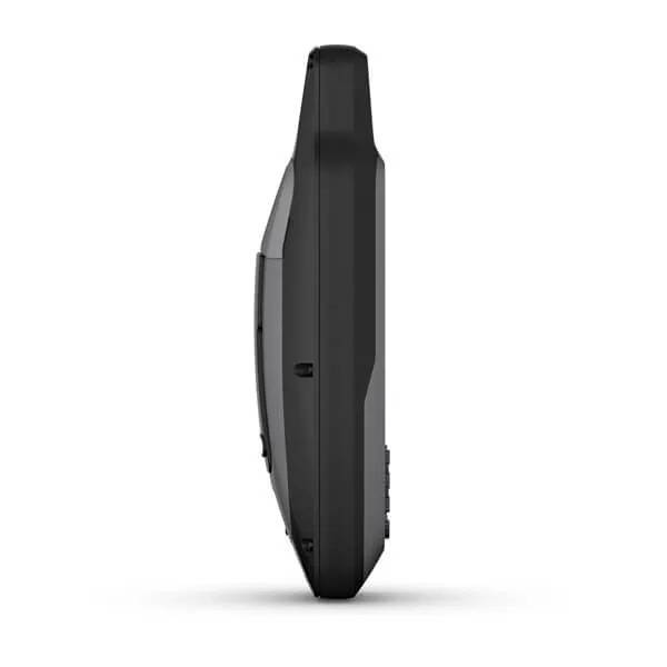
GeneralPHYSICAL DIMENSIONS: 2.67'' x 6.85'' x 1.67'' (6.77 x 17.40 x 4.23 cm)
DISPLAY SIZE: 1.5"W x 2.5"H (3.8 x 6.3 cm); 3" diag (7.6 cm)
DISPLAY RESOLUTION: 240 x 400 pixels
DISPLAY TYPE: transflective, 65K color TFT
WEIGHT: 9.95 oz (282g) with batteries
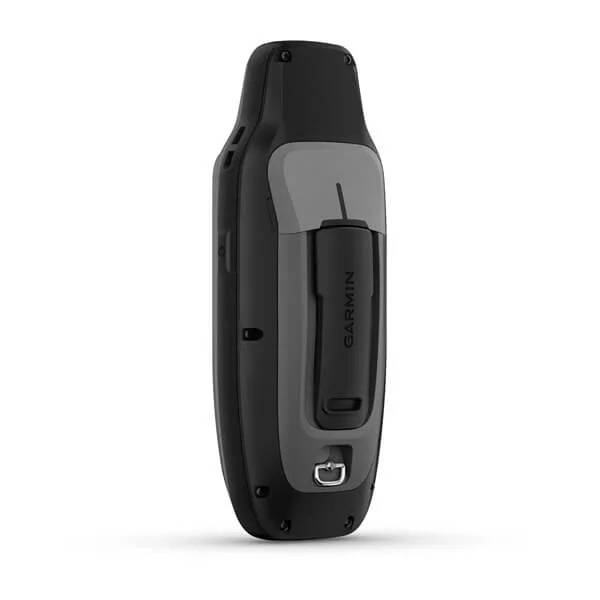
BATTERY TYPE: 2 AA batteries (not included); NiMH or Lithium recommended
BATTERY LIFE: up to 19 hours
WATER RATING: IPX7
MIL-STD-810: yes (thermal, shock, water); bare unit only
HIGH-SENSITIVITY RECEIVER: Yes
INTERFACE: high speed microUSB and NMEA 0183 compatible
MEMORY/HISTORY: 8 GB (user space varies based on included mapping on sc version)
Maps & Memory
PRELOADED MAPS: Available on sc version only
ABILITY TO ADD MAPS: Yes
BASEMAP: Yes
AUTOMATIC ROUTING (TURN BY TURN ROUTING ON ROADS) FOR OUTDOOR ACTIVITIES: Yes (with optional mapping for detailed roads)
MAP SEGMENTS: 15000
INCLUDES DETAILED HYDROGRAPHIC FEATURES (COASTLINES, LAKE/RIVER SHORELINES, WETLANDS AND PERENNIAL AND SEASONAL STREAMS): Yes (downloadable from Garmin Express)
INCLUDES SEARCHABLE POINTS OF INTERESTS (PARKS, CAMPGROUNDS, SCENIC LOOKOUTS AND PICNIC SITES): Yes (downloadable from Garmin Express)
DISPLAYS NATIONAL, STATE AND LOCAL PARKS, FORESTS, AND WILDERNESS AREAS: Yes (downloadable from Garmin Express)
EXTERNAL MEMORY STORAGE: yes (32 GB max microSD card, not included)
WAYPOINTS/FAVORITES/LOCATIONS: 10000
TRACKS: 250
TRACK LOG: 20,000 points, 250 saved gpx tracks, 300 saved fit activities
ROUTES: 250, 250 points per route; 50 points auto routing
RINEX LOGGING: Yes
Sensors
GPS: Yes
GLONASS: Yes
GALILEO: Yes
QZSS: Yes
COMPASS: Yes (tilt-compensated 3-axis)
GPS COMPASS (WHILE MOVING): Yes
Outdoor Recreation
POINT-TO-POINT NAVIGATION: Yes
AREA CALCULATION: Yes
HUNT/FISH CALENDAR: Yes
GEOCACHING-FRIENDLY: Yes (Paperless)
CUSTOM MAPS COMPATIBLE: Yes
PICTURE VIEWER: Yes
Item number: 010-02635-02
UPC: 753759284534
Package weight: 1.00 lb
Other Products in the Series:
 | GARMIN GPSMAP 79s Handheld GPS w/ Basemap | Add to comparison |
 | GARMIN GPSMAP 79s Refurb. NOH |