GARMIN US, Brownsville - Key Largo, (VUS515L) BlueChart g2 Vision HD 2017 map


This item is brand new
$344.95
This item ships within 1 day
St|cw|sw|wi


Contents of the package
Features
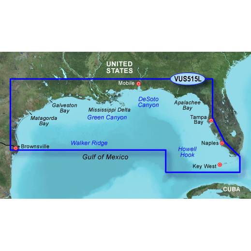
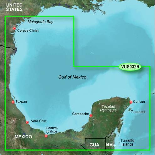
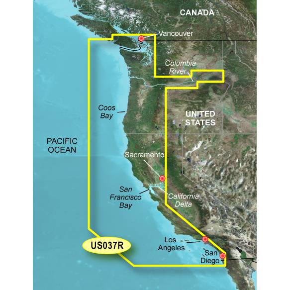
Coverage
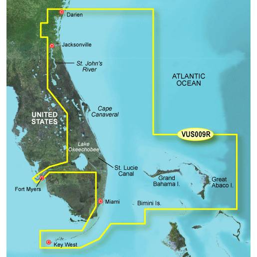
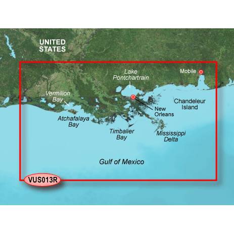
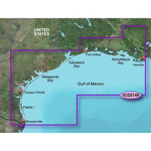
Detailed coverage of the Gulf of Mexico from Brownsville, TX to Plantation Key, FL including Corpus Christi, TX, Matagorda Bay, Galveston Bay, Port Arthur, TX, Atchafalaya Bay, the Mississippi Delta, Chandeleur Islands, Tampa Bay and the Florida Keys west of Key Largo. Also includes Lake Ponchartrain and Lake Maurepas to Vermilion Bay and Lake Calcasieu. Bathymetric coverage of offshore features from Vernon Basin to Alaminos Canyon including DeSoto Canyon, Mississippi Canyon and Green Canyon.
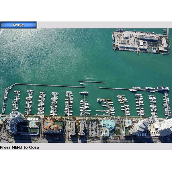
About BlueChart g2 Vision Maps
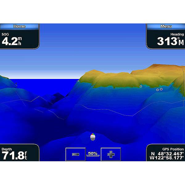
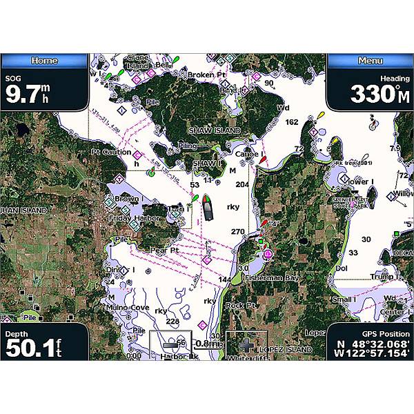
Chart depictions are enhanced with high-resolution satellite imagery for enhanced situational awareness so you can navigate with a clear moving-map representation of your boats position. It is the most realistic mapping display Garmin has ever offered in a chartplotter. With BlueChart g2 Vision data, you can select true 3D Mariners Eye or Fish Eye navigation perspective for dynamic views both above and below the waterline. Theres also Auto Guidance technology to suggest the best routes to follow. And aerial photos of ports, harbors, marinas, waterways and coastal roads help you see "the big picture" when youre on the water.
- Realistic navigation features showing everything from shaded depth contours and coastlines to spot soundings, navaids, port plans, wrecks, obstructions, intertidal zones, restricted areas, IALA symbols and more
- Fishing charts to focus on bathymetric contours with less clutter on the display
- Choice of 3D Mariners Eye or Fish Eye navigation perspective to make chart reading and orientation easier
Specifications
Item number: 010-C0744-00
UPC: 753759069247
Package weight: 0.3 lb
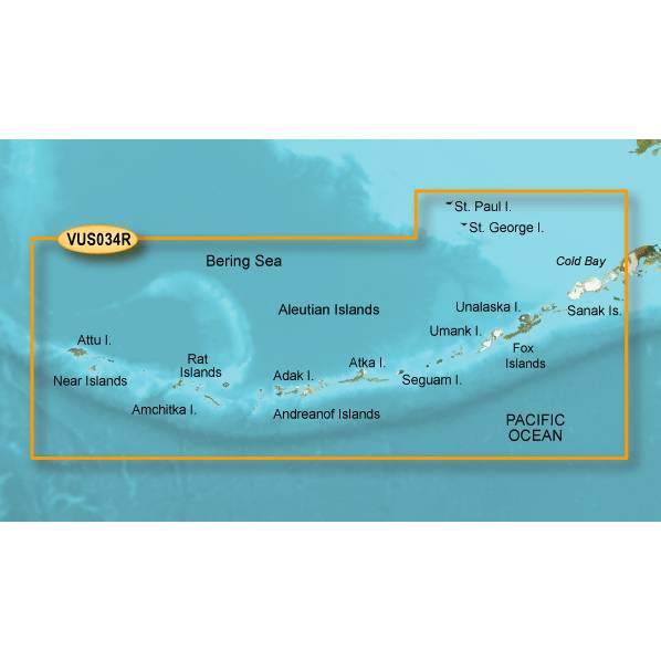
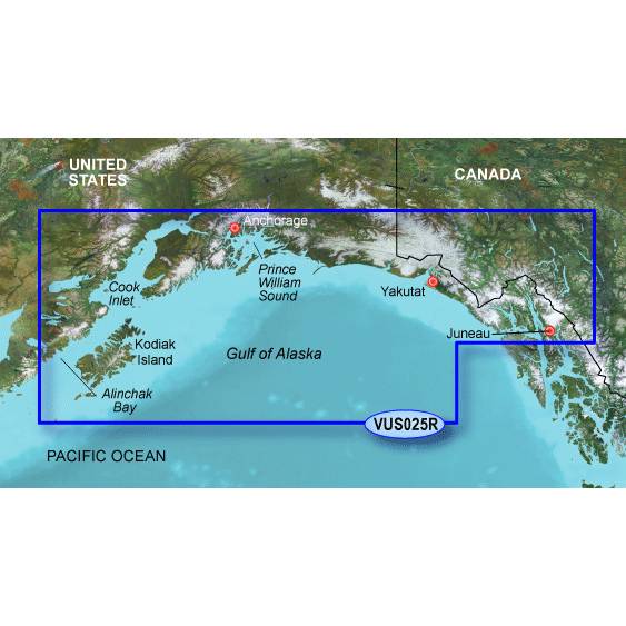
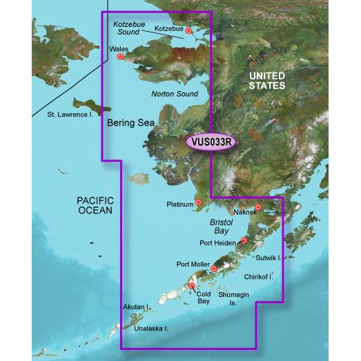
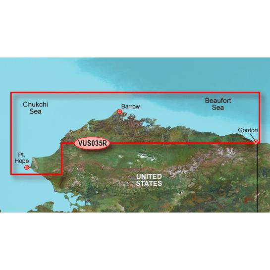
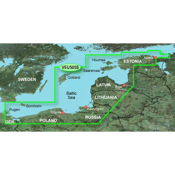
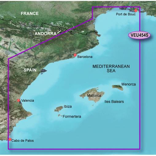
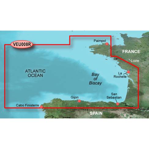
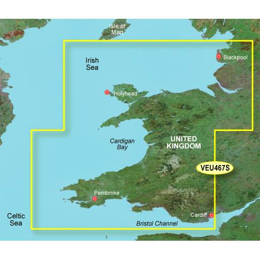
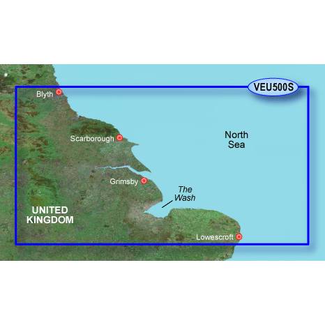
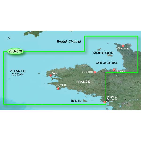
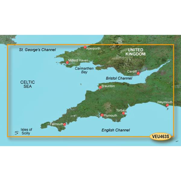
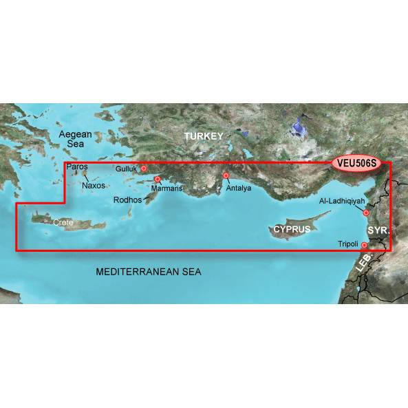
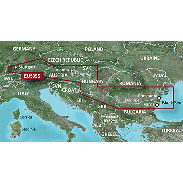
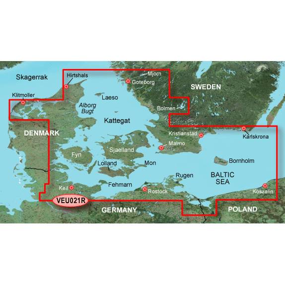
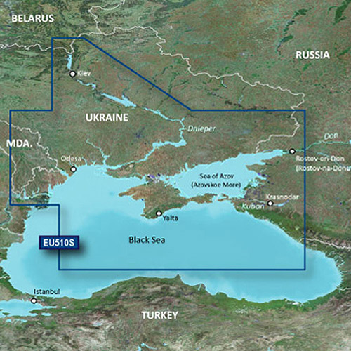
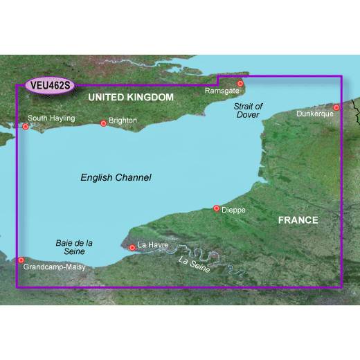
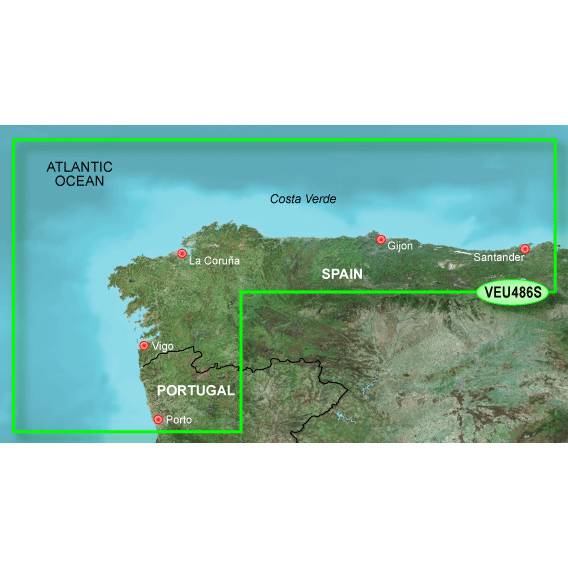
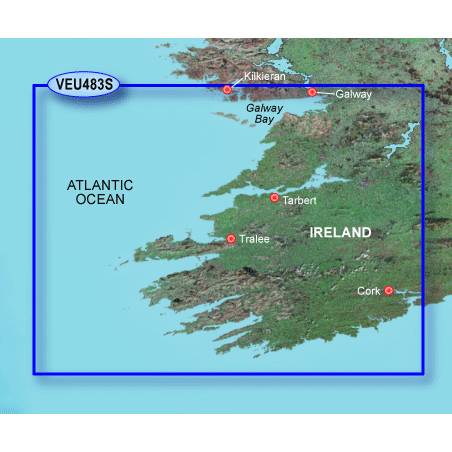
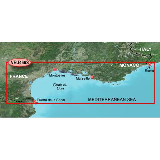
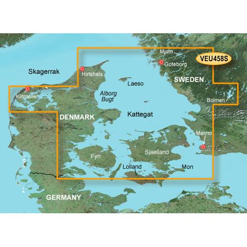
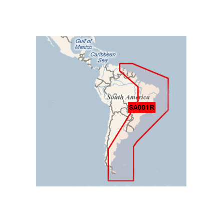
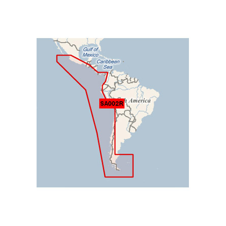
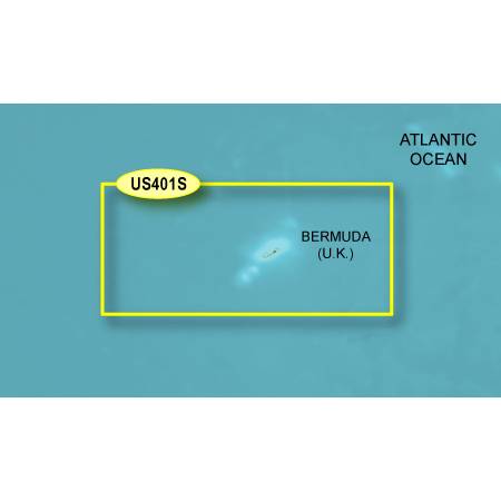
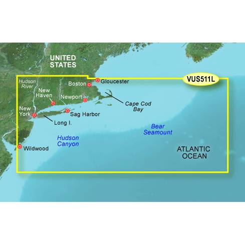
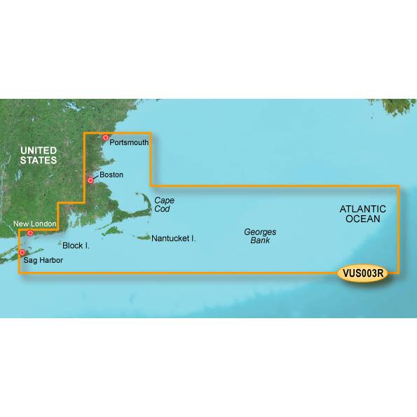
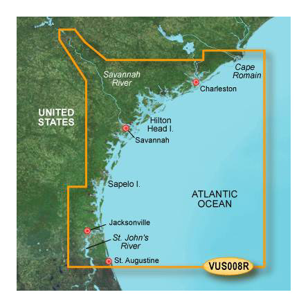
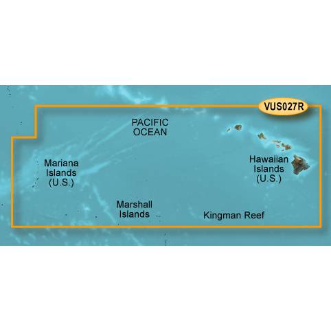
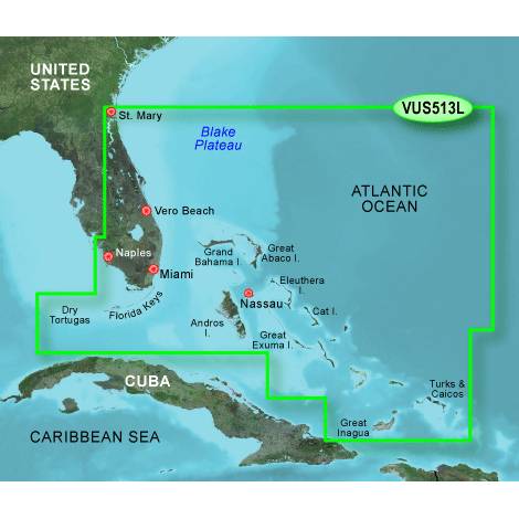
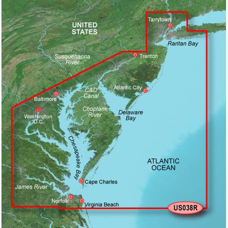
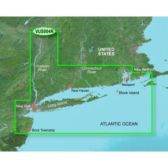
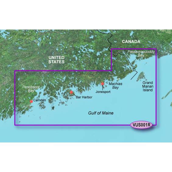
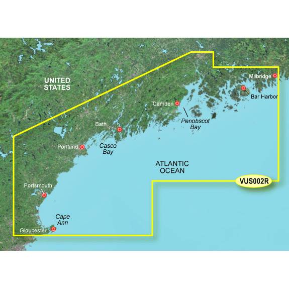
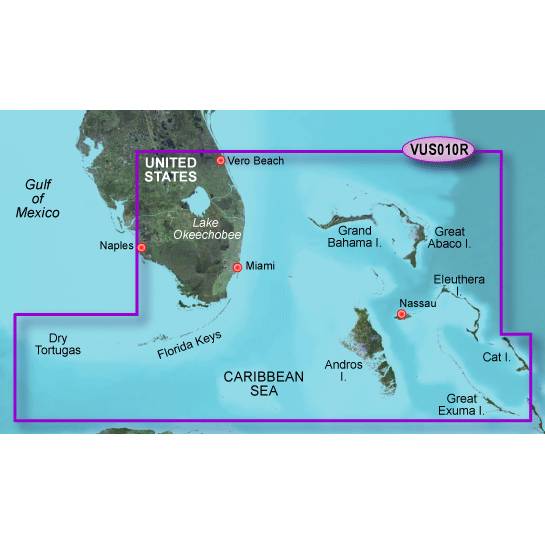
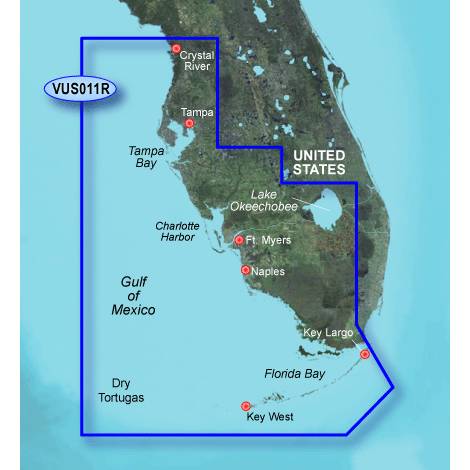
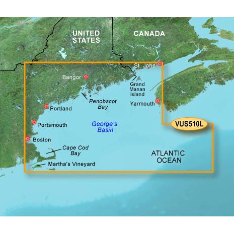
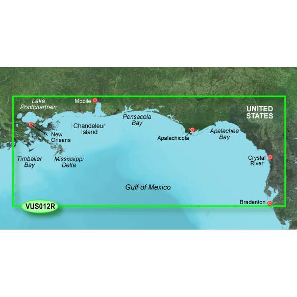
Other Products in the Series:


List of Compatible Units:
Note: Displayed are products sold in gps4us store.
There might be more GPS units compatible with chosen accessory.