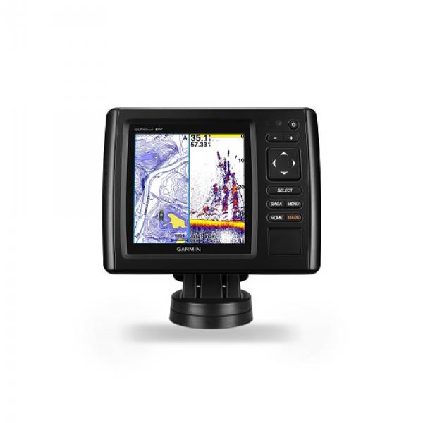
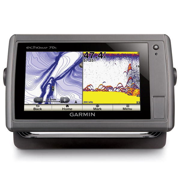
GARMIN echoMAP 70s with Canada LakeVu HD and transducer


This item is brand new
$529.95
This item ships within 1 day


GCV 10 SideVu DownVu CHIRP Scanning Sonar


MotorGuide Adapter Cable 8-pin


Trim Piece Snap Cover (echoMAP 70s)

Flush Mount Kit


Flat Mount Kit


SPOD sail pod uncut small MFD display

SP2S1 rail pod - uncut 11 x 6.125 inch


Panoptix PS31 Forward Transducer
Panoptix PS60 Thru-hull Down Transducer
Panoptix PS21 LiveVu Forward Transducer
Panoptix PS21-TM Forward Transom Mount Transducer


P72-8G 500W 77/200 kHz Transducer


B164 1kW 0 tilt 200/50kHz Bronze Transducer 8-pin
B45-DT-8G Thru-Hull 50/200 kHz Bronz Narrow Stem 8pin Transducer

SS164 0 deg tilt 1kW Transducer 8pin

SS164 12 deg tilt 1kW Transducer 8 pin

SS164 20 deg tilt 1kW Transducer 8 pin


P32-8G DST 77/200 Khz 45/15 beam Transom Mount 8pin Triducer


For Garmin TM258-8G DT Cone 3-21 1kW 200/50kHz Transom 8pin Transducer
Suggested Maps and Software:
 | Inland Lakes |
 | BlueChart g2, g3 Vision |
 | BlueChart g2, g3 on micro SD card with adapter |
 | Garmin Extras |
 | LakeVu HD Ultra |
 | LakeVu HD |
Contents of the package
- echoMAP 70s with Canada LakeVu HD
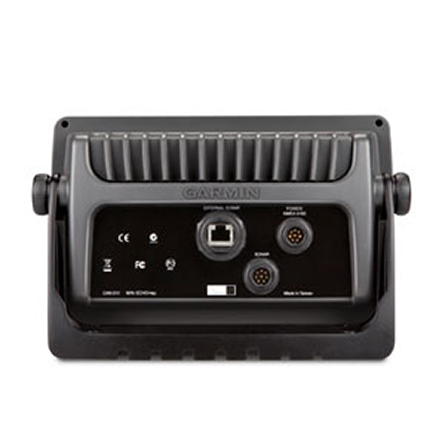
- transom/trolling motor mount dual-beam transducer
- Power/data cable or power/data/sonar cable
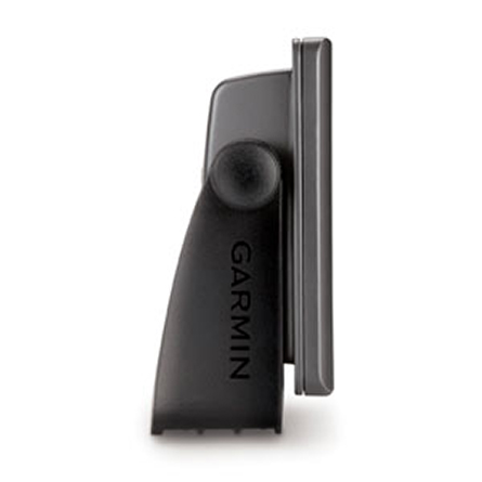
- Bail mount and knobs
- Flush mount kit
- Protective cover
- Bezel
- Documentation
Features
Not only does the echoMAP 70s give you a combination chartplotter/sounder, it also gives you a 7-inch touchscreen with pinch-to-zoom and HD-ID sonar. Your position and heading will be updated 10 times per second with the 10 Hz Garmin GPS, displaying fluid vessel movement and dramatically improving your ability to mark and track 5,000 waypoints. The echoMAP 70s includes sonar recording capability, which coordinates the timing of the sonar return with your boats position, saving digital information on the map. You also get wireless connectivity, Bacemap or US lakes or US coastal cartography.Plenty of room to pinch and zoom
With a wide 7-inch WVGA display (800X480) youll have no problem using the pinch-to-zoom, auto-dimming or any of the other multi-touch functions on the echoMAP 70s.
Know where you are
Your echoMAP 70s gives you a 10Hz Garmin GPS, which youll love when youre navigating back to a fishing spot youve marked as a waypoint. Youll know where you are at all times, as your GPS updates your position 10 times each second. Thats 10 times more often than a 1 Hz GPS. So youll see fluid movement on your screen, giving you the upper hand, especially at low speeds.
Go below the boat
With Garmins exclusive HD-ID target tracking technology, you get better quality separation and images of the fish and material below your boat.
Specifications
Physical & Performance:Unit dimensions, WxHxD: 9.0" x 5.6" x 2.4" (22.9 x 14.2 x 6.1 cm)
Display size, WxH: 6.0" x 3.6", 7.0" diagonal (15.2 x 9.1 cm, 17.8 cm diagonal)
Display resolution, WxH: 800 x 480 pixels
Display type: multi-touch touchscreen WVGA display
Weight: 2.0 lb (0.9 kg)
Waterproof: yes (IPX7)
Maps and Memory:
Basemap: yes
Preloaded maps:
Ability to add maps: yes
Accepts data cards: dual microSD card slots
Waypoints/favorites/locations: 5,000
Routes: 100
Track log: 50,000 points; 50 saved tracks
Features and Benefits:
CANet® compatible: no
Supports AIS (tracks target ships' position): yes
Supports DSC (displays position data from DSC capable VHF radio): yes
Audible alarms: yes
Tide tables: yes
Sun and moon information: yes
3-D map view: no
Dual-frequency sonar capable: yes
Dual-beam sonar capable : yes
Split-screen zoom: yes
Split-screen sonar/gps: yes
Ultrascroll® (displays fish targets at higher boat speeds): yes
See-thru® technology (exposes fish hidden in cover): yes
Fish Symbol ID (helps identify fish targets): yes
AutoGain Technology (minimizes clutter, maximizes targets): yes
Whiteline (indicates hard or soft bottom): no
Adjustable depth line (measures depth of underwater objects): yes
A-scope (real time display of fish passing through transducer beam): yes
Bottom lock (shows return from the bottom up): yes
Water temperature log and graph: yes
Water temperature sensor included: yes
Other:
Frequency: 200 / 77kHz
Transmit power: 500W (RMS) / 4,000W (peak to peak)
Voltage range: 10V-32V input
Maximum depth: 1,900 ft fresh water / 700 ft salt water (depth capacity is dependent on water bottom type and other water conditions)
Additional:
Wi-Fi connectivity: yes
HD-ID tracking technology: yes
Sonar recording: yes
Item number: K10-00192-00
UPC: 753759118617
Package weight: 7 lb
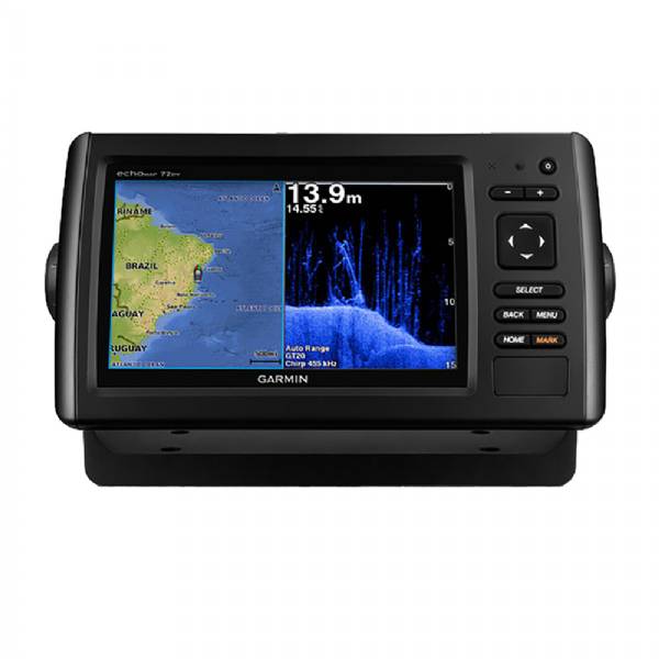
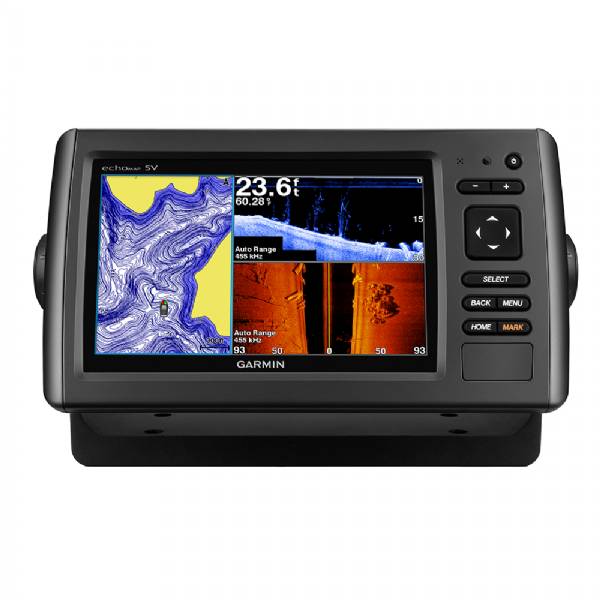
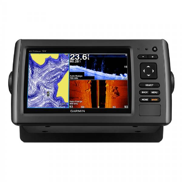
Other Products in the Series: