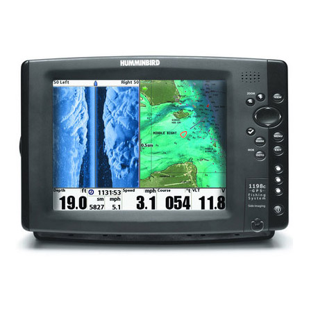
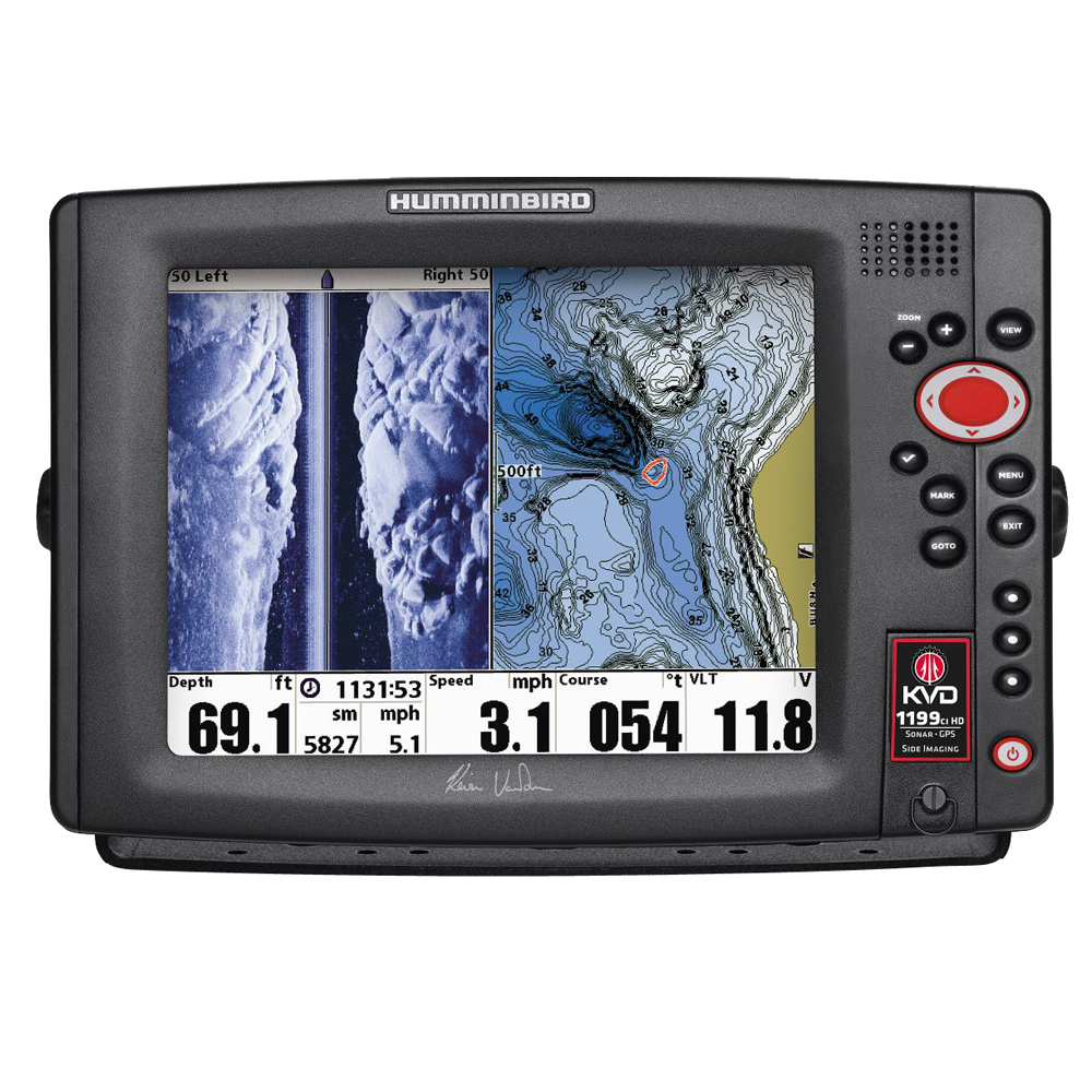
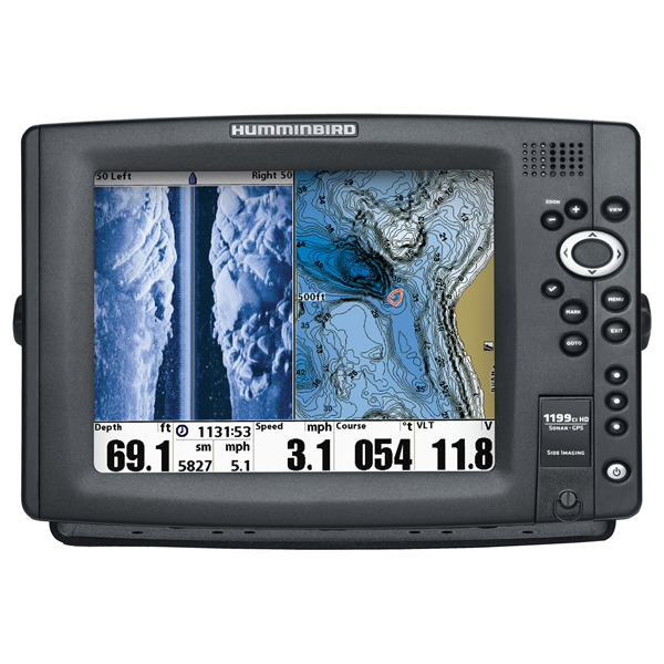
HUMMINBIRD 1199ci HD SI Combo 10 inch KVD Side Imaging
Item: 409230-1KVD
This item is brand new
$2,299.95
This item ships within 2 days


This item is brand new
$2,299.95
This item ships within 2 days
Antennas


Cables

720003-1
EC W10 Transducer Ext. Cable, 7 pin, 10 ft
EC W10 Transducer Ext. Cable, 7 pin, 10 ft
No Longer Available


720003-2
EC-W30 30 ft Transducer Extension cable
EC-W30 30 ft Transducer Extension cable
No Longer Available
Mounts


RAM Mounts

Marine Networking


Sensors and Boards

Transducers Humminbird

408310-1
AS 360SSI Transducer
AS 360SSI Transducer
No Longer Available


710210-1
XPTH 9 HDSI 180 T Down Side Imaging depth transducer w temp
XPTH 9 HDSI 180 T Down Side Imaging depth transducer w temp
No Longer Available

710214-1
XNT 9 20 Depth Transducer, MFG 710214-1, 83 200KHz, 6020 beam angle
XNT 9 20 Depth Transducer, MFG 710214-1, 83 200KHz, 6020 beam angle
No Longer Available


710164-1
XP-9-20 Puck 200/83 kHz Beam 20/60 ThruHull Transducer
XP-9-20 Puck 200/83 kHz Beam 20/60 ThruHull Transducer
No Longer Available

710165-1
XAP-9-20 Angled Puck Transducer
XAP-9-20 Angled Puck Transducer
No Longer Available


B45-HB
B45-HB Thru-Hull 50/200 kHz Bronz Narrow 9 Transducer Humminbird
B45-HB Thru-Hull 50/200 kHz Bronz Narrow 9 Transducer Humminbird
No Longer Available

710199-1
XNT 9 QB 90 T Quadra Beam depth transducer w temp
XNT 9 QB 90 T Quadra Beam depth transducer w temp
No Longer Available


p66-DTHB
P66-DTHB Plastic Transom Mount Transducer with Temp, 600w 9 connector
P66-DTHB Plastic Transom Mount Transducer with Temp, 600w 9 connector
No Longer Available


TM270W-HB
TM270W Wide Beam 25 Cone 1kW 200/50kHz Transom 9 connector Transducer
TM270W Wide Beam 25 Cone 1kW 200/50kHz Transom 9 connector Transducer
No Longer Available
Compatible maps
Suggested Maps and Software:
 | Navionics Marine Charts |
Contents of the package
Box Dimensions
8"H x 12"W x 16"L WT: 11.4lbs
In the Box
1199ci HD SI Display
Transom mount transducer
Mounting bracket
Installation hardware
Owner's manual
8"H x 12"W x 16"L WT: 11.4lbs
In the Box
1199ci HD SI Display
Transom mount transducer
Mounting bracket
Installation hardware
Owner's manual
Features
1199ci HD SI
KVD Edition included Tips/Guidebook by Kevin VanDam
The 1199ci HD SI Combo features a huge 10.4" display with LED backlight, Side Imaging and DualBeam PLUS sonar with up to 8000 Watts PTP* power output, GPS Chartplotting with built-in Humminbird ContourXD maps, and advanced Fishing System capabilities. Includes unit cover and in-dash mounting kit. Maximize your angling experience with the Humminbird 1199ci HD SI Combo fishfinder system.
Features:
Side Imaging
Down Imaging
DualBeam Plus
SwitchFire
Max. depth: 150' (SI) and 1,500' (2D)
Sonar coverage: 20/60/180
Speed/Temperature included
Internal Precision GPS+WASS
Built-in Contour XD basemap
Networking
Power output: 8,000 watts (PTP), 1,000 watts (RMS)
Specifications
Display 10.4" diag. color LCDResolution 800 x 600 Pixels
Antenna Internal GPS antenna included
Mapping Built-in ContourXD maps, optional Navionics Gold/Hotmaps/Platinum and Humminbird Lakemaster &
Autochart on SD card.
Waypoints/Routes 2,750 waypoints, 45 routes, 20,000 trackpoionts, 50 saved tracks
Sounder 1000 Watt, 83/200 KHz and 455/800KHz Down/Side Imaging sonar, XHS 9
HDSI 180 T transducer included
Radar Available radar antennas include 2KW 12" and 4KW 21" radomes, and 4KW
4' & 5' open arrays
Interface Ethernet; optional NMEA 2000
Other Functions AIS (third party), Optional Ethernet hub, MinnKota iPilot Link, external GPS
Warranty One Year
Item number: 409230-1KVD
UPC: 082324043758
Package weight: 11.4 lb
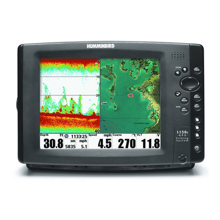
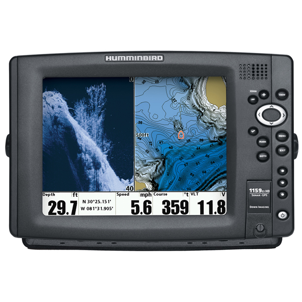
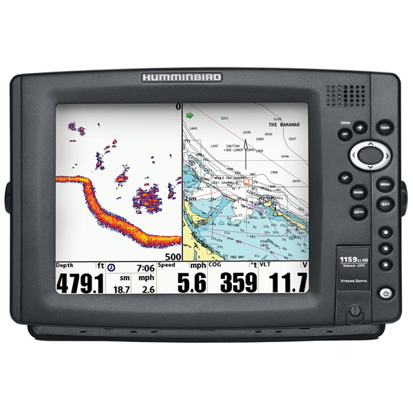
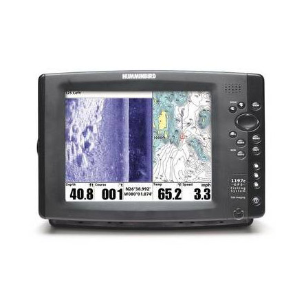
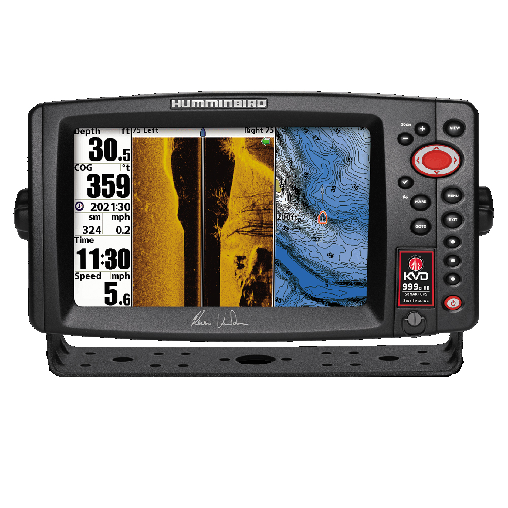
Other Products in the Series: