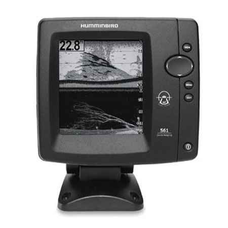
HUMMINBIRD 581i HD DI Combination Fishfinder/Chartplotter

Item: 408990-1
This item is brand new
$299.95
This item ships within 8 days


This item is brand new
$299.95
This item ships within 8 days
Cables

700030-1
AS-HHGPS Handheld GPS Connection Kit
AS-HHGPS Handheld GPS Connection Kit
No Longer Available

720003-2
EC-W30 30 ft Transducer Extension cable
EC-W30 30 ft Transducer Extension cable
No Longer Available
Mounts


SP2S
SPOD sail pod uncut small MFD display
SPOD sail pod uncut small MFD display
No Longer Available

SP2S1
SP2S1 rail pod - uncut 11 x 6.125 inch
SP2S1 rail pod - uncut 11 x 6.125 inch
Out of stock
Marine Networking

720002-1
PC10 Power Cable
PC10 Power Cable
No Longer Available

Sensors and Boards

730021-1
SW Speed Sensor, MFG 730021-1, Transom mount, with 20 ft cable
SW Speed Sensor, MFG 730021-1, Transom mount, with 20 ft cable
No Longer Available

730000-1
TS-W Temp/Speed Sensor
TS-W Temp/Speed Sensor
No Longer Available
Transducers Humminbird

Compatible maps
Suggested Maps and Software:
 | Navionics Marine Charts |
Contents of the package
In the box:
- 581i HD DI Display
- Transom mount transducer
- Mounting bracket
- Installation hardware
- Owner's manual
Features
Model 581i HD DI Combination Fishfinder/ChartplotterExperience the Power of Down Imaging Sonar
The 581i HD DI Combo features a high definition 16 level grayscale 640V x 320H, 5" display with 300 watts RMS power output and GPS Chartplotting with built-in UniMap.
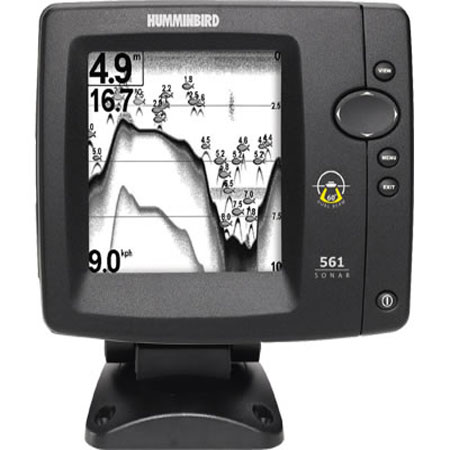
Down Imaging 2D Sonar Technology
This view provides complete understanding of what, exactly, is going on below your boat. Quickly identify structure with Down Imaging, while using 2D to locate and target fish. Together, they take the guesswork out of sonar fishfinding.
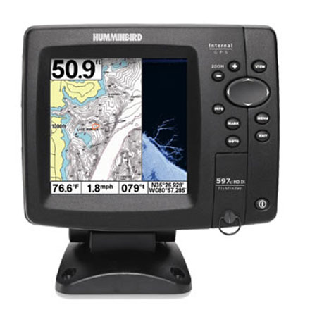
Humminbird UniMap
The built-in UniMap covers the contiguous U.S.A. coastline and inland lakes and rivers at 30 meters per pixel resolution. On the coast, this clearly shows features as small as canals, and many coastal navigation lights. Inland, the UniMap features virtually all recreational lakes and rivers, plus hundreds of thousands of small lakes that dont appear on other charts. In other words, your lake is likely to be there! The detail of these charts can be seen right on this page. With the UniMap, you have a chart virtually anywhere you travel in the United States.
Advanced Sonar Features
- Freeze Frame with ability to Mark Structure on Sonar
- Real Time Sonar RTS Window
- Selective Fish ID
- Sonar Echo Enhancement
- Split Screen Zoom
- Wide Narrow Cone Split Screen
- Custom Digital Readout Selection
- Custom View Selections
- Large Digits View
- Quick Disconnect Mounting System
- Triplog
- X Press Menu System
Specifications
Display5" diag. 16 level grauscale LCD
Resolution
640 x 320 Pixels
Dimensions
7"W x 7"H x 4"D
Mapping
Built-in UniMap, optional Navionics Gold/HotMaps, LakeMaster
Waypoints/Routes
2500 waypoints, 50 routes, 20,000 trackpoionts, 50 saved tracks
Frequency
200/455 KHz Switchfire sonar; 455/800KHz Down Imaging sonar
Antenna
Internall GPS antenna included
Power 300 Watts
Transduser Transom mount transducer included
Other Functions
None
Interface
Ethernet; NMEA 0183 in/out
Warranty
One Year
Item number: 408990-1
UPC: 082324038358
Package weight: 9 lb
Other Products in the Series: