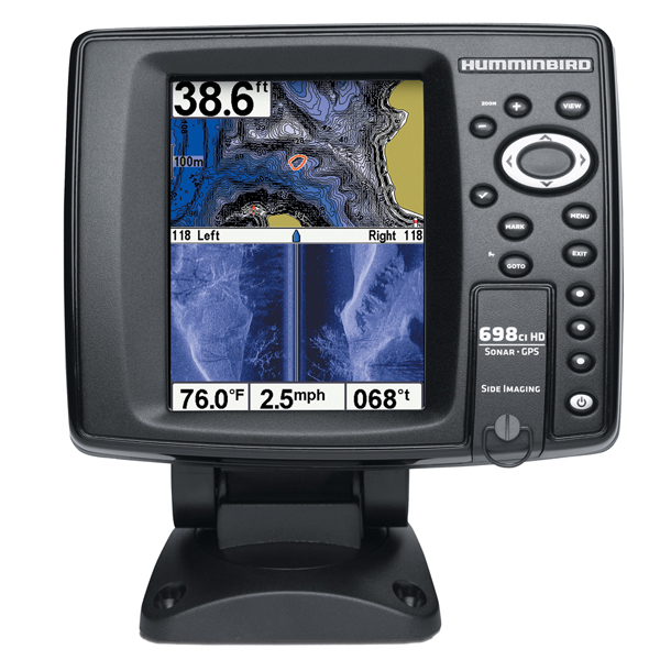
HUMMINBIRD 688ci HD XD Combo, 50/83/200KHz
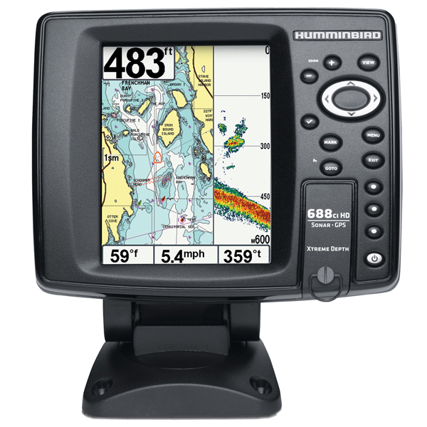
Item: 409450-1
This item is brand new
$495.99
This item ships within 2 days


This item is brand new
$495.99
This item ships within 2 days
Cables

720003-1
EC W10 Transducer Ext. Cable, 7 pin, 10 ft
EC W10 Transducer Ext. Cable, 7 pin, 10 ft
No Longer Available

700030-1
AS-HHGPS Handheld GPS Connection Kit
AS-HHGPS Handheld GPS Connection Kit
No Longer Available

720003-2
EC-W30 30 ft Transducer Extension cable
EC-W30 30 ft Transducer Extension cable
No Longer Available
Mounts

740119-1
MS 700E Quick Disconnect Mount System, for 700 Series Ethernet models
MS 700E Quick Disconnect Mount System, for 700 Series Ethernet models
No Longer Available

SP2S
SPOD sail pod uncut small MFD display
SPOD sail pod uncut small MFD display
No Longer Available
RAM Mounts

Marine Networking

720002-1
PC10 Power Cable
PC10 Power Cable
No Longer Available
Sensors and Boards

730000-1
TS-W Temp/Speed Sensor
TS-W Temp/Speed Sensor
No Longer Available
Transducers Humminbird


710161-1
P72 XPT 9 20 T Depth transducer w temp
P72 XPT 9 20 T Depth transducer w temp
Out of stock

710167-1
XTH 9 20 P Depth transducer
XTH 9 20 P Depth transducer
No Longer Available

710181-1
XFM 9 20 Depth transducer
XFM 9 20 Depth transducer
Out of stock


710214-1
XNT 9 20 Depth Transducer, MFG 710214-1, 83 200KHz, 6020 beam angle
XNT 9 20 Depth Transducer, MFG 710214-1, 83 200KHz, 6020 beam angle
No Longer Available

710164-1
XP-9-20 Puck 200/83 kHz Beam 20/60 ThruHull Transducer
XP-9-20 Puck 200/83 kHz Beam 20/60 ThruHull Transducer
No Longer Available

710165-1
XAP-9-20 Angled Puck Transducer
XAP-9-20 Angled Puck Transducer
No Longer Available

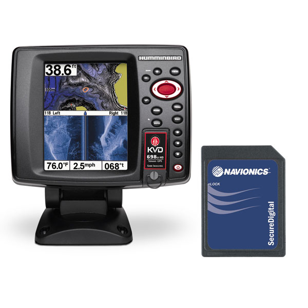
Compatible maps
Suggested Maps and Software:
 | Navionics Marine Charts |
Contents of the package
Box Dimensions
5"H x 10"W x 15"L WT: 4.8lbs
In the Box
688ci HD XD Display
Transom mount transducer
Mounting bracket
Installation hardware
Owner's manual
5"H x 10"W x 15"L WT: 4.8lbs
In the Box
688ci HD XD Display
Transom mount transducer
Mounting bracket
Installation hardware
Owner's manual
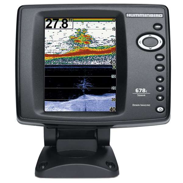
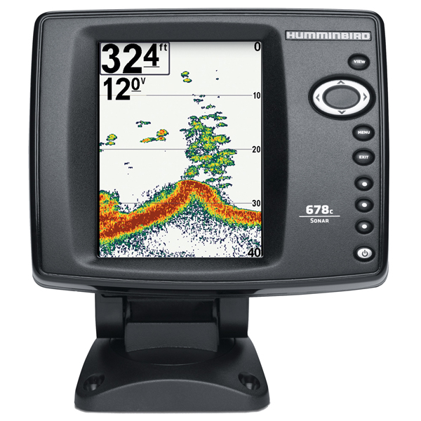
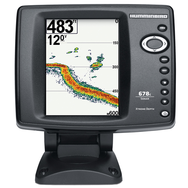
Features
688ci HD XD
Although 600 Series units are compact, they are incredibly large on feature sets and functionality. From inception, the 600 Series was designed to meet the needs of anglers who want all the pro features of larger units but in a sleek, unobtrusive footprint with medium-size, easy-to-read screen. Whether gimbal mounted in the fore or aft of your boat or flush-mounted in the dash, the 600 Series brings anglers world-class fish-finding without having to compromise space for other instrumentation or fishable space.
Xtreme Depth Model
5-inch display: 320V x 240H, 256 Color
DualBeam PLUS w/SwitchFire: 200kHz / 20° @-10dB; 83kHz / 60° @-10dB; 50 kHz / 74° @-10dB
Depth: 2,500' (XD model)
4,000W (PTP), 500W (RMS)
Selective Fish ID+
Quick Disconnect
Humminbird UniMap included
Optional - Navionics® Gold/HotMaps
Optional XNT-9-DB-74-T 50 kHz deepwater transducer available for extreme deepwater performance
Specifications
Display 5" diag. color LCDResolution 480 x 640 pixels
Antenna Internal GPS antenna included
Power 1000 Watts
Frequency 50/83/200 KHz Dual Beam+ sonar
Transducer Transom mount transducer included
Mapping Built-in UniMap, optional Navionics Gold/HotMaps, LakeMaster
Waypoints/Routes 2,500 waypoints, 45 routes, 20,000 trackpoints, 50 saved tracks
Interface NMEA 0183 out
Other Functions None
Warranty One Year
Item number: 409450-1
UPC: 082324043222
Package weight: 4.8 lb
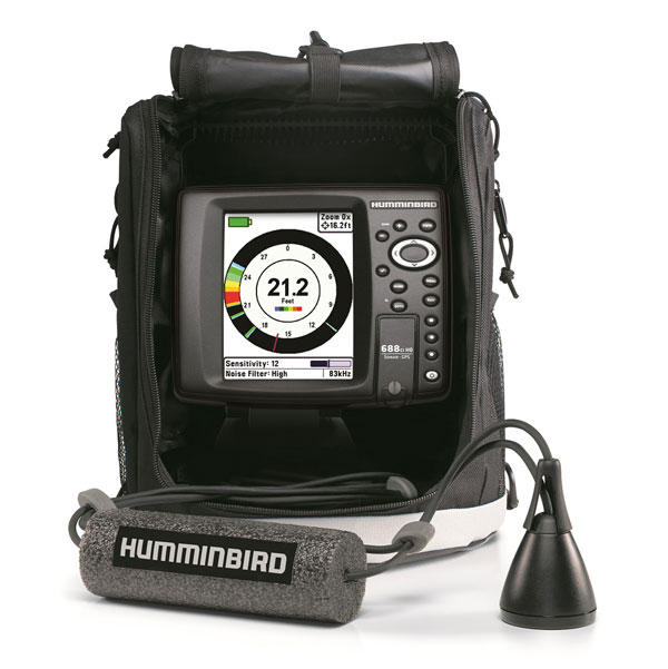
Other Products in the Series: