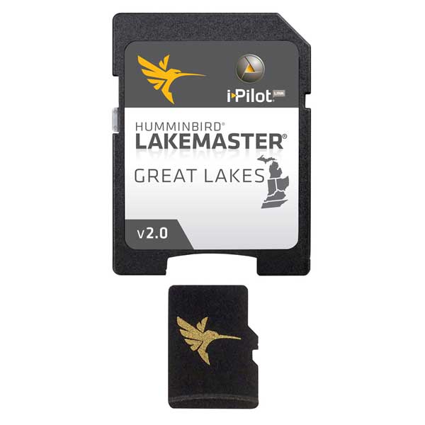
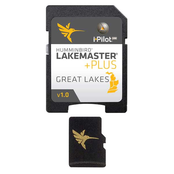
HUMMINBIRD LakeMaster Chart - Great Lakes - MicroSD/SD
Item: 600015-3
This item is brand new
$124.95
This item ships within 3 days


This item is brand new
$124.95
This item ships within 3 days
Contents of the package
Features
LakeMaster Chart - Great Lakes - MicroSD/SDThe Humminbird LakeMaster Great Lakes Edition, Version 2 Map Card combines many of the best fishing waters for Indiana, Ohio, Michigan, Kentucky and Tennessee all on one map card.
The Great Lakes Version 2 map card is i-Pilot® Link compatible.
This map card has over 980 total lakes with contours, of which over 320 are now High Definition lakes including these highly requested water bodies:
Barkley
Guntersville
Nickajack
Pickwick
Plus portions of the Ohio River and More!
The map card also has outstanding coverage on these Great Lakes:
Lake Michigan
All of Lake Michigan in 5' & 10' contours
Green Bay, Big Bay De Noc, Little Bay De Noc, and Sturgeon Bay in 3' contours
Little Traverse Bay, Grand Traverse Bay
Lake Huron
All Huron U.S. Waters -5' contours
St. Marys River - 5' Contours
St. Clair River & Lake St. Clair - 3' Contours
Saginaw Bay - 3' Contours
Lake Erie
All of Lake Erie -1' contours
Detroit River -1' contours
Specifications
Item number: 600015-3
UPC: 082324046575
Package weight: 1.4 lb
Other Products in the Series:


List of Compatible Units:
Note: Displayed are products sold in gps4us store.
There might be more GPS units compatible with chosen accessory.