LOWRANCE Elite-5 Ti Touch Nav Plus with DownScan Transducer

This item is brand new
$508.95
Backorder, ships in 3 - 4 weeks
|cw|sw|wi


Suncover for Elite-5 Ti


Suggested Maps and Software:
 | Navionics Marine Charts |
 | Lowrance Maps |
 | C-Map Charts |
 | Cmor maps |
Contents of the package
Features
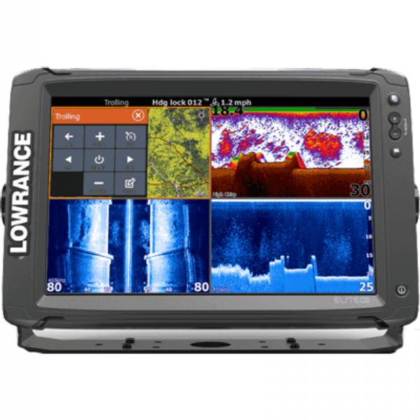
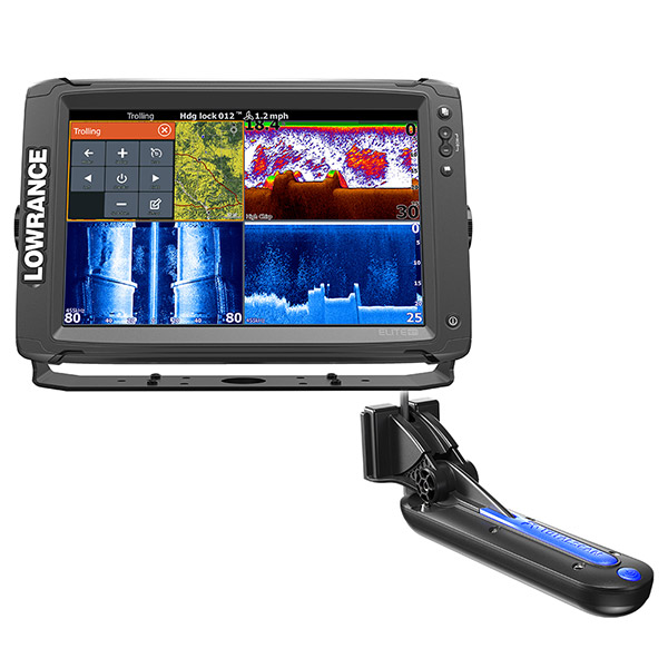
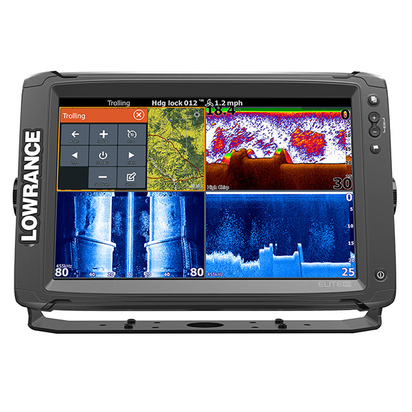
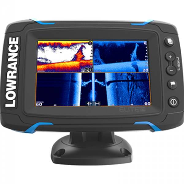
Elite-5 Ti Touch Combo - 83/200/455/800 HDI Transom Mount Transducer w/Navionics+ ChartThe Lowrance® Elite-5 Ti is a touchscreen fishfinder/chartplotter that matches high-end functions and features with powerful performance - all at an affordable price.
Sporting a 5", high-resolution touchscreen display, the Elite-5 Ti has your sonar needs covered with StructureScan® HD compatibility and support for Low/Mid/High CHIRP and 83/200 /455/800kHz frequencies. It has a built-in GPS antenna and trusted Lowrance navigation features, allowing you to navigate with ease.The Elite-5 Ti also features integrated Bluetooth® and wireless connectivity that not only allows you to download software updates directly to the unit, but gives you the capability to download Insight Genesis custom maps to the unit - for immediate use - directly from the water.
High resolution display:Lowrance-exclusive, high-resolution, 5", LED-backlit color display
Easy-to-use touchscreen:Touchscreen provides fast, fingertip access to all Elite-5 Ti features
CHIRP Sonar, StructureScan®and DownScan Imaging:Top-of-the line sonar technologies provide the best possible view of the environment beneath your boat. StructureScan requires optional TotalScan transducer
TrackBack:Scroll back through your sonar, SideScan or DownScan history to review structure or fish targets and mark the location with a waypoint
Internal GPS antenna:Highly accurate, built-in GPS antenna plus a detailed U.S. map
Optional chart upgrades:Optional Americas chart upgrades include Lake Insight and Nautic Insight PRO and HD, Navionics HotMaps® Premium and Fishing Hotspots® PRO. Global chart upgrade options include Navionics + and Jeppesen C-MAP MAX-N
Built-in wireless connectivity:Provides access to the GoFree Cloud where you can shop, purchase, download and immediately use Insight maps, and third-party maps from GoFree partners
microSD card slot
Quick Release bracket
Overview:
Display:5"/ 127mm (16:9)
Resolution:480W x 480H
Backlighting:LED
Power Output:Max 500W RMS
Languages:31 - Available in regional language packs
Media Port:1 microSD slot
Power Supply (Supply voltage):12 VDC (10-17 VDC min-max)
Current Draw kW: 12 W (0.9 A @ 13 vDC)
Sonar
DownScan Imaging at 455 kHz: Max 300' / 91M
SideScan Imaging at 455kHz: Max 300' /91M to each side
CHIRP Sonar High Range/200 kHz: 1000' / 305M
CHIRP Sonar Med Range/83 kHz: 1000' / 305M
Available Sonar Frequencies
Low/Mid/High CHIRP
50/83/200 kHz Broadband
455/800 kHz SideScan/DownScan imaging
Depth Alarm:Yes
Shallow Alarm:Yes
Temperature Readings:Yes
Transducer Type: Multiple Selections Lowrance and Airmar
GPS Navigation
Navigation: Routes:100
Navigation: Waypoint Storage:3000
Plot Trails:Up to 100 trails with up to 10,000 points per trail
GPS Antenna Type:10kHz Internal high-sensitivity WAAS/EGNOS/MSAS
GPS Alarms:Yes
Custom Mapping:Lake Insight and Nautic Insight PRO and HD, Insight Genesis, Navionics® Gold and HotMaps® Premium, Fishing Hotspots® PRO (US Models) and Jeppessen C-Map Max-N
Networking:NMEA 0183 and NMEA 2000®
Comes with
Display
Mounting Bracket (QRB-5)
Power Cable (000-0127-49)
Med/High/455/800 khz Transom Mount Transducer(000-12570-001)
Navionics+ Chart
Specifications
The specified price is for: 1 itemBasemap Yes
Card Format Micro SD
Cartography - Preloaded No
Cartography Brand Navionics/C-Map-N
Cartography Type Gold/HotMaps Premium/C-Map-N
Frequency 83/200/455/800
Included Transducer 000-12570-001
Internal/External Antenna Internal
Resolution (VxH)480 x 480
Screen Size 5"
Screen Type Color
Speed/Temp Temp Only
Touchscreen Yes
Transducer Type Transom Mount
Waterproof Rating Waterproof
Watts RMS - Max500w
Waypoints/Routes 3000/100
Weather Capable No
Item number: 000-12697-001
UPC: 9420024147023
Package weight: 6.2 lb
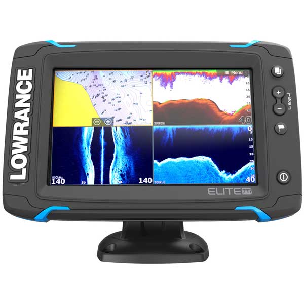
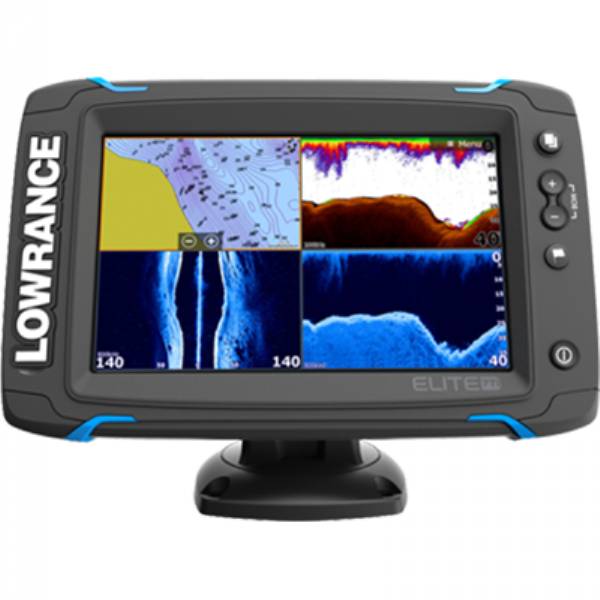
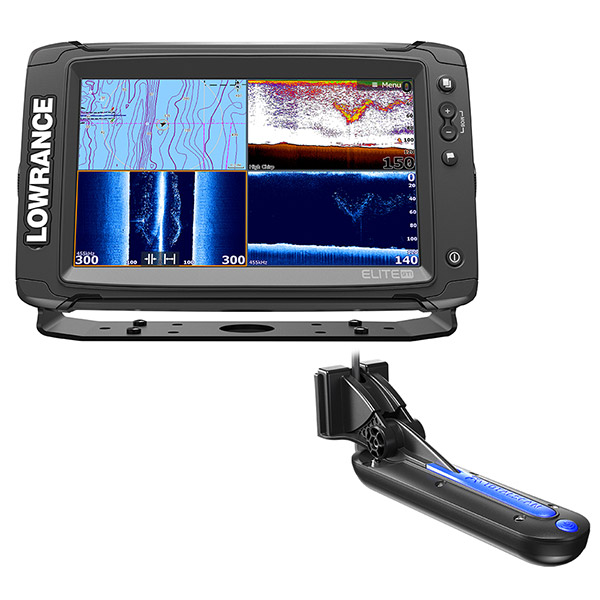
Other Products in the Series: