LOWRANCE Elite-9 CHIRP Navionics plus, 50/200,455/800

This item is brand new
$1,170.95
This item ships within 4 days


B164 1kW 20 tilt 200/50kHz Bronze Transducer 7pin Blue


P79-BL 50 200 Khz Plastic In-Hull Transducer Blue


Suggested Maps and Software:
 | Navionics Marine Charts |
 | Lowrance Maps |
 | C-Map Charts |
 | Cmor maps |
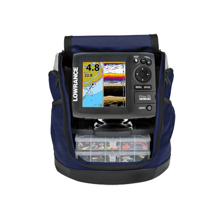
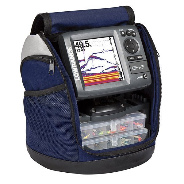
Contents of the package
Mounting bracket
Transom mount transducer
Installation hardware
Owner's manual
Features
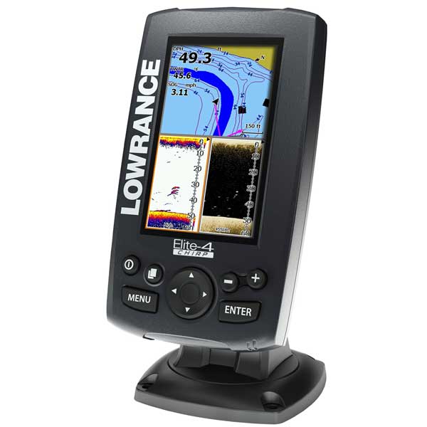
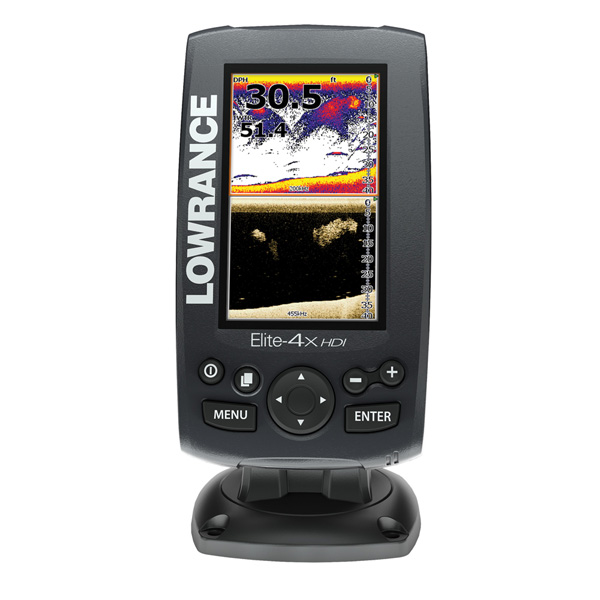
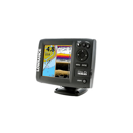
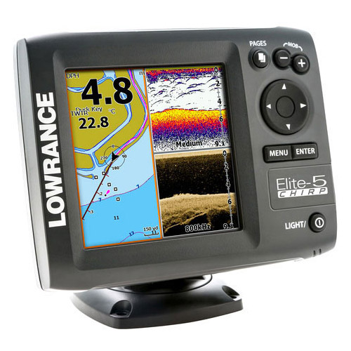
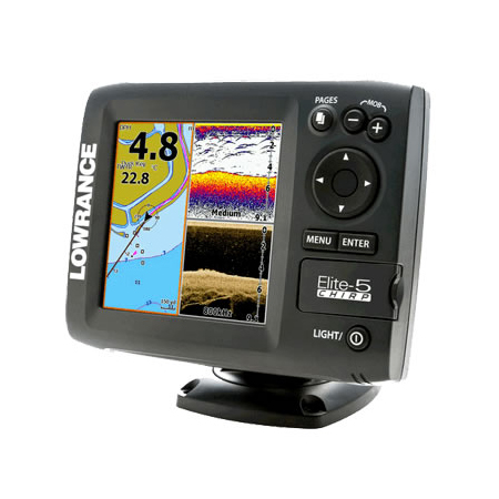
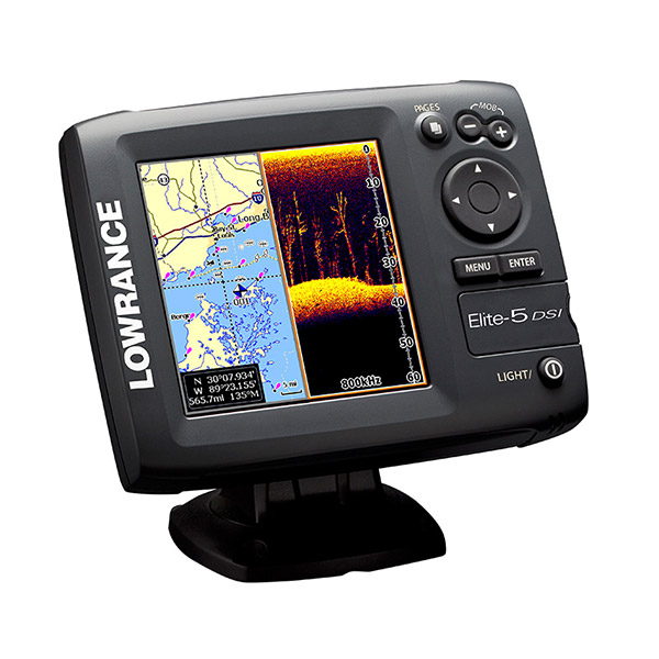
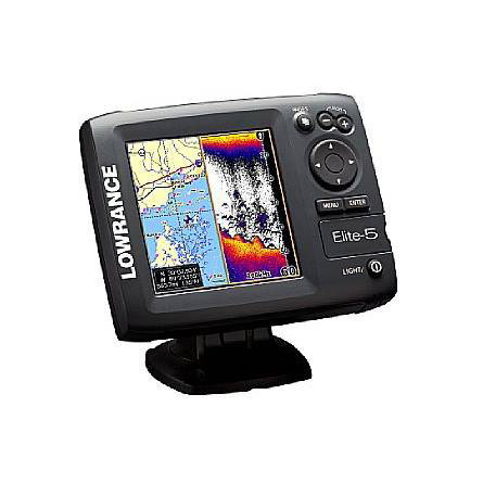
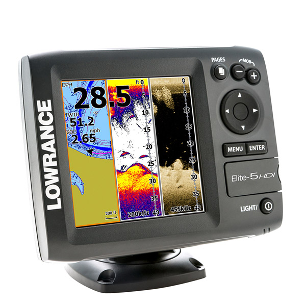
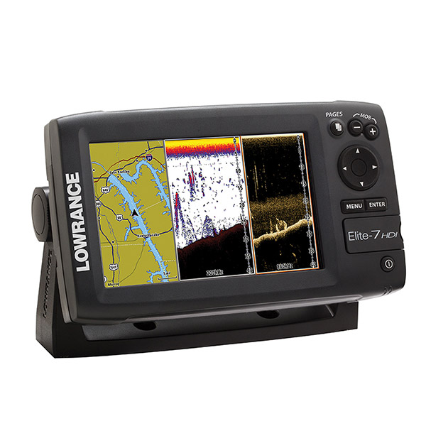
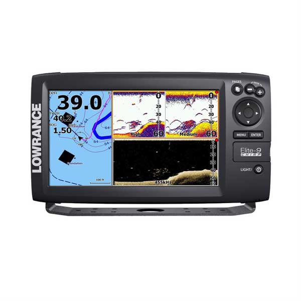
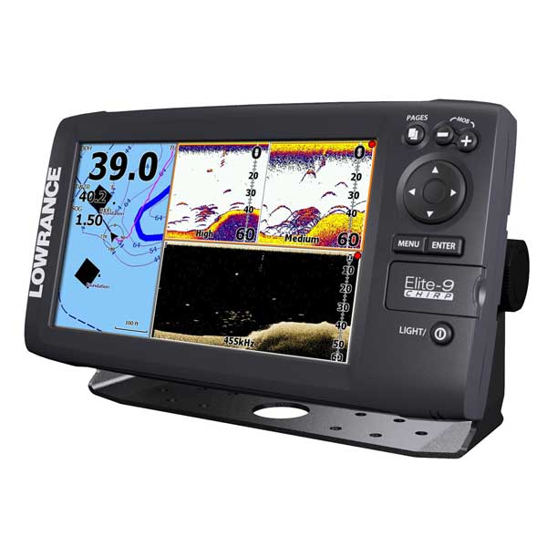
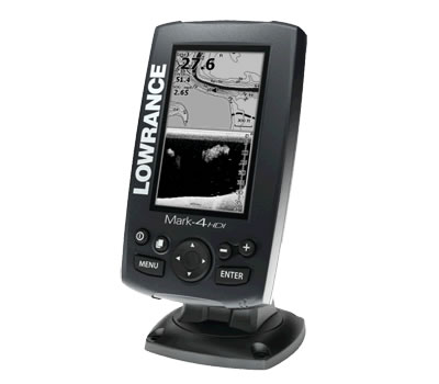
Lowrance Elite-9 CHIRP Fishfinder/Chartplotter with Navionics+ Chart 50/200 455/800 HDI TransducerElite-9 CHIRP Fishfinder/Chartplotter easy-to-use, 9-inch fishfinder/chartplotter combines CHIRP Sonar with DownScan Imaging technology, a super-bright, LED-backlit color display, built-in GPS antenna and Navionics+ high-definition mapping.
Combining the benefits of CHIRP Sonar with DownScan Imaging for the best possible view below your boat, the Elite-9 CHIRP fishfinder/chartplotter -- bundled with a Navionics+ high-definition Chartcard -- features today's best sonar solution for greater sensitivity, improved target resolution and superior noise rejection for clearer, easy-to-see bait fish and game fish targets - all on a brilliant widescreen display.
Easier to identify and distinguish bait and game fish targets
Better target identification at greater depths
Mark fish clearly at faster boat speeds
Lowrance-exclusive, brilliant, high-resolution, 9-inch, LED-backlit color display
CHIRP Sonar plus DownScan Imaging -- the power of today's leading fishfinder technologies combined to provide the best possible view beneath your boat
Highly accurate, built-in GPS antenna plus a detailed U.S. map featuring more than 3,000 lakes and rivers and coastal contours to 1,000'
Navionics+ chartcard featuring full coastal and inland coverage of the U.S. and Canada, plus the Great Lakes, Alaska, Hawaii and the Bahamas - plus online access to Navionics chart enhancements including Freshest Data, Sonar Charts and Community Edits
Optional Americas chart upgrades include Lake Insight and Nautic Insight PRO and HD, Navionics HotMaps® Premium and Fishing Hotspots® PRO. Global chart upgrade options include Navionics+ and Navionics Gold and Jeppesen C-MAP MAX-N
Create your own map from real sonar data that you record with Insight Genesis
DownScan Overlay technology overlays DownScan Imaging onto CHIRP Sonar
Advanced Signal Processing (ASP) reduces the need to manually adjust settings to see fish, structure and bottom detail more clearly
TrackBack to review recorded sonar history including structure, transitions or fish targets, then pinpoint locations with a waypoint
Easy-to-use page selector menu with quick access to all features using one-thumb operation
Multi-Window Display lets you quickly and easily choose from pre-set page layouts -- including a three-panel view with chart, CHIRP Sonar and DownScan Imaging
NMEA 2000® connectivity allows waypoint sharing among networked chartplotters, plus the ability to add an optional temp sensor, Point-1 GPS antenna with heading sensor, as well as a Class-B AIS receiver
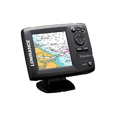
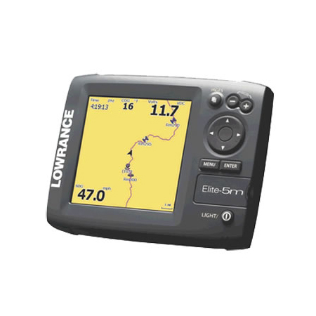
Overview
Display: 9"/ 229mm (16:9) Full VGA SolarMax Plus
Resolution: 16-bit color TFT 800 x 480
Backlighting: LED
Power Output: RMS (PTP): Max 250W RMS, 30,000W Peak to Peak (analog equivalent)
Languages: 31
Operating Voltage: 12V DC (10-17V DC min-max)
Media Port: One (1) high-capacity microSD slot
Warranty: One year
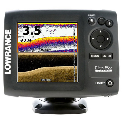
Sonar
Depth Alarm: Yes
Output Power: RMS (PTP): Max 250 RMS, 30,000W Peak to Peak (analog equivalent)
Shallow Alarm: Yes
Temperature Readings: Yes
Max Depth Per Sonar Operation:
DownScan Imaging at 455 kHz: Max 300' / 91M
CHIRP Sonar High Range/200 kHz: 1,000' / 305M
CHIRP Sonar Med Range/83 kHz: 1000' / 305M
CHIRP Sonar Low Range/50 kHz: 3,000' / 914M
Technical/Environmental
Waterproof Standard/Rating: IPx7
Product Width: 11.06" \ 281mm
Product Depth: 3.13" \ 80mm
Product Height: 6.16" \ 157mm
Power Supply (Supply Voltage): 12V DC (10-17V DC min-max)
GPS Navigation
Navigation: Routes: 100
Navigation: Waypoint Storage: 3,000
GPS Antenna Type: Internal high-sensitivity WAAS + EGNOS + MSAS (optional external antenna, Point-1)
Plot Trails: Up to 100 trails - up to 10,000 points / trail
GPS Alarms: Yes
Memory Card Capable: One (1) high-capacity microSD slot
Background Mapping: World reference basemap plus over 3,000 enhanced U.S. lake maps with depth contour and shoreline detail, and U.S. coastal depth contours/shoreline detail and spot depth soundings to 1,000' / 305M
Navionics+ Chartcard: Full coastal and inland coverage of the U.S. and Canada, plus the Great Lakes, Alaska, Hawaii and the Bahamas
Mapping Options: Optional Americas chart upgrades include Lake Insight and Nautic Insight&153; PRO and HD, Navionics HotMaps® Premium and Fishing Hotspots® PRO. Global chart upgrade options include Navionics+ and Navionics Gold and Jeppesen C-MAP MAX-N
Networking Connectors
NMEA Output: NMEA 0183 and NMEA 2000® (waypoint sharing, Point-1 GPS antenna and Class-B AIS connectivity)
Power: Blue 10-pin power connector
Transducer Port: Blue 7-pin connector for CHIRP, StructureScan® HD and narrow-band transducer
Specifications
Display 9" diag. widescreen color LCDResolution 800 x 480 Pixels
Antenna Internal
Power 500 Watts
Frequency 50/200 KHz Broadband and 455/800KHz DownScan sonar
Transducer Transom mount transducer included
Mapping Preloaded Navionics Gold charts. Ability to add Navionics Hot Maps & Fishing Hot Spots charts,
and Lowrance Nautic Insight & Lake Insight, via micro-SD card
Waypoints/Routes 3,000 waypoints; 100 routes; 10,000 trackpoints
Interface NMEA 0183 in/out, NMEA 2000
Other Functions Multi-Window display
Dimensions 11.1"W x 6.6"H x 3.1"D
Warranty One Year
Item number: 000-12178-001
UPC: 9420024136713
Package weight: 11 lb
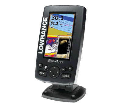
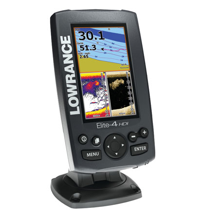
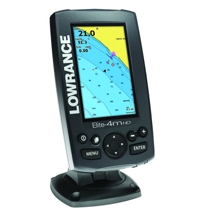
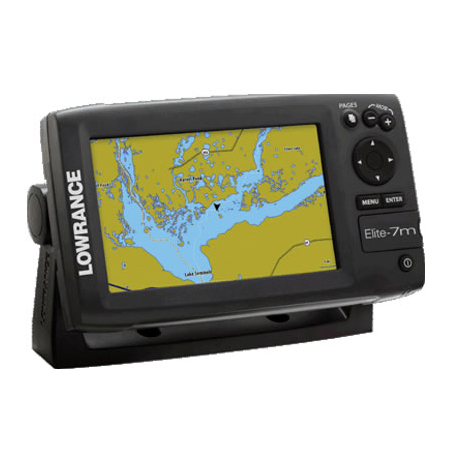
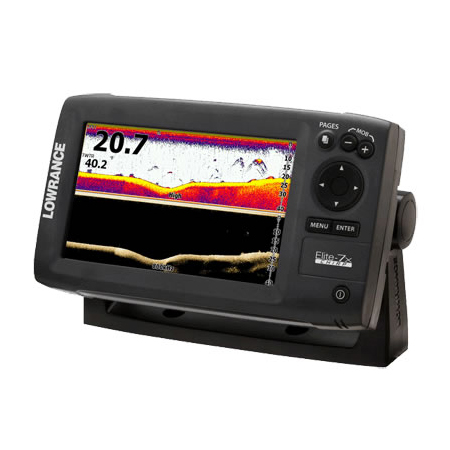
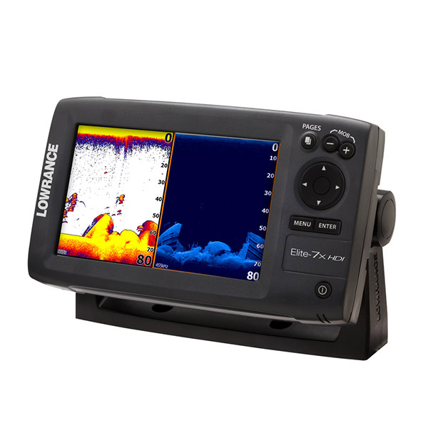
Other Products in the Series: