LOWRANCE HOOK REVEAL 9 TRIPLESHOT US INLAND

This item is brand new
$486.95
This item ships within 1 day
|cw|sw|wi|ss|ln


Suggested Maps and Software:
 | Navionics Marine Charts |
 | Lowrance Maps |
 | C-Map Charts |
 | Cmor maps |
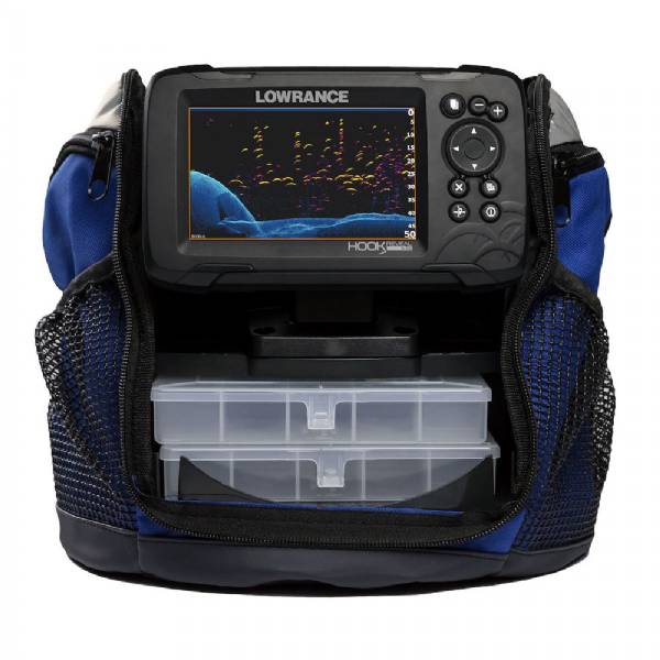
Contents of the package
TripleShot Skimmer Transducer
TripleShot Transom Bracket
Power Cable
Gimbal Bracket
Corner Clips
Documentation
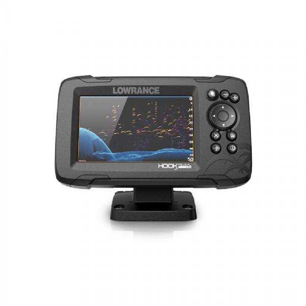
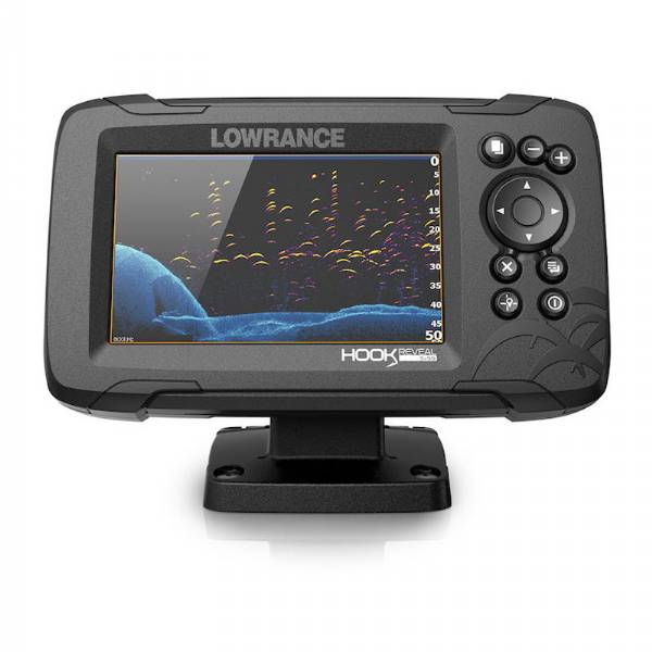
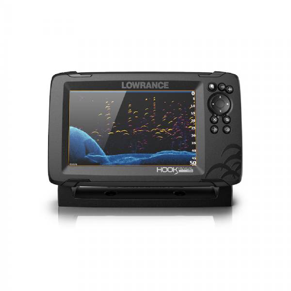
Features
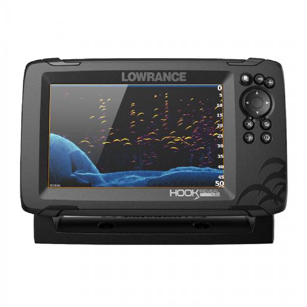
From the worlds best-selling series of fishfinders comes HOOK Reveal, a new fishfinder/chartplotter with one of our most popular features FishReveal. This powerful fishfinding tool combines the proven target identification of Lowrance CHIRP sonar with the high-resolution images of bottom detail and structure from DownScan Imaging. That gives you the ultimate fishing view, allowing you to target fish and get the best view of how they are relating to structure without the need for a CHIRP-DownScan Imaging splitscreen display.
Designed to make the most of your time on the water, HOOK Reveal ensures you get the best sonar image every time with Autotuning Sonar, a unique feature that automatically adjusts sonar settings as fishing conditions change. Whats more, youll cover more water in less time with double the sonar coverage of other fishfinders, and have an easier time accessing key features with an optimized keypad and simple menu layout.
HOOK Reveal comes with a loaded combination of navigation tools to get you on the fish, including a preloaded US Inland fishing map with 1-foot contours on 4,000 lakes and Genesis Live real-time mapping. Find productive fishing areas faster with the built-in fishing map or map uncharted areas down to ½-foot contours with Genesis Live.
Specifications
Item number: 000-15526-001
UPC: 9420064114610
Package weight: 8.00 lb
Other Products in the Series: