LOWRANCE HOOK2-5 SplitShot Ice Machine
This item is brand new
$400.95
Backorder, ships in 3 - 4 weeks
|cw|sw|wi


Suggested Maps and Software:
 | Navionics Marine Charts |
 | Lowrance Maps |
 | C-Map Charts |
 | Cmor maps |
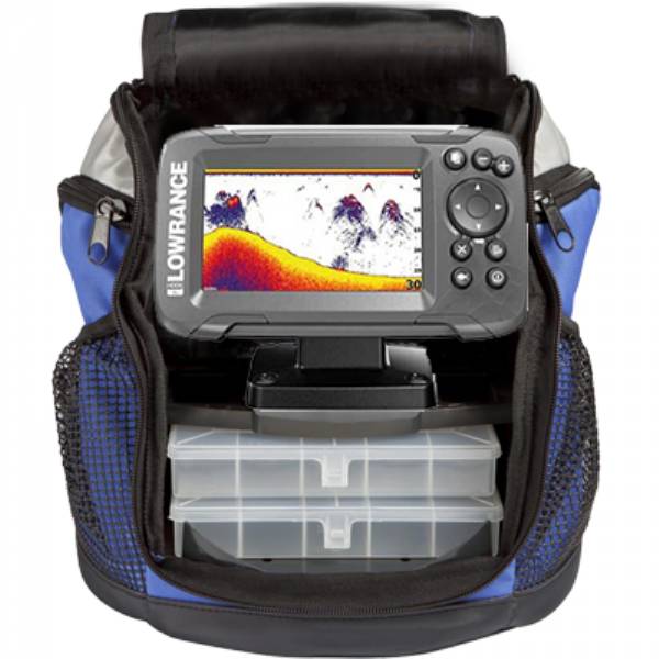
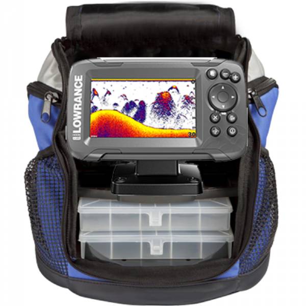
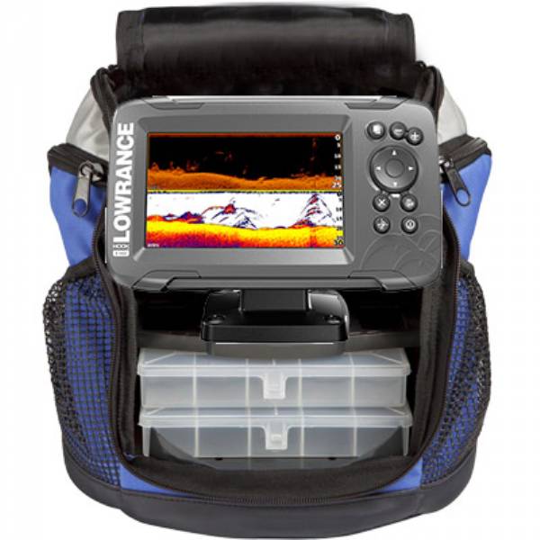
Contents of the package
two mounting options,
two stowaway storage boxes
Battery
Charger
Bag
High CHIRP ice transducer
Documentation
Features
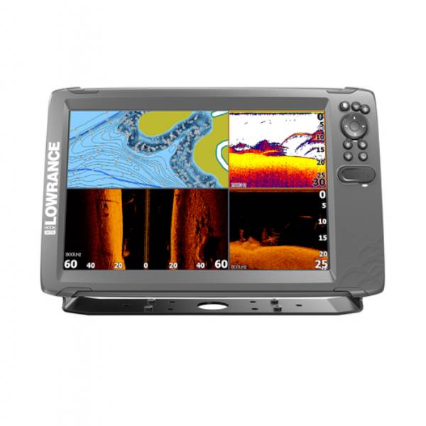
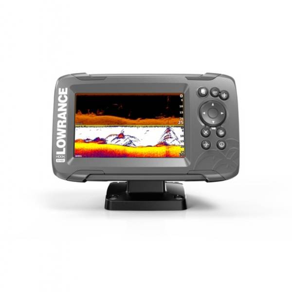
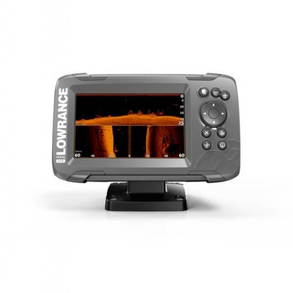
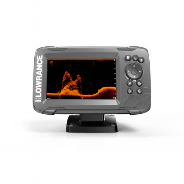
Lowrance Hook2-5 SplitShot Ice Machine
Model: 000-14181-001- 5-inch SolarMAX Screen
- Automated sonar settings
- Easiest-to-use menu operation and Dedicated Keypad
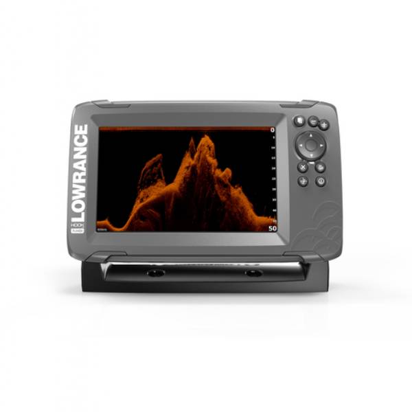
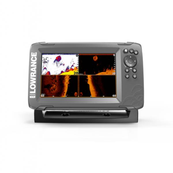
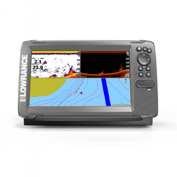
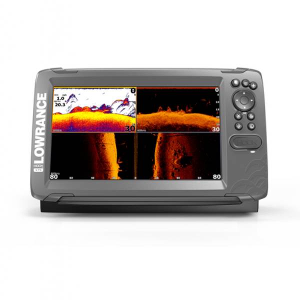
- SplitShot 2-in-1 Sonar with High CHIRP and DownScan Imaging
- Easy front-dash or quick-release bracket mounting installation
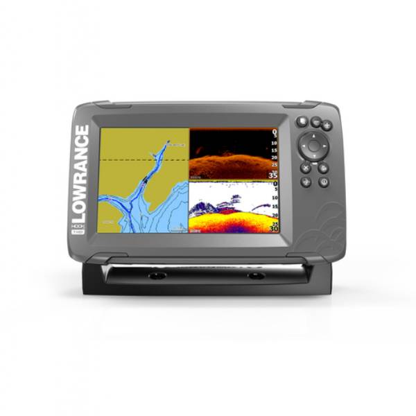
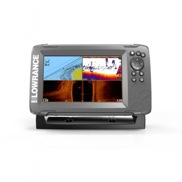
- Built-in detailed mapping
HOOK2-5 SplitShot Ice Machine The worlds easiest fishfinder, HOOK2-5 SplitShot offers simple menus, easy access to key functions and Autotuning sonar. Powered by proven Lowrance® performance, HOOK2-5 SplitShot features wide-angle, High CHIRP coverage and DownScan Imaging, plus a built-in, high-detail U.S. map, or worldwide basemap. Just plug it in and fish, it's that easy.
*Waypoints and Routes share the same memory, saving more of one means less of the other
Specifications
The specified price is for: 1 item| Display size | 5.0 |
| Display resolution | 800 x 480 |
| Display type | Color TFT |
| Sonar Broadband Frequency | 200kHz/ High CHIRP |
| Sonar DownScan Frequency | 455/800 kHz |
| Sonar Broadband Max Power | 200w RMS |
| Sonar DownScan Max Power | 500w RMS |
| Sonar Broadband Max Depth | 500' |
| Sonar DownScan Max Depth | DownScan: 300ft (91.4m) |
| Alarms | Shallow, Deep, Arrival, Depth |
| TrackBack | Yes |
| Temperature Readings | Yes |
| GPS Type | Internal high-sensitivity WAAS + EGNOS + MSAS |
| Waypoints | 3,000 |
| Routes | 100 |
| Trails | 100 plots with up to 10,000 points per trail |
| Waterproof | Yes, IPX-7 |
| Micro SD Card Slot | 1 |
| Input Voltage | 10-17vDC |
| Dimensions | 7.31" x 4.32" x 3.3" |
Item number: 000-14181-001
UPC: 9420024168264
Package weight: 15.00 lb
Other Products in the Series: