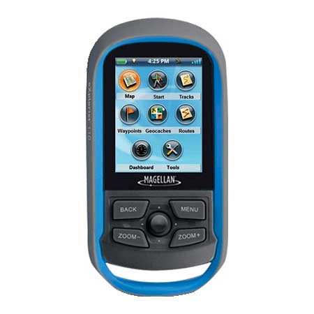
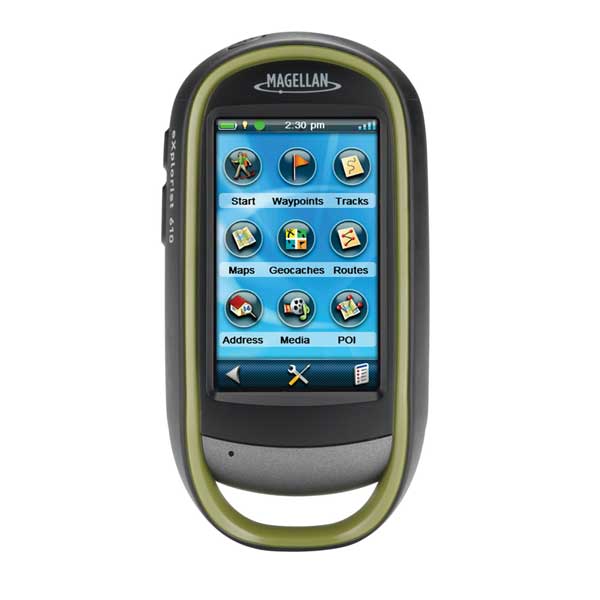
MAGELLAN EXplorist 710, 3 inch, Altimeter/Compass/Cam
Item: TX0710SGXUS
This item is brand new
$455.95
This item ships within 2 days


This item is brand new
$455.95
This item ships within 2 days
Mounts

Contents of the package
eXplorist GPS
USB data cable
2ea. AA batteries
Owner's manual
USB data cable
2ea. AA batteries
Owner's manual
Features
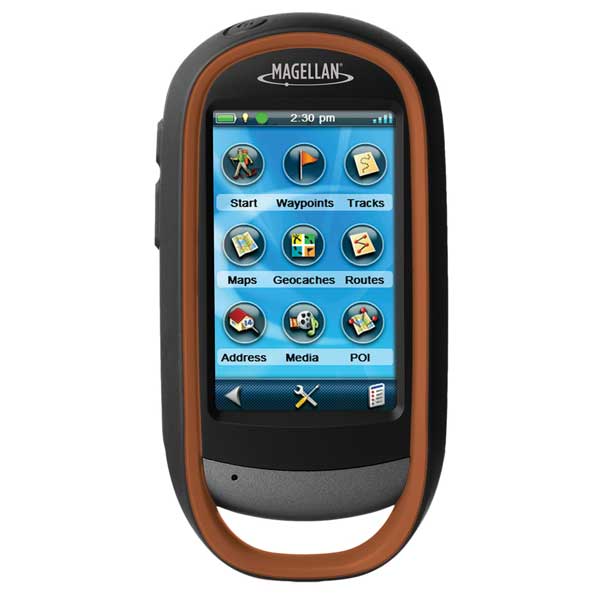
eXplorist 710, MFG TX0710SGXUS. Premium, rugged, handheld GPS w/ camera, electronic sensors, topographic and vehicle navigation maps. 3 inch touchscreen LCD, 3-axis electronic compass, barometric altimeter and 3.2 mega-pixel camera.eXplorist 710
The eXplorist Series introduces a revolutionary new user interface to outdoor navigation. Simply tap on the menu screen to reveal 4-Corners menu items. Roll over one of the four menu items to reveal more information.
Experience. Capture. Share.
Use the integrated camera, microphone and speaker to record geo-referenced images, videos and voice memos. Relive your outdoor adventures in the field, on your computer, or share with others.
Superior Mapping
The eXplorist Series packs the most accurate maps into the palm of your hand.
eXplorist 710 Features:
City Series (Turn-by-Turn Routable maps)
Summit Series (Detailed Topo Maps)
3-Axis Electronic Compass
Barometric Altimeter
Online Experience Sharing
GPX Compatible
World Edition Preloaded Map
3.0" Touch Screen, WQVGA, TFT
Paperless Geocaching
Camera, 3.2 Mega-Pixels with Auto Focus
Customizable Hard Buttons
micro SD card slot
Area Calculation
Explore with Magellan & Navionics - Anytime, Anywhere
eXplorist 510, 610, and 710 are now compatible with Navionics®onics® cartography. Navionics is a world of products that enhance your enjoyment on and off your boat. Simply purchase a Navionics Gold Chart, HotMaps® Premium, or Fish N' Chip Region (sold separately) and plug the micro SD Card into the eXplorist 510, 610 or 710.
Specifications
Display 3" color touchscreen LCDResolution 240 x 400 pixels
Battery 2 ea. AA, 15 hr. battery life
Mapping Preloaded worldwide map w/ roads for N. America and W. Europe, Summit TOPO maps, City
Nav maps. Ability to add maps via micro-SD card
Waypoints/Routes 2000 waypoints, 10,000 geocaches, 200 tracks of 10,000 points
Interface USB, NMEA 0183
Other Functions Paperless geocaching, 3D map viewing, 3.2 MP camera, mic, speaker, 3 axis compass and
barometric altimeter
Dimensions 2.57" x 5.04" x 1.45"
Waterproof Yes (IPX7)
Warranty One year
Item number: TX0710SGXUS
UPC: 763357124880
Package weight: 1.8 lb
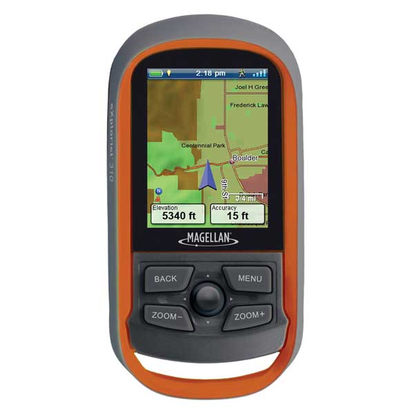
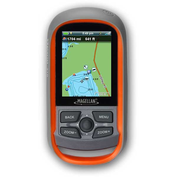
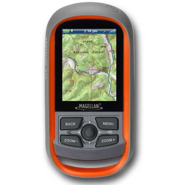
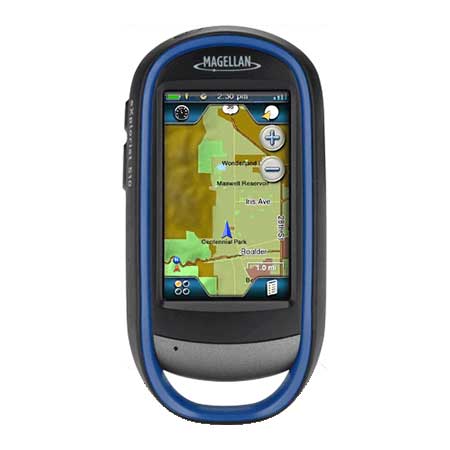
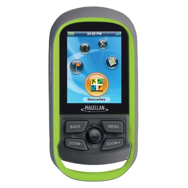
Other Products in the Series: