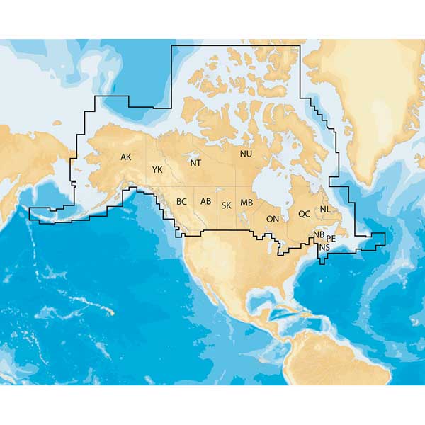
NAVIONICS plus Regions - Canada - Preloaded MSD Format
Item: MSD/NAV+CA
This item is brand new
$138.95
On Sale !!!
Backorder, ships in 3 - 4 weeks
|cw|sw|wi|ss


This item is brand new
$138.95
On Sale !!!
Backorder, ships in 3 - 4 weeks
|cw|sw|wi|ss
Contents of the package
Features
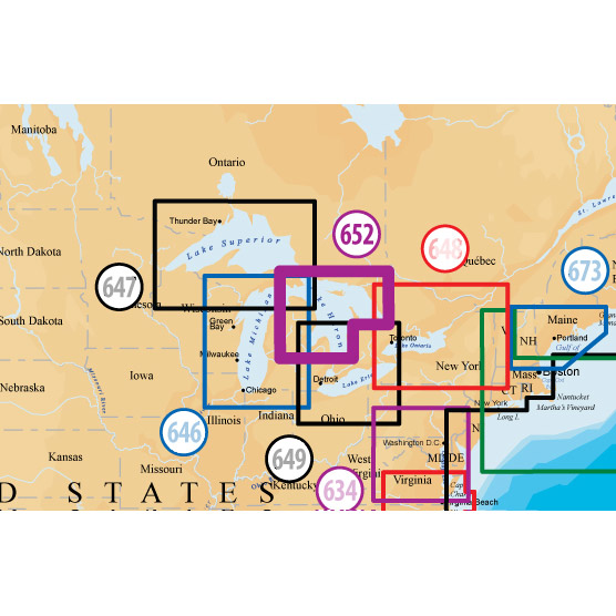
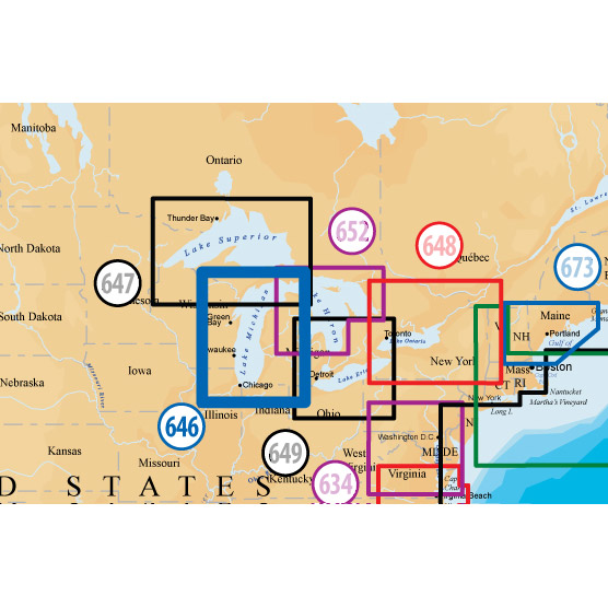
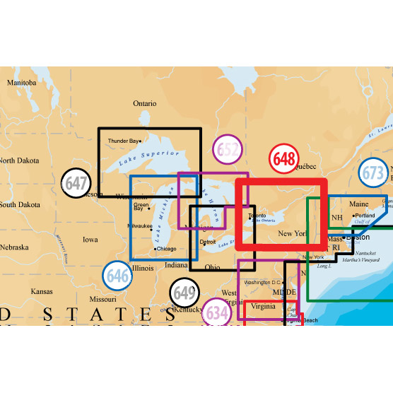
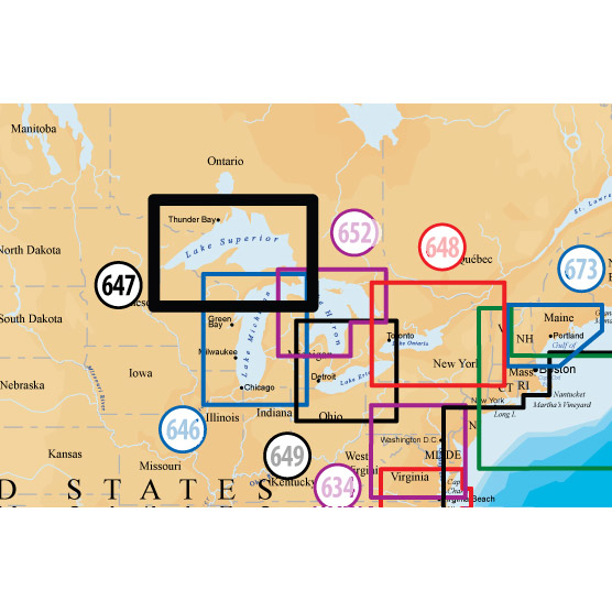
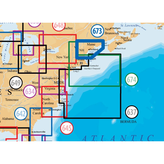
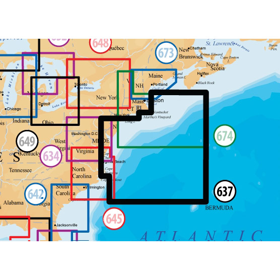
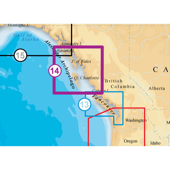
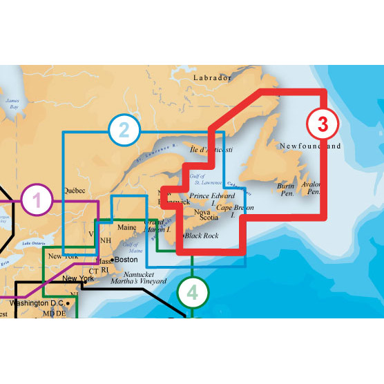
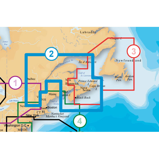
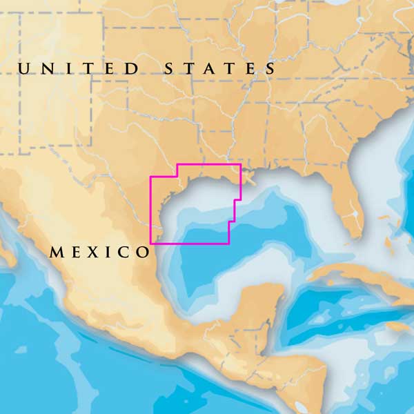
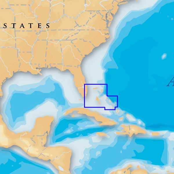
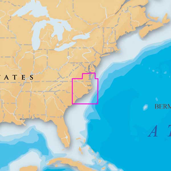
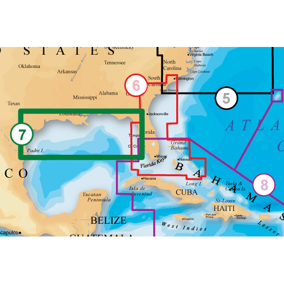
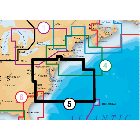
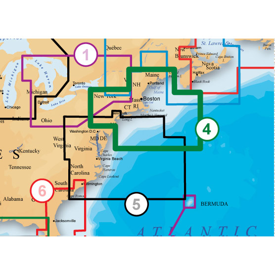
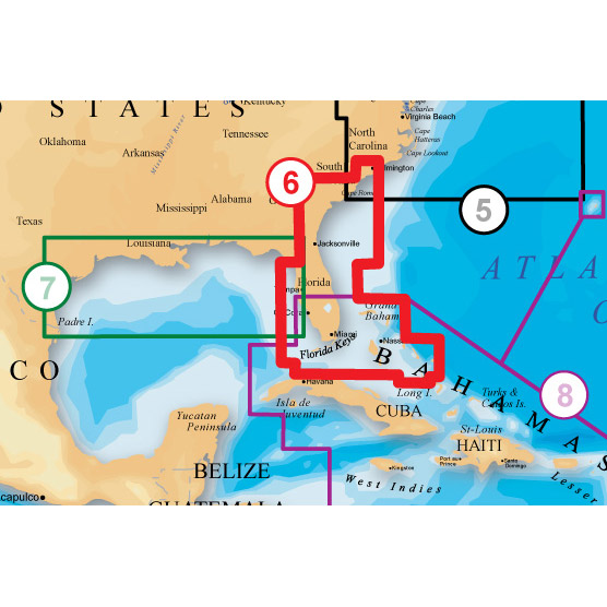
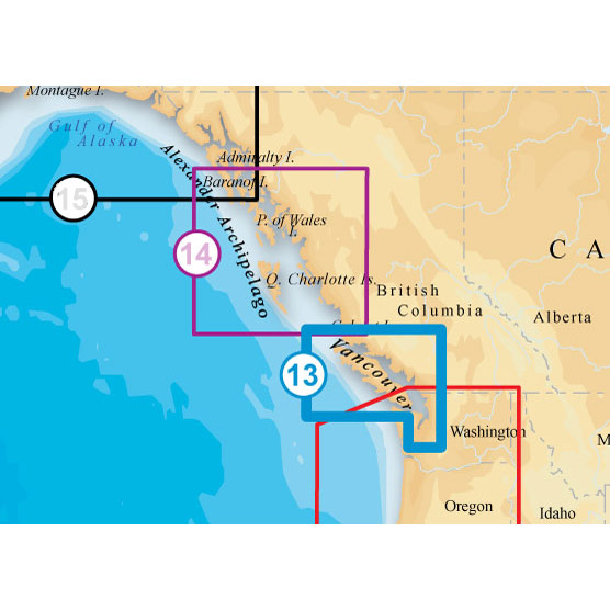
Navionics+ Regions - Canada - Preloaded MSD FormatNavionics+ is a powerful electronic chart solution providing more regional marine and lakes content than other product on the market! Get detailed Nautical Chart, SonarChart 1' HD bathymetry map, and Community Edits plus dailyupdates for one year! Includes full marine coverage and more than 3,400 lakes in Canada and Alaska, plus all of Puget Sound, Lake of the Woods, Rainy Lake and Canadian waters of the Great Lakes. Nautical Chart and SonarChart are preloaded. Simply plug your card into your PC/Mac to download the most updated charts and Community Edits anywhere within the entire region. 16 GB card and USB reader included.
Marine and lake charts
One foot contours
Canada and Alaska all in one
3,400 lakes and growing
Daily updates
Specifications
Item number: MSD/NAV+CA
UPC: 821245977083
Package weight: 0.3 lb
Other Products in the Series:

List of Compatible Units:
Note: Displayed are products sold in gps4us store.
There might be more GPS units compatible with chosen accessory.