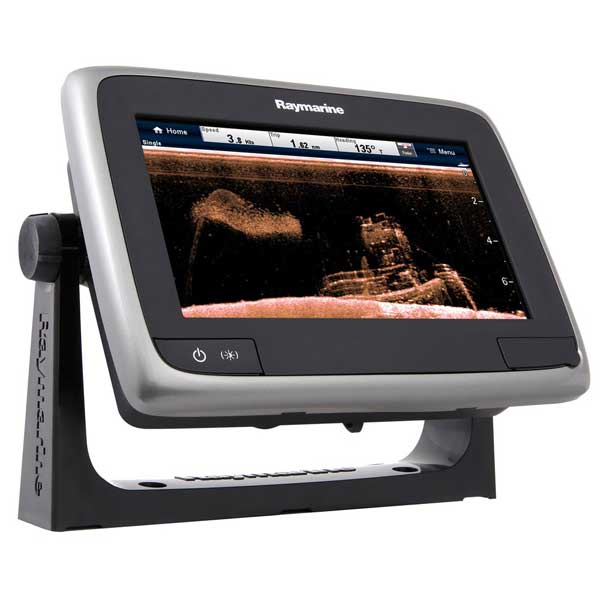
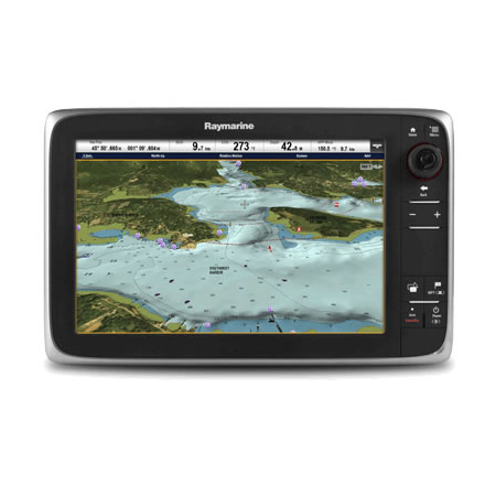
RAYMARINE A65 5.7 inch MFD Touchscreen Display w/Wi-Fi - Lighthouse Navigation Charts - NOAA Vector
Item: E70162-LNC
This item is brand new
$677.95
This item ships within 2 days
|cw|sw


This item is brand new
$677.95
This item ships within 2 days
|cw|sw
Mounts

Compatible maps
Suggested Maps and Software:
 | Navionics Marine Charts |
C-Map 4D Charts |
Contents of the package
Features
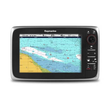
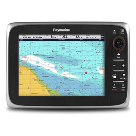
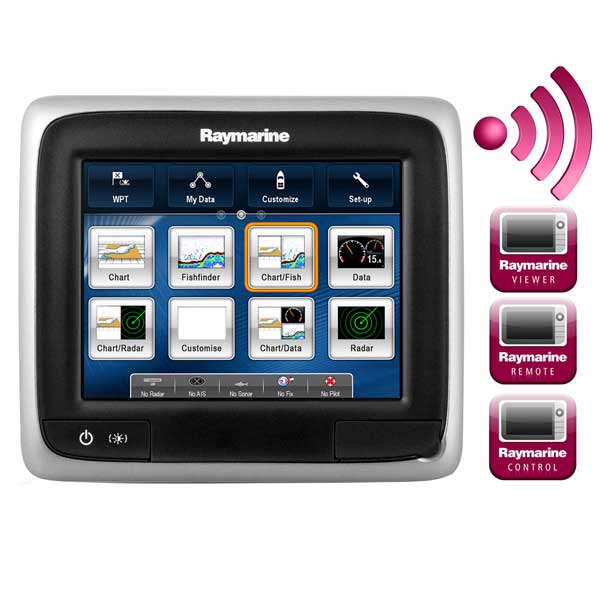
a65 Touchscreen Multifunction Display - Lighthouse Navigation Charts - NOAA Vectorw/dedicated WiFi for simple remote control
Raymarine has taken significant steps to expand a-Series functionality further withthe addition of built-in Wi-iFi.
Powerful, go-anywhere, touch screen; the speed and simplicity of Raymarine full-function navigation in a sleek 5.7" display.
a65: the perfect choice for chartplotting and networking
The compact a-Series multifunction displays are already extremely versatile, offering boaters simple and quick access via Raymarine's intuitive LightHouse user interface to navigation applications like GPS, sonar, radar and data. The expansion into dedicated Wi-Fi means that, as with Raymarine's award winning e-Series and c-Series MFDs, a-Series Wi-Fi owners will be able to use RayRemote and RayControl apps to control their a-Series Wi-Fi MFD directly from their smartphone or tablet.
RayControl transforms tablets into both a viewer and a full-function 2 way MFD control; the tablet syncs with the MFD and users touch the tablet screen to control the MFD; pulling upcharts, operating radar and sonar, selecting menus, setting waypoints, and more.
RayRemote is designed for use on smartphones, switching their smaller screens between a full screen MFD repeater display and a full screen virtual keypad with just a tap of the display. Raymarine apps are available for Apple iOS, Android and Kindle Fire, and can be purchased via the Apple iTunes App store, Google Play Store for Android, and through the Amazon Android Marketplace.
The a-Series brings the performance and simplicity of Raymarine multifunction navigation into a sleek, compact, and full-featured touchscreen display. Engineered to perform on boats below 30' the a-Series are rugged multifunction displays designed for tight spaces. The touch screen design and low profile bezel gives every helm a clean, and integrated appearance, while the supplied mounting bracket offers convenient mounting virtually anywhere at the helm. Ready to navigate right out of the box, both models include a 50 channel internal GPS and options for Navionics Silver or Gold charts on microSD. The a-Series displays also connect with NMEA2000 networks using Raymarine's SeaTalkng network, giving boaters the ability to integrate AIS, autopilots and engine instruments.
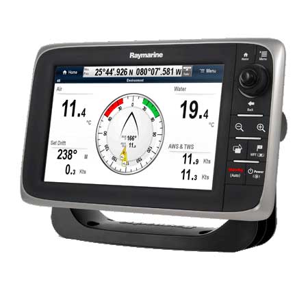
Swipe, Touch and Navigate - very simple. Powered by Raymarine's intuitive LightHouse user interface.
Super Bright LED Technology - sunlight viewable optically bonded display
Super-fast dual core processor plus a powerful graphics processor
Easy to use and learn with a simple start up wizard and on-screen user's guide
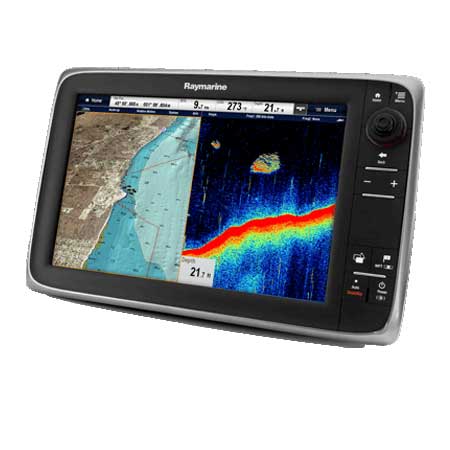
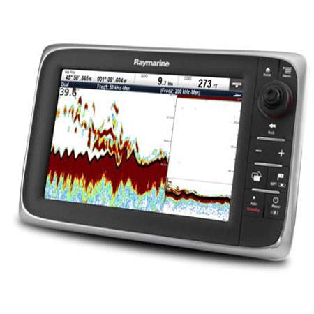
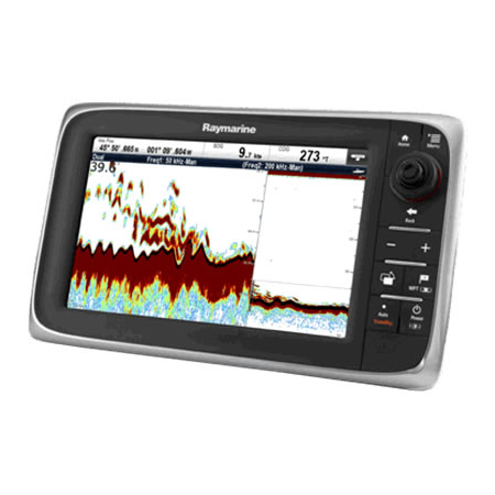
Radar, Chartplotter, Fuel Management
50 Channel internal GPS sensor.
Includes NOAA Vector Charts
Step up to 3D and aerial photo chart navigation using Navionics Platinum+ charts on microSD. Also compatible with Navionics Gold and HotMaps charts.
Powerful waypoint management tools. Search waypoints and route plans with a few simple touches
Fuel manager using available engine fuel data to monitor fuel consumption and time-to-empty calculations. Also provides fuel range rings overlaid on navigation chart.*
Digital, HD Color or Super HD Color Radar scanner required for radar functionality.*Subject to engine compatibility.
Networking
Fast Raynet Ethernet (SeaTalkhs compatible) port for networking with up to 5 additional Raymarine MFDs.
Network support for raymarine Digital radar, HD Color and SHD Color radar, AIS350/Ais650, and ClearPulse CHIRP sonar modules.
NMEA2000 and SeaTalkng connectivity.
a-Series Audio: Ready to Rock!
Fusion Marine Stereo home screen access. Full control of the Fusion 700 Series.
Optional SiriusXM Satellite Radio and Marine Weather using the optional SR6 receiver.
Connect with your Smartphone and control your MP3 music remotely using Bluetooth wireless networking.
LightHouse User Interface Shows You The Way
Designed for the way boaters think, Raymarine's exclusive LightHouse User Interface (UI), offers an incredibly easy-to-use navigation experience. LightHouse intuitively places frequently used navigation functions right at your fingertips. With LightHouse you will quickly become an expert, thanks to an easy-to-use home screen of all your new a Series applications and custom navigation pages.
Just swipe the home screen left or right for immediate access to the entire library of new a Series capabilities.
Specifications
Basemap YesCard Format Micro SD
Cartography - Preloaded No
Cartography Brand Navionics
Cartography Type Hotmaps/Silver/Gold/Platinum+
Internal/External Antenna Internal
Resolution (VxH) 640 x 480
Screen Size 5.7"
Screen Type Color
Touchscreen Yes
Voltage - Input Range (Volts) 10.2-15.6V DC
Waterproof Rating Waterproof
Waypoints/Routes 5000/200
Weather Capable Yes
Box Dimensions 6"H x 9"W x 10"L
Item number: E70162-LNC
UPC: 723193788332
Package weight: 2.9 lb
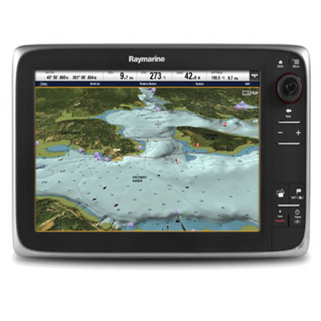
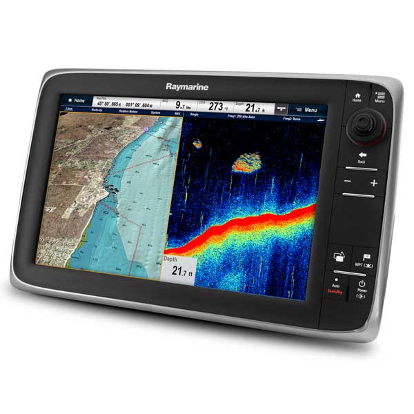
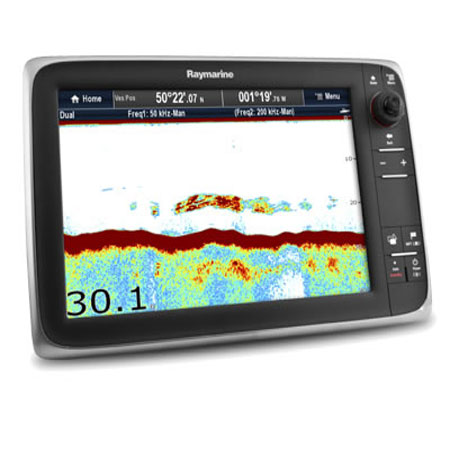
Other Products in the Series: