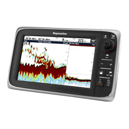
RAYMARINE A78 Wi-Fi 7 MFD w/CHIRP Downvison, ClearPulse, CPT-100 US Lakes, Coastal Chart by C-MAP
Item: T70203-US
This item is brand new
$850.95
Backorder, ships in 3 - 4 weeks
|cw|sw


This item is brand new
$850.95
Backorder, ships in 3 - 4 weeks
|cw|sw
Autopilots


Mounts


Marine Networking


E70161
SR150 SiriusXM Weather Receiver
SR150 SiriusXM Weather Receiver
No Longer Available
Radars

T70176
12KW 48 inch Super HD Color Digital Open Array with 15M cable
12KW 48 inch Super HD Color Digital Open Array with 15M cable
No Longer Available

T70170
4KW 48 inch HD Color Digital Open Array with 15M cable
4KW 48 inch HD Color Digital Open Array with 15M cable
No Longer Available


T70172
4KW 48inch SHD Open Array w/RayNet Cable
4KW 48inch SHD Open Array w/RayNet Cable
No Longer Available

Various


Compatible maps
Suggested Maps and Software:
 | Navionics Marine Charts |
C-Map 4D Charts |
Contents of the package
Features
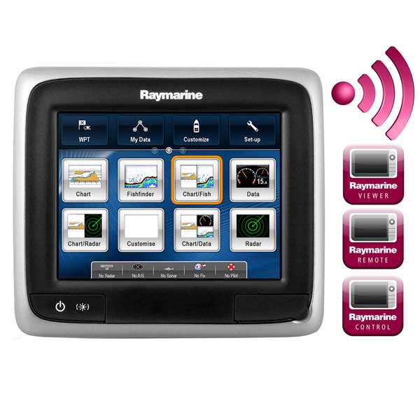
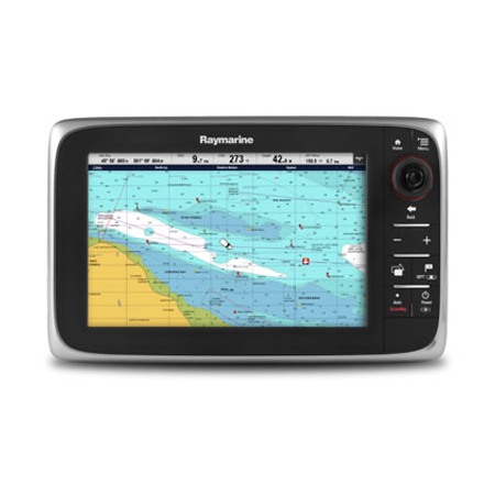
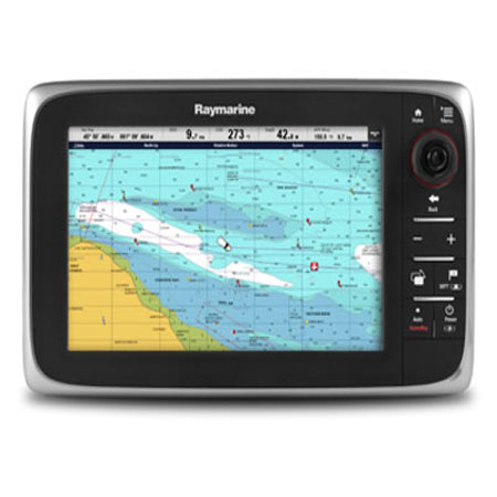
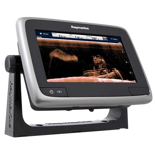
a78 Wi-Fi 7" MFD Touchscreen w/CHIRP DownVision, ClearPulse & CPT-100 - US Lakes & Coastal Chart by C-MAP
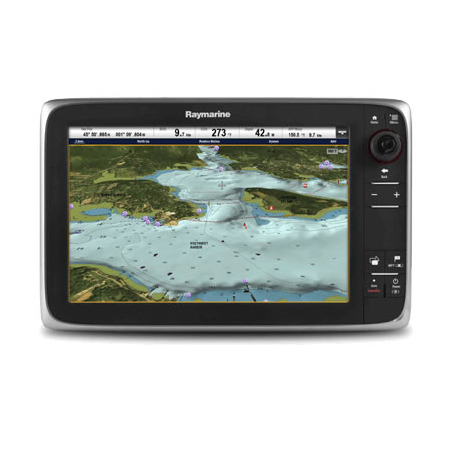
Raymarine's a78 Wi-Fi is a full-featured multifunction display with CHIRP DownVision Sonar technology built in. The a78 Wi-Fi also features standard wireless networking so you can see and control the a78 from your Smartphone and Tablet using Raymarine mobile apps.
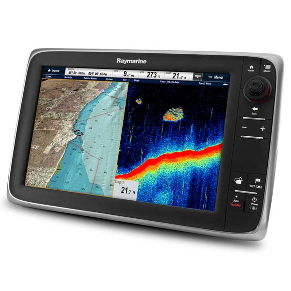
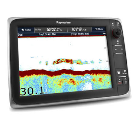
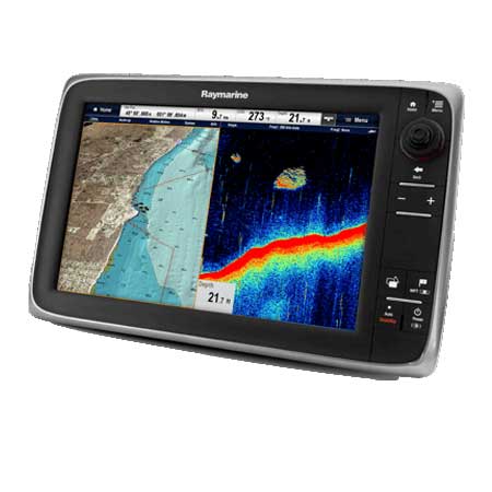
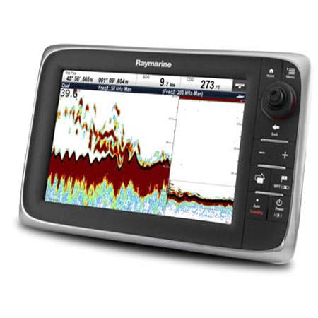
The dual channel sonar in the a78 Wi-Fi lets you see fish and bottom structure like never before, it's like having two sonars in one! The a78 Wi-Fi's CHIRP DownVision channel delivers stunning images of underwater structure, fish, wrecks and more with photo-like clarity. The a78 Wi-Fi also features a CHIRP fish targeting channel for easy identification of baitfish and predators.
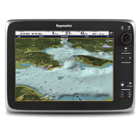
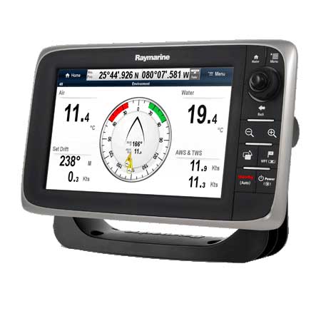
Swipe, touch and navigate - the a78 is powered by Raymarine's intuitive LightHouse User Interface
Super fast, dual core processor plus a dedicated graphics processor
Built-in Wi-Fi wireless networking
Control your a78 from popular Smartphones or Tablets
Dual Channel sonar with both CHIRP DownVision and CHIRP Fish Targeting sonar imagery to depths of 600 feet
Super-bright 7", optically bonded touchscreen with LED backlighting
Built-in 50-channel GPS receiver
Includes US Lakes and Coastal (-US) chart bundle provides over 12,900
US Lakes with over 1,900 high-definition lake. Coastal navigation data
includes all critical navigation aids and chart objects, plus spot soundings
and contours out to 60 feet or 20 meters
US Lakes and Coastal Cruising data provided by Jeppesen is a subset of
C-MAP MAX. Coastal data does not include Tides and Currents or C-Marina
port database. The high-definition lakes data delivers 3 foot contour
intervals or better
Compatible with Navionics Silver, Gold, Platinum or HotMaps Charts and C-Map 4d on MicroSD
RayNet (Ethernet) port for radar, weather and networking with Raymarine MFDs
FUSION Audio integration - Full of control for FUSION 700 series marine stereos
SiriusXM weather and satellite radio compatible using optional SR150 receiver
NMEA2000 compatible SeaTalkng port for engine, instruments and Raymarine autopilot integration
Monitor your fuel consumption with on screen fuel range overlays and fuel manager
Video-over-IP support for networked cameras with video playback and record
Built-in Bluetooth wireless connection for optional media playback or remote control
CPT-100 transom mount transducer with temperature sensor included
Bracket and console mounting hardware included
Specifications
Weather Capable YesWaypoints/Routes 5000/200
Waterproof Rating Waterproof
Transducer Type Transom Mount
Touchscreen Yes
Speed/Temp Temp Only
Screen Type Color
Screen Size 7"
Resolution (VxH) 840 x 480
Internal/External Antenna Internal
Included Transducer CPT-100
Cartography Type C-Map 4D
Cartography Brand C-Map
Cartography - Preloaded No
Card Format Micro SD
Basemap Yes
Box Dimensions 7"H x 12"W x 15"L
Item number: T70203-US
UPC: 723193794272
Package weight: 8.4 lb
Other Products in the Series: