SI-TEX Explorer Plus Without GPS Antenna
Item: EXPLORER-PLUS
This item is brand new
$597.95
This item ships within 3 days


This item is brand new
$597.95
This item ships within 3 days
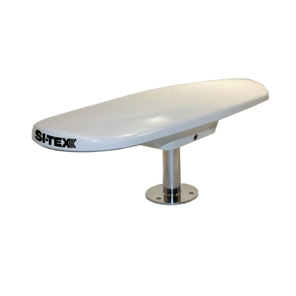
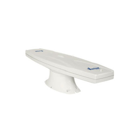
Antennas

Compatible maps
Suggested Maps and Software:
MAX Charts C-Card | |
NT+ on C-card |
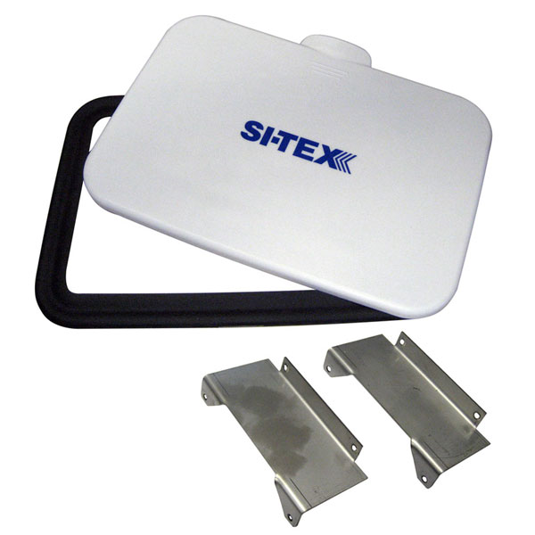
Contents of the package
Features
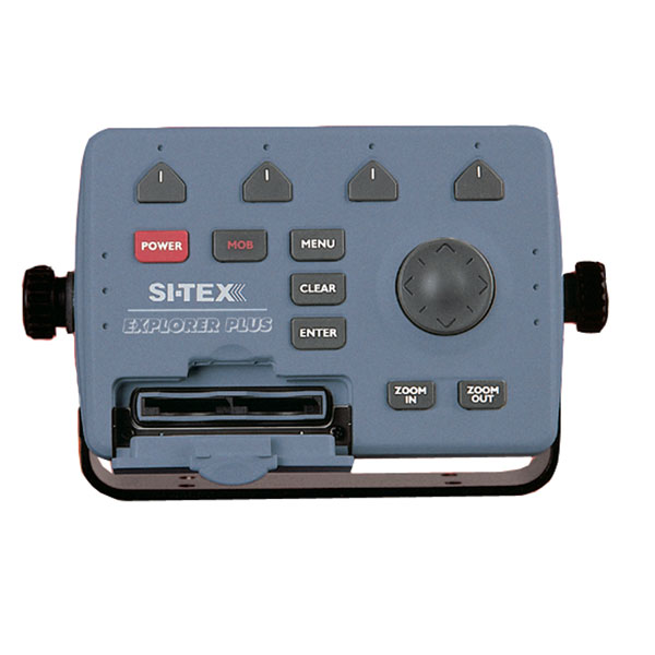
EXPLORER PLUSExplorer Plus w/o GPS Antenna Electronic Charting System Control Unit
The EXPLORER PLUS turns almost any "off the shelf" PC monitor into a full-featured C-MAP electronic charting system. Couple this unique product to an existing onboard monitor or add just about any size CRT or flat panel display for a very convenient two piece charting system with unlimited mounting possibilities.
Compact controller unit connects to most standard monitor with VGA input.
Straightforward logic and soft key operating system offers uncanny ease of operation.
Waterproof trackpad provides smooth cursor transitions to plot, scroll, pan and make menu selections.
Compatible with the new C-MAP MAX charts, technically the most innovative C-MAP charts ever designed.
Dual slot C-MAP MAX/NT+ cartridge doubles the charting capability.
A unique programmable anti-grounding feature using Guardian Grounding Alarm* provides alarms if your current course takes you within danger of shoals, obstacles or other areas where the water is too shallow for your vessel's draft. This feature helps provide an added level of security for all boaters.
Expands to an all-in-one GPS Charting System/Fishfinder/Radar with optional ES502 Fishfinder Module and optional 2kW to 4kW MDS Radar Sensors.
Displays tidal data and port service information for selective areas worldwide from local C-Card.
Up to 1000 Waypoints, Mark or Events and 5000 points per track.
Control unit can be mounted up to 6 feet away from display unit, multiplying the mounting options on any vessel.
Position displayed when connected to GPS. Perfect for use with the optional SI-TEX GPK-11 model sensor.
In addition to charting information, EXPLORER PLUS numerically indicates speed, course, distance, arrival time, STG, temp and depth when interfaced with proper sensors.
Charting is displayed in North-up or Course-up modes with GPS input.
Controller unit is designed to be either tabletop, bulkhead or flush mounted.
Special trunion bracket and mounting knobs are provided for easy installation and removal.
NMEA-0183 data port for interfacing with other onboard electronics.
Optional memory cards provide unlimited track and waypoint storage capability.
Guardian Grounding Alarm*
Feature continuously scans the electronic chart data in front of the boat to detect charted rocks, shoals, obstructions and areas that could pose a threat if the vessel were to continue along its current course. The area searched is user-definable and is identified by a triangle on the screen. Triggering timely and clear alarms.
Specifications
Cartography Brand C-Map
Cartography Type NT+
Screen Size N/A
Box Dimensions 6"H x 8"W x 11"L
Warranty 2 Years
Item number: EXPLORER-PLUS
UPC: 010407100791
Package weight: 3 lb
Other Products in the Series: