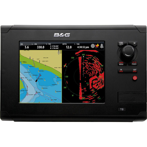
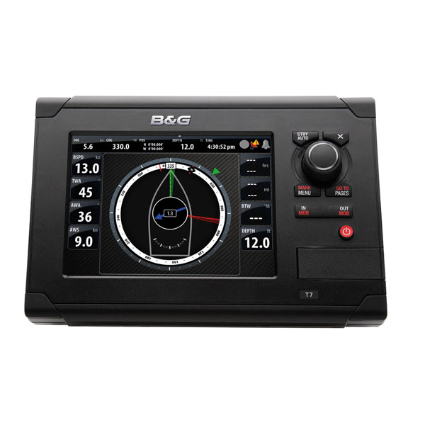
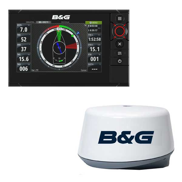
B&G Mfd/sonar, zeus3, 7 inch, insight charts
This item is brand new
$1,399.00
Request price match
This item ships within 1 day
wi|cw|sw|wi


Suggested Maps and Software:
 | Navionics Marine Charts |
 | C-Map Charts |
 | Cmor maps |
Contents of the package
Features
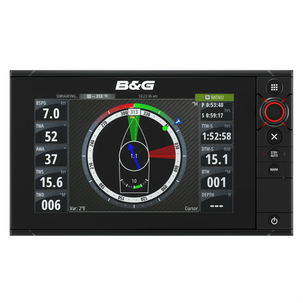
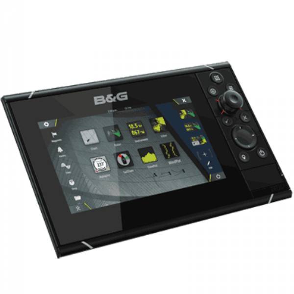
B&G Zeus-3 Multi-function Display with Insight Cartography
7" Multi-Touch Display with Keypad Control and Built-in Depthsounder
This high-performance multifunction display features widescreen display, incorporating SolarMAX HD technology for brilliant daytime visibility and ultra-wide viewing angles. To ensure reliable control in all conditions and situations, Zeus³ combines an all-weather touchscreen with a rotary dial and keypad capable of controlling all display functions. Both sets of controls can be used simultaneously, or Zeus³ can be switched to non-touch mode for dependable operation under the most extreme conditions.
Built-in Wi-Fi lets you access GoFree® online services to download charts, weather information, and software updates direct to your display via any Wi-Fi internet hotspot. GoFree® Wi-Fi also lets you mirror your Zeus³ screen on a compatible smartphone, and control your Zeus³ display from a compatible tablet, for an extra display that you can use anywhere on board.
Built-in ForwardScan sonar support offers safer passage through shallow and poorly-charted waters; just add a ForwardScan transducer for a clear on-screen view of the depth ahead. Zeus³ displays also offer plug-and-play support for Broadband Radar and AIS solutions, enhancing your situational awareness with tools like MARPA target tracking and AIS overlay in crowded harbors and during races and regattas. Complete autopilot integration means short-handed and single-handed sailors can take immediate control of their B&G autopilot system from any B&G Zeus³ display on board.
Specifications
Item number: 000-13241-001
UPC: 9420024154113
Package weight: 7.8 lb
Other Products in the Series: