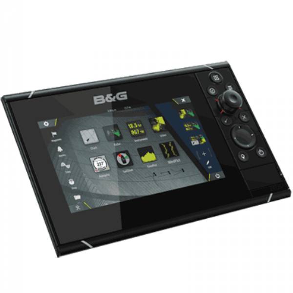
B&G Zeus Touch 8 MFD USA
This item is brand new
$1,399.00
This item ships within 1 day


Triton System Pilot Controller

Triton Pilot add-on System, High Current

3G Broadband Radar Kit

4G Broadband Radar Kit for Zeus

Suggested Maps and Software:
 | Navionics Marine Charts |
 | C-Map Charts |
 | Cmor maps |
Contents of the package
Features
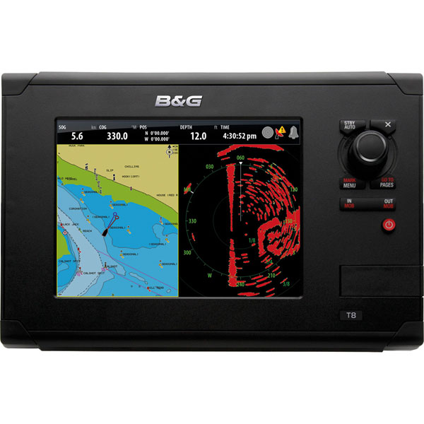
Zeus Touch 8 MFDThe ultimate in easy to use sailing navigation systems and the industry's only sailing specific, touchscreen chartplotter.
An 8-inch touch screen offers outstanding sail specific navigation features with an intuitive touch-led interface. The SailSteer sail navigation screen shows Heading and COG, Current Layline, Calculated Tide, True Wind Angle indicator, Rudder Angle Indicator and Opposite Tack Layline to name but a few features.
Enhanced SailTime calculations, removes reliance on ETA and provides a maximised view of tacking angles on the chart, even without an active waypoint. Zeus Touch offers easy to use system integration.
Touchscreen
Touch to mark waypoints and easily build routes
Tap, touch, drag, drop and swipe functionality for fingertip control
Easy selection of Chart, Radar, Pilot, SailSteer and WindPlot screens
Rotary Controller
Straightforward menu control, with push-to-enter function
Intuitive use for zooming, radar gain and more
Minimalist keypad
Combined with the rotary controller, this enables full control of all features without having to touch the screen - ideal for situations outside of the harbor
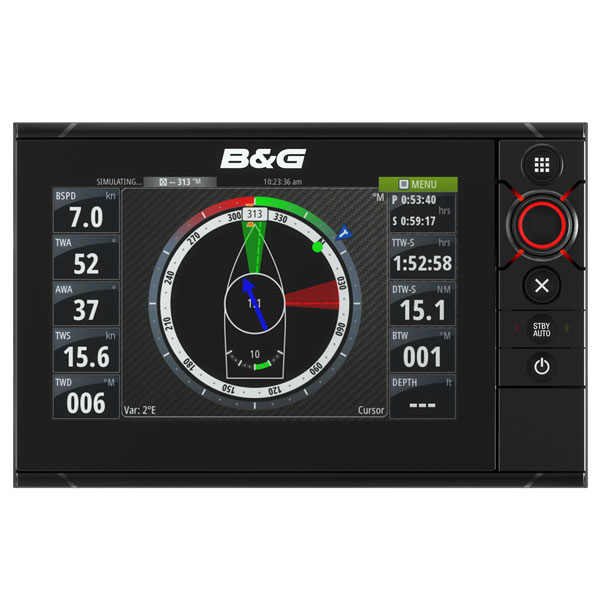
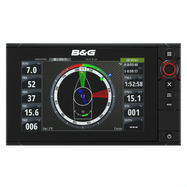
SailSteer
The SailSteer screen combines key sailing data such as Heading, Wind, Laylines and Tide into one clear, easy to read display. Advanced features include Wind Angle Target indicator and Wind Shift Sectors.
Enhanced Sail Navigation
The most important sailing data is overlaid onto the chart screen, enabling an assessment of the realistic route to be sailed.Navigation data is calculated via laylines, rather than a simple straight-line waypoint to waypoint route, which is rarely followed by sailors.
8-inch display
Easy to use touchscreen interface
Bright LED backlit display
GoFree wireless compatible
WindPlot, for tracking weather trends
GRIB weather overlay & Sirius weather (U.S.)
Premium regional cartography
Broadband Radar compatible
Composite video input
Internal GPS
SailSteer
Optically Bonded LCD
SailTime calculations
Touch Sensible technology
Ultimate integration
Easy to use
B&G Precision
Specifications
Basemap YesCard Format Micro SD
Cartography Brand Navionics
Cartography Type Platinum/Gold/Hotmaps
Resolution (VxH) 800 x 600
Screen Size 8"
Touchscreen Yes
Box Dimensions 9"H x 11"W x 15"L
Item number: 000-10887-001
UPC: 9420024120583
Package weight: 14.5 lb
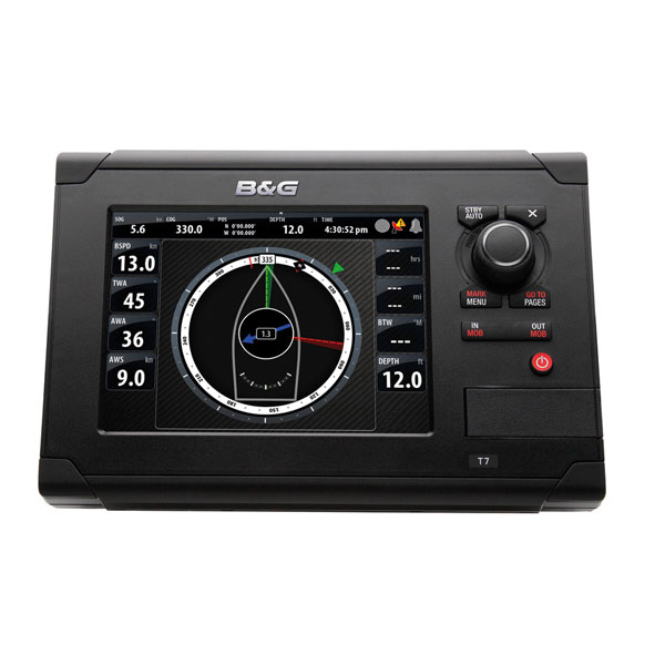
Other Products in the Series: