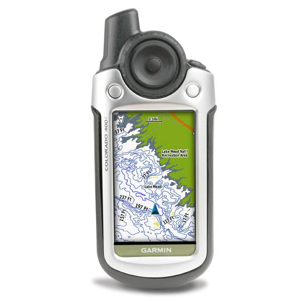
GARMIN Colorado 400c


Speed/Cadence bike sensor (GSC 10)
Heart rate monitor

Premium Heart rate monitor Soft Strap


HRM-Pro Heart Rate Monitor with Bluetooth and Running Dynamics

HRM-Pro Plus Heart Rate Monitor


Cup Holder Universal Mount RAM-A-CAN II with 6 in Flex Arm


Chirp Wireless geocaching beacon

BirdsEye Satellite Imagery Retail Card
BirdsEye Satellite Imagery US and Canada
Suggested Maps and Software:
 | Inland Lakes |
 | BlueChart g2, g3 on micro SD card with adapter |
 | Garmin Street Maps and City Navigation |
 | Garmin Topographic Maps |
 | Garmin Extras |
Contents of the package
Features
Preloaded with BlueChart g2 coastal charts, Colorado 400c is made with the saltwater mariner in mind. Packed with features, it includes a high-sensitivity receiver, barometric altimeter, electronic compass, SD card slot, color display, picture viewer and more. Even exchange tracks, waypoints, routes and geocaches wirelessly between similar units. Colorado comes with built-in BlueChart® g2 coastal charts and a worldwide basemap. Map detail includes includes shorelines, depth contours, navaids, harbors, marinas, port plans coastal roads for the U.S. and Bahamas.
Wireless
With Colorado 400c you can share your waypoints, tracks, routes and geocaches wirelessly with other Colorado users. Now you can send your favorite hike to your friend to enjoy or the location of a cache to find.
Geocaching
Colorado features a Rock n Roller input wheel for easy one-handed operation and supports Geocaching.com GPX files for downloading geocaches and detail straight to your unit. Customize Colorado's interface based on your favorite activity. Even show off photos of your excursions with its picture viewer. Colorado is lightweight and waterproof.
WAAS
With its high-sensitivity, WAAS-enabled GPS receiver, Colorado 400c locates your position quickly and precisely and maintains its GPS location even in heavy cover and deep canyons.
Get Your Bearings
Colorado 400c has a built-in electronic compass that provides bearing information even while you're standing still, and its barometric altimeter tracks changes in pressure to pinpoint your precise altitude. You can even use the altimeter to plot barometric pressure over time, which can help you keep an eye on changing weather conditions.
Just insert a MapSource SD card with detailed street maps, and Colorado provides turn-by-turn directions to your destination. Add detailed trail information by purchasing additional TOPO maps for national parks and more. The card slot is located inside the waterproof battery compartment, so you don't have to worry about getting it wet.


Specifications
Physical & Performance:
Unit dimensions, WxHxD: 2.4" x 5.5" x 1.4" (6.0 x 13.9 x 3.5 cm)
Display size, WxH: 1.53"W x 2.55"H (3.8 x 6.3 cm); 3" diag (7.6 cm)
Display resolution, WxH: 240 x 400 pixels
Display type: Transflective color TFT
Weight: 7.3 oz (206.9 g) with batteries
Battery: 2 AA batteries (not included); NiMH or Lithium recommended
Battery life: 15 hours
Waterproof: yes (IPX7)
Floats: no
High-sensitivity receiver: yes
Interface: USB and NMEA 0183 compatible
RoHS version available: yes
Maps & Memory:
Basemap: yes
Preloaded maps: yes (BlueChart® g2 with limited capability)
Ability to add maps: yes
Built-in memory: yes
Accepts data cards: SD card (not included)
Waypoints/favorites/locations: 1000
Routes: 50
Track log: 10,000 points, 20 saved tracks
Features:
Automatic routing (turn by turn routing on roads): yes (with optional mapping for detailed roads)
Electronic compass: yes
Touchscreen: no
Barometric altimeter: yes
Geocaching-friendly: yes (paperless)
Outdoor GPS games: yes
Hunt/fish calendar: yes
Sun and moon information: yes
Tide tables: yes
Area calculation: yes
Custom POIs (ability to add additional points of interest): yes
Unit-to-unit transfer (shares data wirelessly with similar units): yes
Picture viewer: yes
Item number: 010-00622-61
UPC: -
Package weight: 2 lb
Following reviews were written by actual customers.
Every GPS4US customer has a chance to live a feedback after receiving a product.
 by Scott K, , 3/26/2011
I have a small sailboat and this unit is just what I need.
Other Products in the Series:
| GARMIN Colorado 300 | Add to comparison |
| GARMIN Colorado 300 NOH | |
| GARMIN Colorado 400c | Add to comparison |
| GARMIN Colorado 400i NOH | |
| GARMIN Colorado 400i | Add to comparison |
| GARMIN Colorado 400t | Add to comparison |
| GARMIN Colorado 400t NOH |