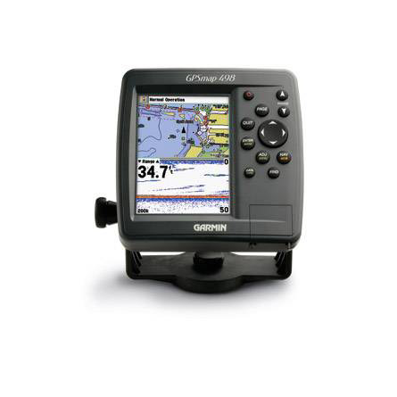
GARMIN GPSMAP 498 with transducer External antenna
This item is brand new
$414.95
This item ships within 9 days


GA 26C low-profile remote automobile antenna

Vehicle power cable

20 ft. Extension cable for transducers, with ID 6-pin

10 ft. Extension cable for transducers, ID


16 MB data card, RoHS

32 MB data card, RoHS

64 MB data card, RoHS

128 MB data card, RoHS

256 MB data card, RoHS

512 MB data card, RoHS


Speed Sensor


B744V-6G DTS 50 200 khz 600 w Bronze Thru Hull Transducer


B260-6BR 1KW 200/50KHz 6/19deg bronze Transducer

B45-DT-6G Thru-Hull 50/200 kHz Bronz Narrow Stem 6pin Transducer


USB 2.0 data card programmer, RoHS
Suggested Maps and Software:
 | BlueChart g2 on Datacard |
 | BlueChart on Garmin Datacard |
 | Garmin Extras |
 | nuMaps Updates |
Contents of the package
Features
With a powerful built-in sounder and preloaded coastal maps for the U.S., the 498C is ready to handle any offshore fishing adventure.
Chart Your Course
This rugged, waterproof chartplotter comes preloaded with BlueChart® g2 data for the U.S. coast, including Alaska and Hawaii. This detailed map data includes 3D maps, tide and current data, improved IALA symbols, navaids, marinas, boat ramps, coastal roads and more. There's even a database of aerial photos, detailed roads and points of interest that you can reference for "real picture" views of harbors and marinas. The 498 can also accept preloaded data cards for additional map coverage.
Catch Some Fish
The 498 comes with a built-in 500-watt (RMS) sounder with enough power to track fish deep underwater, yet precise enough to perform well in shallow water as well. The sounder features Ultrascroll for high-speed screen updates and can show both the sonar and map on the screen at the same time. And, it can even connect to another chartplotter with Garmin's proprietary CANet® connection.
Choosing Right Transducer
Please refer to the Transducer Selection Guide for detailed transducer specifications and help with transducer selection.


Specifications
Physical & Performance:
Unit dimensions, WxHxD: 6.3" x 6.2" x 3.2" (16.0 x 15.7 x 8.3 cm)
Display size, WxH: 3.0" x 4.0", 5.0" diagonal (7.6 x 10.2 cm, 12.7 cm diagonal)
Display resolution, WxH: 234 x 320 pixels
Display type: 256-color TFT
Weight: less than 2.0 lb (908 g)
Waterproof: yes (IPX7)
RoHS version available: no
Maps & Memory:
Basemap: yes
Preloaded street maps: yes
Ability to add maps: yes
Accepts data cards: Garmin data cards
Waypoints/favorites/locations: 3,000
Routes: 50
Features:
CANet® compatible: yes
Supports AIS (tracks target ships' position): yes
Supports DSC (displays position data from DSC capable VHF radio): yes
Audible alarms: yes
Tide tables: yes
Sun and moon information: yes
3-D map view: yes (with optional BlueChart g2 maps)
Dual-frequency sonar capable: yes
Dual-beam sonar capable : yes
Split-screen zoom: yes
Split-screen sonar/gps: yes
Ultrascroll (displays fish targets at higher boat speeds): yes
See-thru® technology (exposes fish hidden in cover): yes
Fish Symbol ID (helps identify fish targets): yes
AutoGain Technology (minimizes clutter, maximizes targets): yes
Whiteline (indicates hard or soft bottom): yes
Adjustable depth line (measures depth of underwater objects): yes
A-scope (real time display of fish passing through transducer beam): yes
Bottom lock (shows return from the bottom up): yes
Water temperature log and graph: yes
Water temperature sensor included: no
Other:
Frequency: 50/200 kHz
Transmit power: 500 W (RMS), 4000 W (peak to peak)
Voltage range: 10-33
Maximum depth: 1500 ft
Cone angle: 10 or 40 degrees
Item number: 010-00504-03
UPC: 753759062347
Package weight: 7 lb
Other Products in the Series:
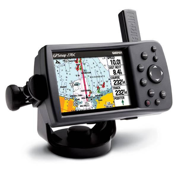 | GARMIN Gpsmap 276C | Add to comparison |
 | GARMIN GPSMAP 276C Plus NOH | |
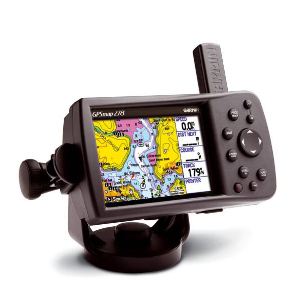 | GARMIN Gpsmap 278 | Add to comparison |
 | GARMIN Gpsmap 296 | |
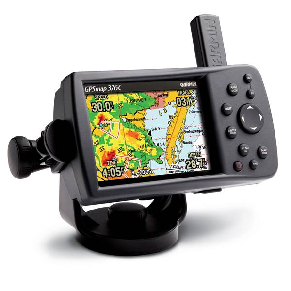 | GARMIN Gpsmap 376C | Add to comparison |
 | GARMIN Gpsmap 376C NOH | |
 | GARMIN Gpsmap 378 NOH | |
 | GARMIN Gpsmap 378 | Add to comparison |
 | GARMIN Gpsmap 396 | |
 | GARMIN Gpsmap 478 | Add to comparison |
 | GARMIN Gpsmap 478 NOH | |
 | GARMIN Gpsmap 495 | |
 | GARMIN Gpsmap 496 |