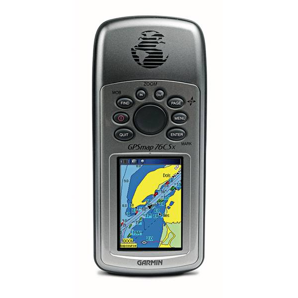
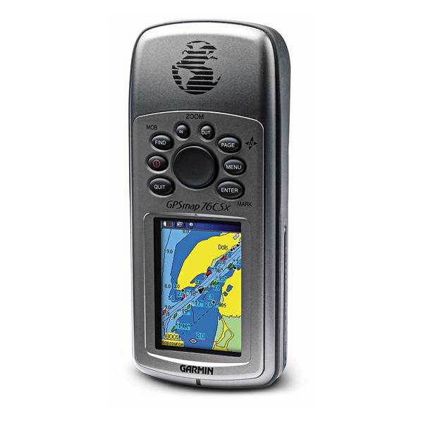
GARMIN GPSMAP 76CSx


AC adapter, USA, 4 Pin

GA 30 GPS antenna (GA 29 replacement)
GA 27C low-profile remote automobile antenna

GA 25MCX low profile remote GPS antenna


USB to RS232 converter cable


PC interface cable (RS232 serial port connector)


Power/data cable (bare wires)


Cup Holder Universal Mount RAM-A-CAN II with 6 in Flex Arm


Lanyard 17 inch

Lanyard Carabiner
Suggested Maps and Software:
 | Inland Lakes |
 | BlueChart g2, g3 on micro SD card with adapter |
 | Garmin Street Maps and City Navigation |
 | Garmin Topographic Maps |
Contents of the package
Features
GPSMAP 76CSx features a high-sensitivity GPS receiver, barometric altimeter and electronic compass, microSD card slot, color TFT screen and turn-by-turn routing.
GPSMAP 76CSx's high-sensitivity GPS receiver acquires satellite signals quickly and tracks your location in challenging conditions. You can use the built-in electronic compass to view bearing information even while you're standing still, and the barometric altimeter tracks changes in pressure to pinpoint your precise altitude. You can even use the altimeter to plot barometric or ambient pressure over time, which can help you keep an eye on changing weather conditions. The 76CSx's bright, color TFT display makes it easy to distinguish details on the screen in any kind of lighting. And, like the rest of the 76-series, 76CSx is IPX7 waterproof and floats in water.
For extra data 76CSx has microSD card slot that is located inside the waterproof battery compartment, so you don't have to worry about getting it wet. When navigating on the road, the 76CSx provides turn-by-turn directions to your destination. It also accepts optional preloaded microSD cards with MapSource® data for your off-road or marine excursions.


Specifications
Installed languages: English,
Spanish, French, Portugues.
More languages may be available through Garmin web updater.
Physical & Performance:
Unit dimensions, WxHxD: 2.7" x 6.2" x 1.2" (6.9 x 15.7 x 3.0 cm)
Display size, WxH: 1.6" x 2.2" (4.1 x 5.6 cm)
Display resolution, WxH: 160 x 240 pixels
Display type: 256 color transflective TFT
Weight: 7.7 oz (218 g) with batteries
Battery: 2 AA batteries (not included)
Battery life: 18 hours, typical
Waterproof: yes (IPX7)
Floats: yes
High-sensitivity receiver: yes
Interface: serial and USB
RoHS version available: yes
Maps & Memory:
Basemap: yes
Preloaded maps: no
Ability to add maps: yes
Built-in memory: none (cannot load maps to internal memory)
Accepts data cards: 128 microSD card (included)
Waypoints/favorites/locations: 1000
Routes: 50
Track log: 10,000 points; 20 saved tracks
Features:
Automatic routing (turn by turn routing on roads): yes
Electronic compass: yes
Touchscreen: no
Barometric altimeter: yes
Geocaching-friendly: yes
Outdoor GPS games: yes
Hunt/fish calendar: yes
Sun and moon information: yes
Tide tables: yes
Area calculation: yes
Custom POIs (ability to add additional points of interest): yes
Unit-to-unit transfer (shares data wirelessly with similar units): no
Picture viewer: no
Item number: 010-00469-00
UPC: -
Package weight: 2 lb
Following reviews were written by actual customers.
Every GPS4US customer has a chance to live a feedback after receiving a product.
 by Cesar F Arriaga G, , 9/21/2012
excellent
Other Products in the Series:
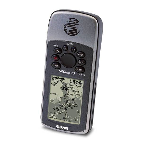 | GARMIN Gpsmap 76 | Add to comparison |
 | GARMIN Gpsmap 76 NOH | |
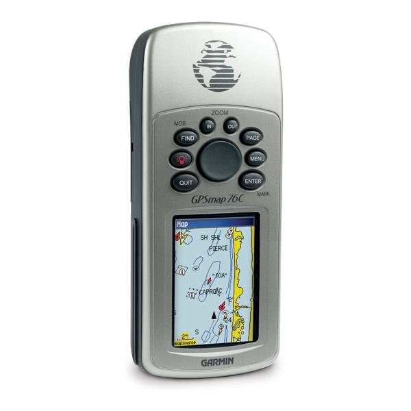 | GARMIN Gpsmap 76C | Add to comparison |
| GARMIN Gpsmap 76Cs NOH | |
| GARMIN Gpsmap 76Cs | Add to comparison |
| GARMIN GPSMAP 76CSx | Add to comparison |
| GARMIN GPSMAP 76Cx | Add to comparison |
| GARMIN GPSMAP 76Cx NOH | |
| GARMIN Gpsmap 76S | Add to comparison |