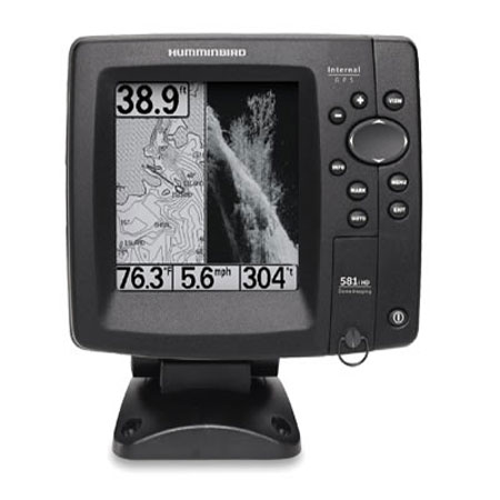
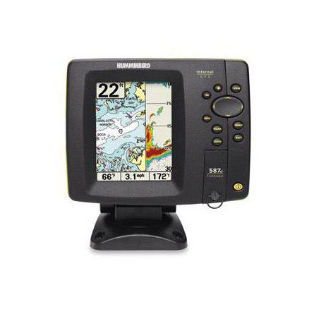
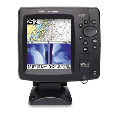
HUMMINBIRD 598ci HD SI Combo 5 inch color
Item: 408950-1
This item is brand new
$1,349.95
This item ships within 8 days


This item is brand new
$1,349.95
This item ships within 8 days
Cables

720003-1
EC W10 Transducer Ext. Cable, 7 pin, 10 ft
EC W10 Transducer Ext. Cable, 7 pin, 10 ft
No Longer Available


720003-2
EC-W30 30 ft Transducer Extension cable
EC-W30 30 ft Transducer Extension cable
No Longer Available
Mounts


Marine Networking

720002-1
PC10 Power Cable
PC10 Power Cable
No Longer Available
Sensors and Boards


Transducers Humminbird


Compatible maps
Suggested Maps and Software:
 | Navionics Marine Charts |
Contents of the package
In the box:
- 598ci HD SI
- Transom mount transducer
- Mounting bracket
- Installation hardware
- Owner's manual
Features
Humminbird 598ci HD SI ComboWith 5" Color LCD, Internal GPS/Chartplotter, and Side-Imaging Sonar
The 598ci HD SI Combo features a Best-in-Class brilliant 640V x 640H, 256 color display with LED backlight. Side Imaging® and Down Imaging® sonar with 500 watts RMS power output, Precision Internal GPS Chartplotting with built-in UniMap cartography with a card slot for optional maps and saving waypoints along with a Tilt & Swivel Quick Disconnect mounting system. The design also allows for drop-in replacement capability for competitive in-dash models.
Advanced Sonar Features:
- Freeze Frame with ability to Mark Structure on Sonar
- Real Time Sonar RTS Window
- Selective Fish ID
- Sonar Echo Enhancement
- Split Screen Zoom
- Custom Digital Readout Selection
- Custom View Selections
- Large Digits View
- Quick Disconnect Mounting System
- Selectable Background Color
- Triplog
- X Press Menu System
Specifications
Display5" diag. color LCD
Resolution
640 x 640 Pixels
Dimensions
7"W x 7"H x 4"D
Mapping
Built-in Unimap , optional Navionics Gold/HotMaps,LakeMaster
Waypoints/Routes
2,750 waypoints, 50 routes, 20,000 trackpoionts, 50 saved tracks
Antenna
Internal GPS antenna included
Frequency
83/200 KHz Dual Beam sonar, 455 KHz Down/Side Imaging sonar
Power
300 Watts
Traqnsduser
Transom mount transduser included
Other Functions
None
Interface
Ethernet; NMEA 0183 in/out
Warranty
One Year
Item number: 408950-1
UPC: 082324038129
Package weight: 4 lb
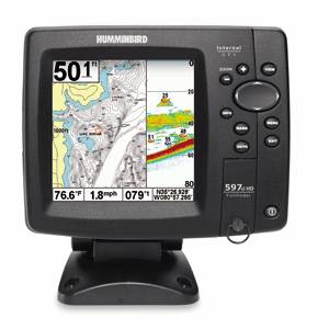
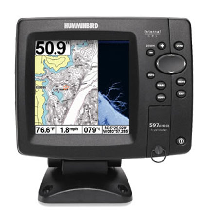
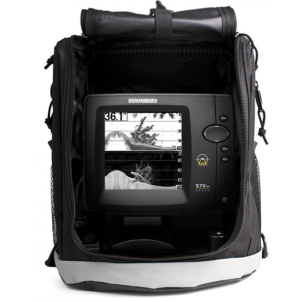
Other Products in the Series: