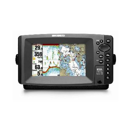
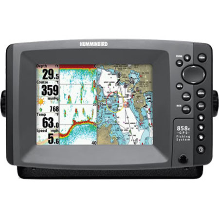
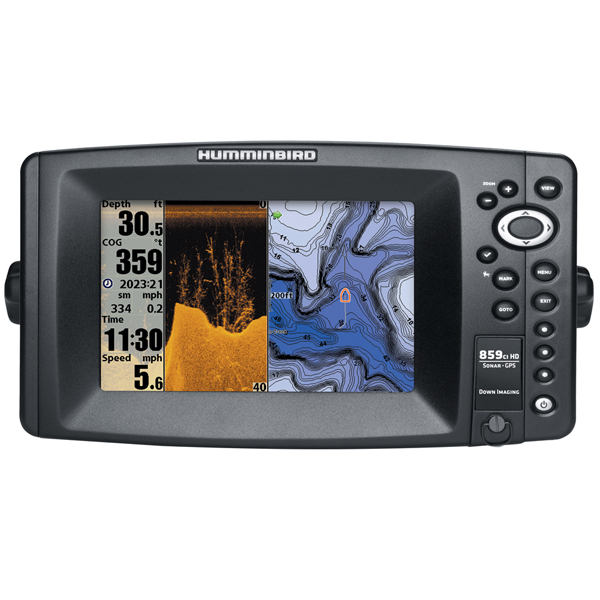
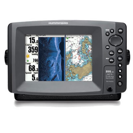
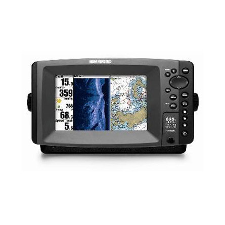
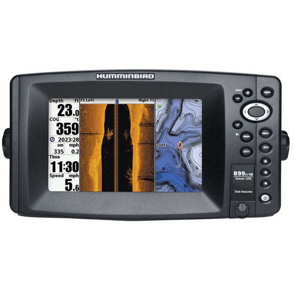
HUMMINBIRD 859ci HD XD 7 inch Combo, XD 50/83KHz
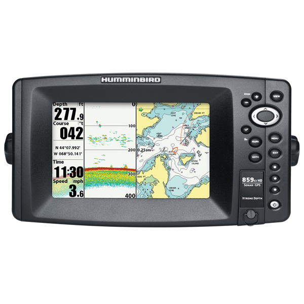
Item: 409130-1
This item is brand new
$675.95
This item ships within 3 days


This item is brand new
$675.95
This item ships within 3 days
Antennas

Cables

720003-1
EC W10 Transducer Ext. Cable, 7 pin, 10 ft
EC W10 Transducer Ext. Cable, 7 pin, 10 ft
No Longer Available


720003-2
EC-W30 30 ft Transducer Extension cable
EC-W30 30 ft Transducer Extension cable
No Longer Available
Mounts


RAM Mounts

Marine Networking


Sensors and Boards

Transducers Humminbird

408310-1
AS 360SSI Transducer
AS 360SSI Transducer
No Longer Available


710167-1
XTH 9 20 P Depth transducer
XTH 9 20 P Depth transducer
No Longer Available


710214-1
XNT 9 20 Depth Transducer, MFG 710214-1, 83 200KHz, 6020 beam angle
XNT 9 20 Depth Transducer, MFG 710214-1, 83 200KHz, 6020 beam angle
No Longer Available


710243-1
XPTH 9 DI T Plastic Thru-Hull ducer, MFG 710243-1, Down Imaging DualBeam PLUS, 75 45, 455 800 kHz
XPTH 9 DI T Plastic Thru-Hull ducer, MFG 710243-1, Down Imaging DualBeam PLUS, 75 45, 455 800 kHz
No Longer Available


B45-HB
B45-HB Thru-Hull 50/200 kHz Bronz Narrow 9 Transducer Humminbird
B45-HB Thru-Hull 50/200 kHz Bronz Narrow 9 Transducer Humminbird
No Longer Available

710225-1
XIH 9 DI T Down Imaging In-Hull Transducer, MFG 710225-1
XIH 9 DI T Down Imaging In-Hull Transducer, MFG 710225-1
No Longer Available


p66-DTHB
P66-DTHB Plastic Transom Mount Transducer with Temp, 600w 9 connector
P66-DTHB Plastic Transom Mount Transducer with Temp, 600w 9 connector
No Longer Available


TM270W-HB
TM270W Wide Beam 25 Cone 1kW 200/50kHz Transom 9 connector Transducer
TM270W Wide Beam 25 Cone 1kW 200/50kHz Transom 9 connector Transducer
No Longer Available
Compatible maps
Suggested Maps and Software:
 | Navionics Marine Charts |
Contents of the package
Box Dimensions
5"H x 14"W x 17"L WT: 7.6lbs
In the Box
859ci HD XD Display
Transom mount transducer
Mounting bracket
Installation hardware
Owner's manual
Features
Super-bright LED backlit LCD provides bright, crystal-clear images for easy viewing in harsh sunlight.Some anglers believe they have a sixth sense for finding fish. The rest of us need a little assistance.
And that's OK - because six senses don't hold a candle to seven inches of HD, super-bright,
fish-seeking brilliance. Especially when you also have full access to Humminbird Imaging Sonar, 2D
Sonar and advanced navigation. All in all, it's one whale of a technological advantage. And science
beats hooey every time.
HD 7-inch display: 480V x 800H, 16:9 Color TFT display
Includes DualBeam PLUS
Sonar coverage of 20°, 60° & 74° @ -10dB
Sonar frequencies of 200/83/50 kHz
2.5" target separation
Depth: 3,000'
8,000W (PTP), 500W (RMS)
Selective Fish ID+
Internal GPS Receiver 10Hz
GPS Speed Included
Dual SD Card Slots
Upgradable Software
Ethernet Networking
Options: Navionics® Gold/HotMaps; 5-Port Expansion Module; Minn Kota i-Pilot® Link; Radar; NMEA
2000®; and AIS
Specifications
Basemap YesCard Format SD
Cartography - Preloaded Yes
Cartography Brand Navionics
Cartography Type Gold/Hotmaps
Frequency 200/50
Included Transducer XNT-9-DB-74-T
Internal/External Antenna Internal
Resolution (VxH) 480 x 800
Screen Size 7"
Screen Type Color
Touchscreen No
Transducer Type Transom Mount
Watts RMS - Max 1,000W
Item number: 409130-1
UPC: 082324044236
Package weight: 7.6 lb
Other Products in the Series: