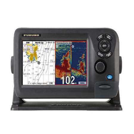
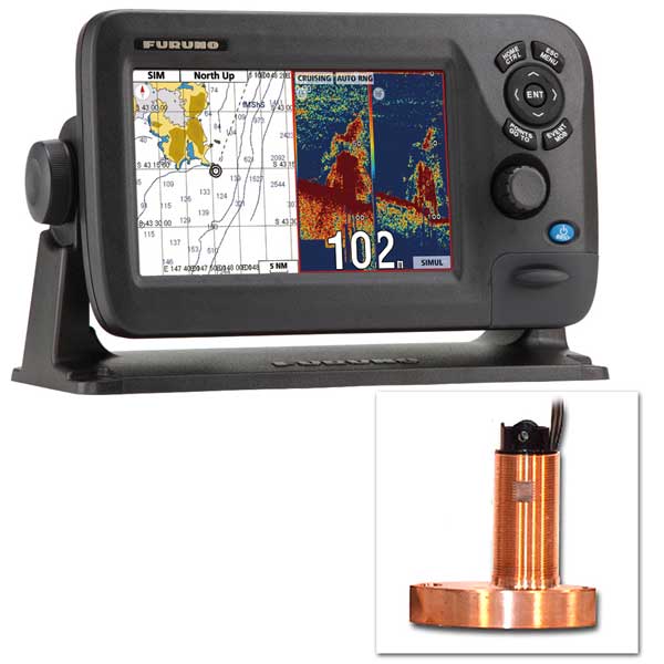
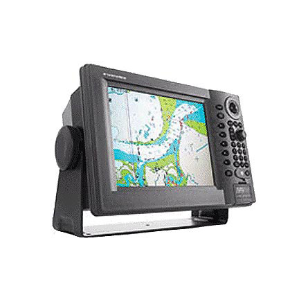
FURUNO GP1920C vx2 Chartplotter Navionics Gold
This item is brand new
$2,599.95
This item ships within 9 days


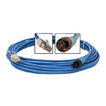
NavNet Ethernet Cable, 20m

10m Extension Cable f/ BBWGPS - Smart Sensor


Display Adapter Cable


RGB Output Cable Kit for 10 inch NavNet-vx2

Y Cable, NavNet to SmartSensor


NavNet PC Adapter Cable, 6 pin to RJ45


008-523-070 Video Interface Kit f/ 10.4 inch Display


General Purpose Camera, REVERS White

Dome Camera, Surface Mount,Rev. Image
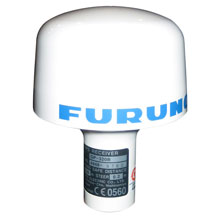
NavNet WAAS/GPS Antenna w/ NMEA0183

DFF1 Digital(FDF) BLACK BOX Echosounder Module f/NavNet

DFF3 Black Box Sounder Module
FA30 Black Box AIS Receiver

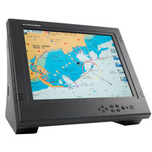
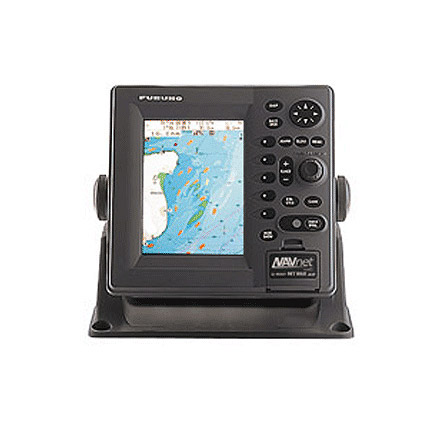
MU170C 17 inch Color Marine LCD Monitor


Suggested Maps and Software:
 | Navionics Marine Charts |
MAX Charts SD Card |
Contents of the package
BBWGPS Black Box WAAS/GPS Receiver
Features
Since its release back in 2001, FURUNOs NavNet series has been enjoying unrivalled popularity worldwide for its high reliability, performance and expandability. It has even been voted Best Integrated Navigation System by the National Marine Electronics Association for three consecutive years. Now, NavNet vx2 is ready to carry on the tradition.NavNet vx2 combines radar, GPS/WAAS chart plotter, fish finder, and network weather facsimile into an all-round navigation network. Its wide range of options fulfils virtually every desire you may have for navigation system.
Radar, GPS, Network fish finder, Network weather facsimile - a multistation integrated navigation network, NavNet vx2 lets you build your navigation system according to your needs. Utilizing state-of-the-art network technology, NavNet vx2 provides you with seamless data sharing and vast future expandability.
The heart of NavNet vx2 is its Ethernet-based network. Up to four displays, together with various navigational sensors, can be interconnected in addition to new MaxSea-NavNet navigational software, which adds even more features to your NavNet vx2 network. Stress-free navigation can be performed from any display unit connected to the onboard network, due to the high-speed transfer of data available.
- All display units are capable of controlling any component connected to the NavNet network
- Perfect for single or multi display installations
- Compatible with Navionics® Gold 2XG/3XG cartography, as well as XL9 (special order), Navionics® Fish N Chips and HotMaps bathymetric charts
- Utilizes SD cards for chart and memory
- Fast chart drawing speed
- Straightforward Plug n Play installation with wizard style set-up
- AR-coated, high-brightness display unit for improved sunlight viewability
Specifications
- Sunlight Viewable VGA (640 x 480) Display
- Front loading Mini-Chart Card port
- Compatible with Navionics® Gold 2XG/3XG cartography, as well as XL9 (special order), Navionics® Fish N Chips and HotMaps bathymetric charts
- Simplified installation with new Network Wizard set-up
- Cursor L/L Position Display (requires Heading data)
- On-Screen Display of Vessel Position, Heading, etc.
- Vessel Position Display in L/L or Loran-C TD's
- North-Up, Course-Up or Automatic Course-Up display modes
- Plotter, Nav Data, Steering Director or Highway display modes
- Up to 8,000 points for ship's track and marks, 999 waypoints, 35 quick points, 1 MOB, 200 planned routes (max. 35 waypoints/route) and 1 quick route
- Add Multiple Displays by Connecting to NavNet Interface
- Add Network Sounder by Connecting to NavNet Interface
- MOB Key Stroke stores Vessel position and time
- Plotter Range Scales from 0.14 to 6,144 nautical miles
- 16 different mark symbols may be used
- Waypoint entry by L/L position or TD position or target Range and Bearing
- Plotter position interval may be set by Time or Distance Traveled
- TLL position from specific Furuno Radars or Echo sounders
- Full Functioning Infared Remote Control
GPS Features
- Integral parallel tracking GPS/WAAS receiver
- Up to 900 knot tracking velocity
- 20 seconds for first position fix
- GPS position accuracy of approximately 10 meters, 95% of the time with S/A off
- WAAS position accuracy of approximately 3 meters, 95% of the time with S/A off
Shipping Information: TBA
Power Requirements:
- 12 or 24 VDC
Item number: GP1920C
UPC: 611679288912
Package weight: 31 lb
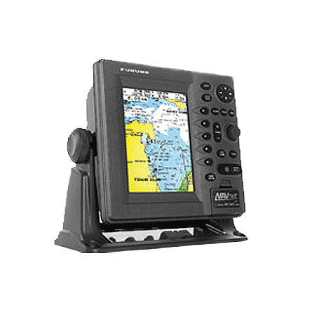
Other Products in the Series: