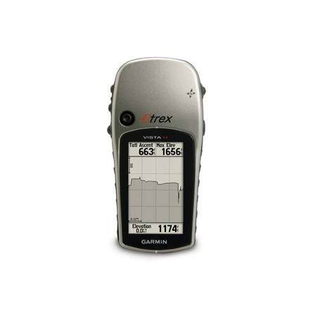
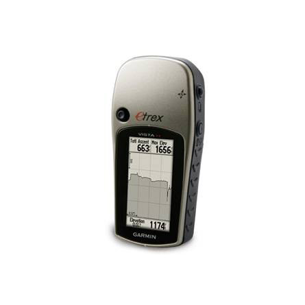
GARMIN ETrex Vista H


Cup Holder Universal Mount RAM-A-CAN II with 6 in Flex Arm


Neck Lanyard


Lanyard 17 inch

Replacement Mounting Clip

Lanyard Carabiner


Suggested Maps and Software:
 | MetroGuide |
 | Garmin Extras |
 | nuMaps Updates |
Contents of the package
Features
The eTrex Vista H uses a high-sensitivity WAAS-enabled receiver to accurately locateyour position and maintain your GPS location no matter what terrain surrounds you.
Use the eTrex Vista Hs barometric altimeter to pinpoint your exact altitude and track
changes in pressure to help you anticipate changing weather conditions. And the
built-in electronic compass provides your bearing even when youre standing still.
The eTrex Vista H gives you a basemap that covers lakes, rivers, cities, interstates,
national and state highways, railroads and coastlines. Its preloaded with marine
navigation aids, and storing detailed map data is no problem with its 24 megabytes of
memory and convenient USB port.

Specifications
Physical & Performance:
Unit dimensions, WxHxD: 2.0" x 4.4" x 1.2" (5.1 x 11.2 x 3.0 cm)
Display size, WxH: 1.1" x 2.1" (2.8 x 5.4 cm)
Display resolution, WxH: 160 x 288 pixels
Display type: 4 level gray LCD
Weight: 5.3 oz (150 g) with batteries
Battery: 2 AA batteries (not included)
Battery life: 18 hours
Waterproof: yes (IPX7)
Floats: no
High-sensitivity receiver: yes
Interface: USB
RoHS version available: yes
Maps & Memory:
Basemap: yes
Preloaded maps: no
Ability to add maps: yes
Built-in memory: 24 MB
Accepts data cards: no
Waypoints/favorites/locations: 1000
Routes: 20
Track log: 10,000 points, 10 saved tracks
Features:
Automatic routing (turn by turn routing on roads): no
Electronic compass: yes
Touchscreen: no
Barometric altimeter: yes
Geocaching-friendly: yes
Outdoor GPS games: yes
Hunt/fish calendar: yes
Sun and moon information: yes
Tide tables: no
Area calculation: yes
Custom POIs (ability to add additional points of interest): no
Unit-to-unit transfer (shares data wirelessly with similar units): no
Picture viewer: no
Item number: 010-00780-00
UPC: 753759084684
Package weight: 2 lb
Following reviews were written by actual customers.
Every GPS4US customer has a chance to live a feedback after receiving a product.
 by Cesar F Arriaga G, , 8/17/2012
Other Products in the Series: