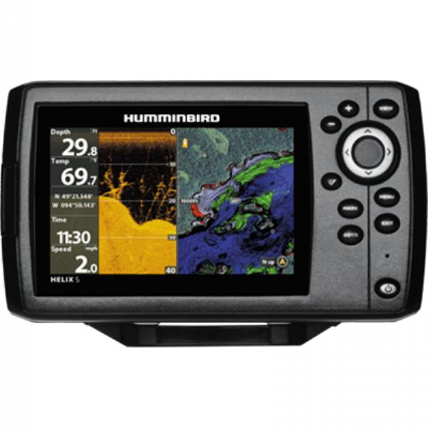
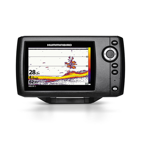
HUMMINBIRD Helix 5 DI Combo, Down Imaging

Item: 409620-1
This item is brand new
$327.99
This item ships within 2 days
|cw


This item is brand new
$327.99
This item ships within 2 days
|cw
Mounts


RAM Mounts


Sensors and Boards

730021-1
SW Speed Sensor, MFG 730021-1, Transom mount, with 20 ft cable
SW Speed Sensor, MFG 730021-1, Transom mount, with 20 ft cable
No Longer Available

730000-1
TS-W Temp/Speed Sensor
TS-W Temp/Speed Sensor
No Longer Available
Transducers Humminbird


710225-1
XIH 9 DI T Down Imaging In-Hull Transducer, MFG 710225-1
XIH 9 DI T Down Imaging In-Hull Transducer, MFG 710225-1
No Longer Available
Compatible maps
Also available


Suggested Maps and Software:
 | Navionics Marine Charts |
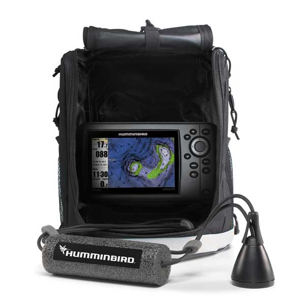
Contents of the package
Helix Display
Transom mount transducer
Mounting bracket
Installation hardware
Owner's manual
Transom mount transducer
Mounting bracket
Installation hardware
Owner's manual
Features
Humminbird Helix Fishfinder/Chartplotter5" Widescreen Chartplotter with Dual Beam and Down Imaging Sonar
The HELIX 5 DI GPS features a brilliant 800H x 480V, 5" 256 color display with backlight. Down Imaging and DualBeam
PLUS sonar with 4000 watts PTP power output, Precision Internal GPS Chartplotting with built-in UniMap cartography with a micro SD card slot for optional maps or saving waypoints along with a gimbal mounting system. Maximize your angling experience with the Humminbird HELIX 5 DI GPS fishfinder GPS system.
With Dual Beam sonar, two beams combine for great detail and a wide coverage area. Use the narrow beam for
high-accuracy returns and bottom. Use the wide beam when you want a larger search area.
Get a fish-eyes view of whats happening below your boat with Humminbird® Down Imaging®. These incredible images are created with high frequency sound waves emitted in ultra-thin slices. The sonar returns from these waves produce a
portrait. As you patrol the water, youll watch fish, reefs, timber, brush, bridge pilings, rocks, and any other
structure or cover pop with stunning detail.
Specifications
Display 5" widescreen color LCDResolution 800 x 480 pixels
Antenna Internal GPS
Power 500 Watts
Frequency 200/455 KHz Dual Beam, 455/800 KHz Down Imaging
Transducer Transom mount transducer included
Mapping Pre-loaded UniMap. Optional Humminbird Autochart/Lakemaster and Navionics Gold/HotMaps
Waypoints/Routes 2500 waypoints, 45 Routes, 50 Tracks, 20,000 trackpoints
Interface None
Other Functions Zoom, Bottom Lock, 3D charts
Dimensions 7.6"W x 4.3"H x 1.2"D
Warranty One year
Item number: 409620-1
UPC: 082324045226
Package weight: 3.7 lb
Other Products in the Series: