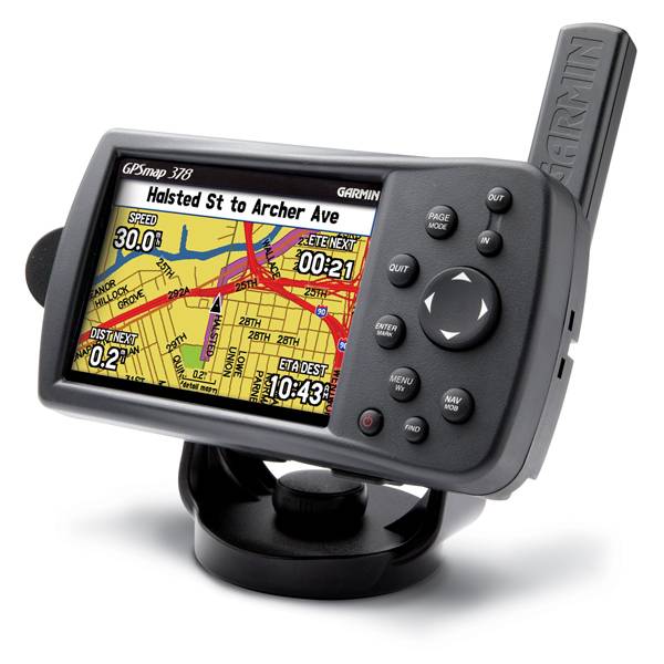
GARMIN Gpsmap 378


GA 26C low-profile remote automobile antenna

GA 30 GPS antenna (GA 29 replacement)

GXM 30 - XM Traffic Receiver

Lithium Ion battery pack (replacement)

GSD 21 Analog Sonar


16 MB data card, RoHS

32 MB data card, RoHS

64 MB data card, RoHS

128 MB data card, RoHS

256 MB data card, RoHS

512 MB data card, RoHS


Suggested Maps and Software:
 | BlueChart g2 on Datacard |
 | BlueChart on Garmin Datacard |
 | Garmin Extras |
 | nuMaps Updates |
Contents of the package
Features
On the WaterGPSMAP 378 comes preloaded with detailed U.S. Inland Lakes data, which boasts 10-meter resolution for more than 3200 lakes, many with depth contours. In addition, these built-in freshwater maps provide shoreline detail, river and creek channels, islands, boat ramps, campgrounds and more for tens of thousands of lakes across the continental U.S. giving you the freedom to boat and fish anywhere in the states. The maps also show streams and rivers, tide stations and predictions, a wrecks and obstructions database and U.S. Coast Guard aids to navigation.
On the Land
378 is ready to navigate you on the roads, with turn by turn directions and voice prompts that take you straight to your destination. The 378 is preloaded with detailed City Navigator maps for all of North America and contains over 6 million points of interest, including hotels, restaurants, gas stations, marinas, attractions and more.
Add Optional Weather, Audio and Sonar
See real-time weather on the 378's high-resolution TFT with the purchase of a GXM 30 XM antenna and a subscription to XM Satellite Weather and Radio services. View vital weather data, including NEXRAD radar, storm cells, wind speeds, surface temperatures, forecasts and more than a dozen other weather attributes, so you can enjoy the water without worrying about the weather. You can also subscribe to XM Satellite Radio to receive over 100 channels of commercial-free music, sports, news and talk radio.
For serious fishing, pair the 378 with the GSD 21 remote sounder, which offers 4,000 watts of power peak-to-peak (500 watts RMS) with a dual-frequency transducer (purchased separately).
Add More Marine Maps
The 378 accepts optional MapSource data cards, so you can add new maps without connecting to your computer. Optional BlueChart g2 data cards let you view real, detailed aerial photos of harbors, marinas and other important marine landmarks and places, right on your chartplotter.
The GPSMAP® 378 comes preloaded with U.S. Inland Lakes and City Navigator NT data. These two detailed sets of maps are combined together in the 378 to form one large, comprehensive set of data that covers both land and sea.
Because of the unique way the map data has been combined and loaded, the GPSMAP 378 is not compatible with Garmin's City Navigator NT North America DVD, which is sold separately. For example, if you use this City Navigator NT DVD to plan routes on your computer and transfer them to the 378, the unit will recalculate each transferred route. 


Specifications
Physical & Performance:
Unit dimensions, WxHxD: 5.7" x 3.2" x 1.9" (14.5 x 8.1 x 4.8 cm)
Display size, WxH: 3.0" x 2.2" (7.6 x 5.6 cm)
Display resolution, WxH: 480 x 320 pixels
Display type: 256-color TFT
Weight: 13.6 oz (385 g)
Battery: rechargeable internal lithium-ion
Battery life: up to 9 hours
Waterproof: yes (IPX7)
Antenna: detachable
NMEA input/output: NMEA 0183
RoHS version available: no
Maps & Memory:
Basemap: yes
Preloaded maps: yes (inland maps)
Ability to add maps: yes
Built-in memory: none (cannot load maps to internal memory)
Accepts data cards: Garmin data cards
Waypoints/favorites/locations: 3,000
Routes: 50
Track log: 10,000 points; 20 saved tracks
Features:
Garmin radar compatible: no
Garmin sonar compatible: yes
CANet® compatible: no
Garmin Marine Network compatible: no
Touchscreen: no
Supports AIS (tracks target ships' position): no
Supports DSC (displays position data from DSC capable VHF radio): yes
Audible alarms: yes
Tide tables: yes
Hunt/fish calendar: yes
Sun and moon information: yes
3-D map view: no
Auto Guidance: no
Automatic routing (turn by turn routing on roads): yes
XM WX Weather & Radio for U.S. compatible: yes
Voice prompts (e.g. "Turn right in 500 ft."): yes (12v/speaker)
Speaks street names (e.g. "Turn right ON ELM STREET in 500 ft."): no
Remote control: no
Headphone jack/audio line-out: yes
Audio/video input/output: no
Portable: yes
Automotive/motorcycle-friendly: yes
Item number: 010-00542-00
UPC: -
Package weight: 5 lb
Other Products in the Series:
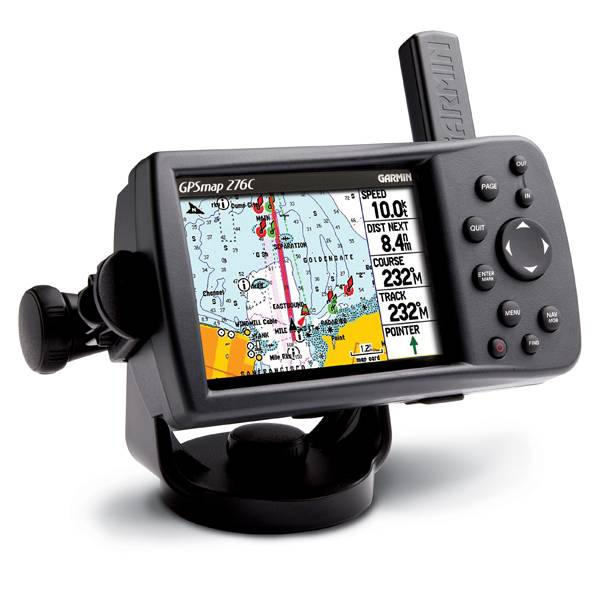 | GARMIN Gpsmap 276C | Add to comparison |
 | GARMIN GPSMAP 276C Plus NOH | |
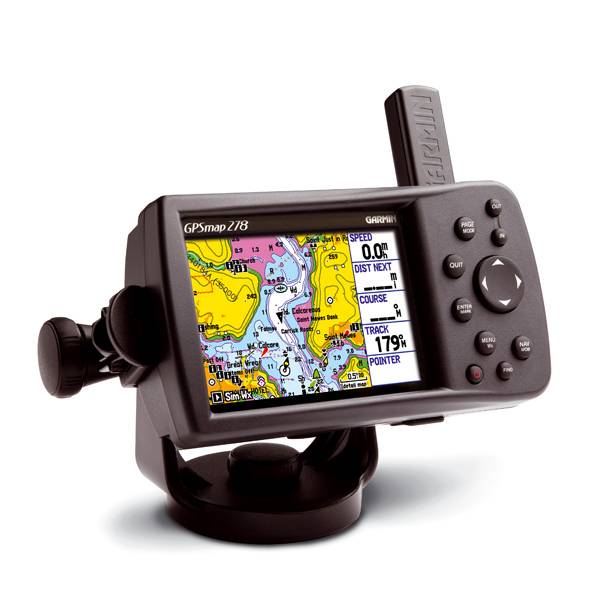 | GARMIN Gpsmap 278 | Add to comparison |
 | GARMIN Gpsmap 296 | |
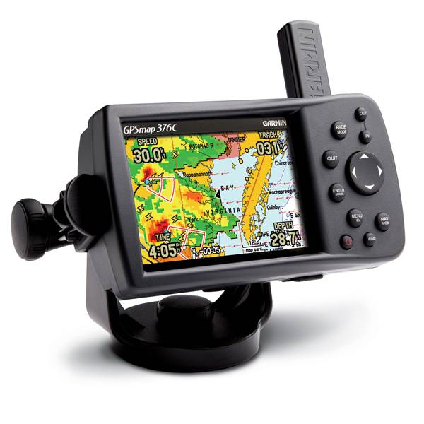 | GARMIN Gpsmap 376C | Add to comparison |
 | GARMIN Gpsmap 376C NOH | |
| GARMIN Gpsmap 378 | Add to comparison |
 | GARMIN Gpsmap 396 | |
 | GARMIN Gpsmap 478 | Add to comparison |
 | GARMIN Gpsmap 478 NOH | |
 | GARMIN Gpsmap 495 | |
 | GARMIN Gpsmap 496 | |
 | GARMIN GPSMAP 498 with transducer External Ant. | Add to comparison |