NAVIONICS Nova Scotia to St lawrence River Platinum Marine Charts on SD Card
Item: MSD/902P-2
This item is brand new
$347.95
This item ships within 1 day
|cw|sw|wi


This item is brand new
$347.95
This item ships within 1 day
|cw|sw|wi
Features
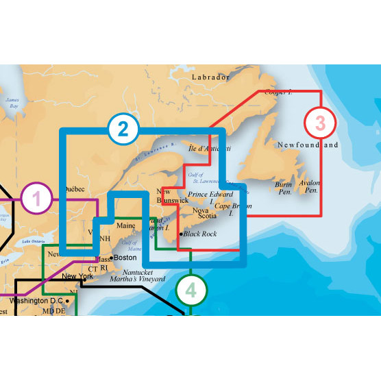
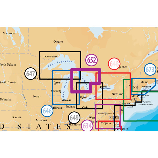
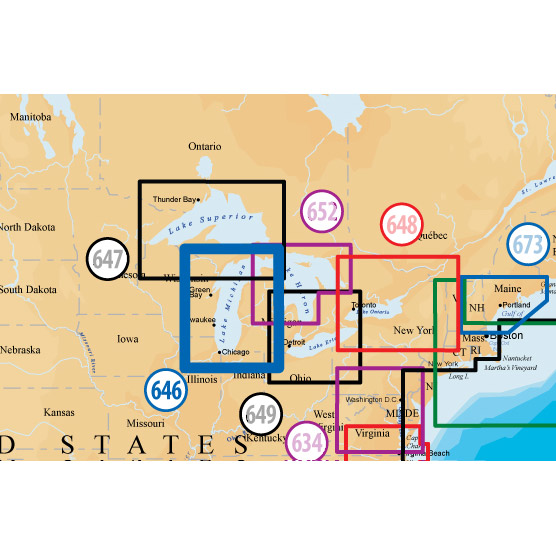
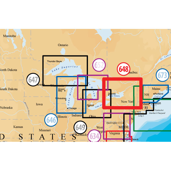
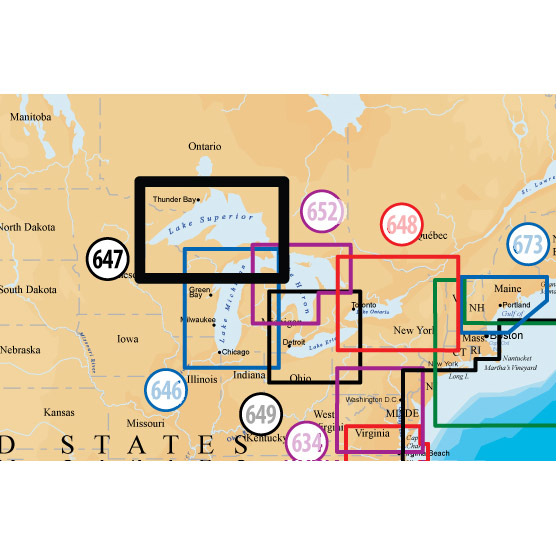
Coverage
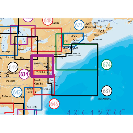
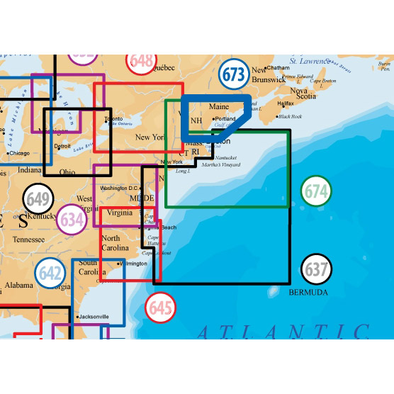
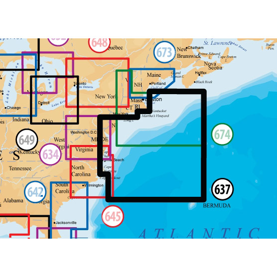
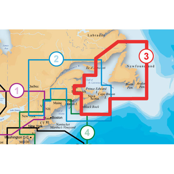
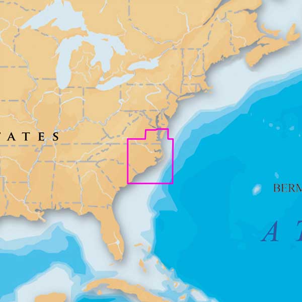
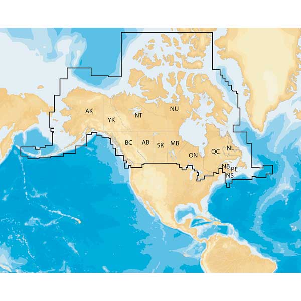
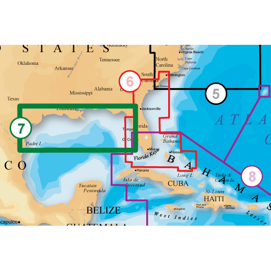
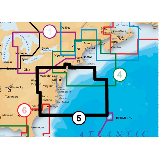
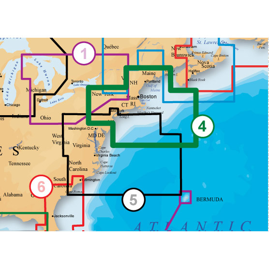
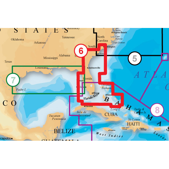
ST LAWRENCE RIVER, GULF OF ST LAWRENCE, NOVA SCOTIA, LAKE CHAMPLAIN From Cornwall and Montebello to Bay of Fundy, including Sable Island, Iles De La Madeleine, Prince Edward Island, Anticosti Island and Lake George.(*The best possible sources were used at the time of Chart release.)
About Platinum+ Marine Maps
Multi-dimensional marine charts that offer navigators and fishermen a selection of bonus information beyond the best available navigation charts such as panoramic pictures, 3D/2D views with satellite imagery, coast pilot guides, POIs & built-in offshore fishing detail.
Specifications
Item number: MSD/902P-2UPC: 821245902313
Package weight: 0.1 lb
Other Products in the Series:

List of Compatible Units:
Note: Displayed are products sold in gps4us store.
There might be more GPS units compatible with chosen accessory.