NAVIONICS South America East Platinum Marine Charts on SD Card
This item is brand new
$262.95
This item ships within 1 day
|cw|sw|wi


Features
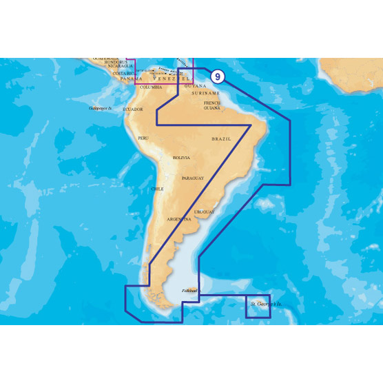
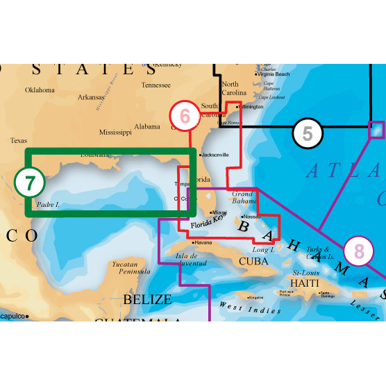
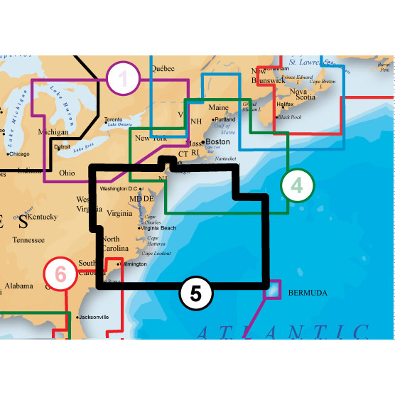
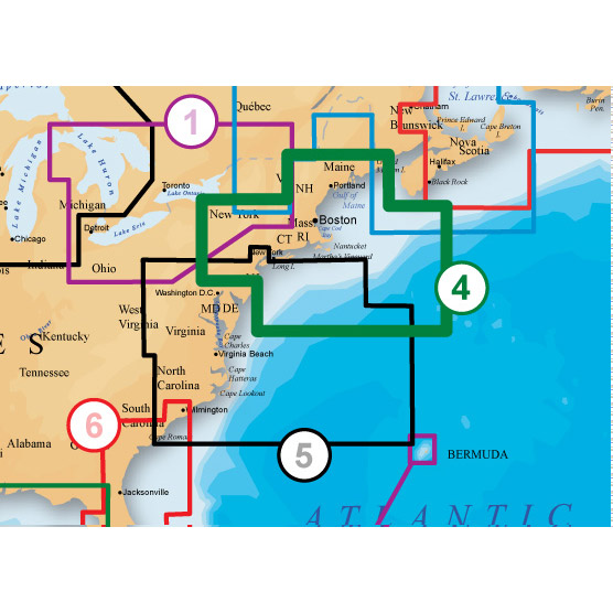
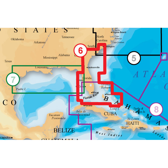
Coverage
SOUTH AMERICA NORTHEAST, CENTRAL BRAZIL, SOUTH BRAZIL, ARGENTINA From Trinidad and Tobago to Cape Horn to Isla Hanover, including Ilhas Martin Vaz, Ilha da Trindade, Atol das Rocas, Arquipelago de Fernando de Noronha, Golfo San Matias, Golfo San Jorge, Bahia Grande, Strait of Magellan, Falkland islands, South Georgia.
(*Limited Platinum features, 3D View and Top-down Photo/Chart Overlay only.)
909P-2 is NOT COMPATIBLE WITH LOWRANCE MODEL CHARTPLOTTERS.
About Platinum+ Marine Maps
Multi-dimensional marine charts that offer navigators and fishermen a selection of bonus information beyond the best available navigation charts such as panoramic pictures, 3D/2D views with satellite imagery, coast pilot guides, POIs & built-in offshore fishing detail.
Specifications
Item number: MSD/909P-2UPC: 821245909312
Package weight: 0.2 lb
Other Products in the Series:

List of Compatible Units:
Note: Displayed are products sold in gps4us store.
There might be more GPS units compatible with chosen accessory.