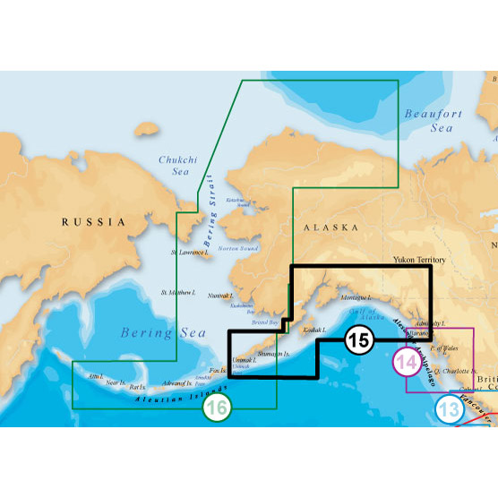
NAVIONICS South Alaska Platinum Marine Charts on SD Card
Item: MSD/915P-2
This item is brand new
$261.95
On Sale !!!
Backorder, ships in 3 - 4 weeks
|cw|sw|wi


This item is brand new
$261.95
On Sale !!!
Backorder, ships in 3 - 4 weeks
|cw|sw|wi
Features
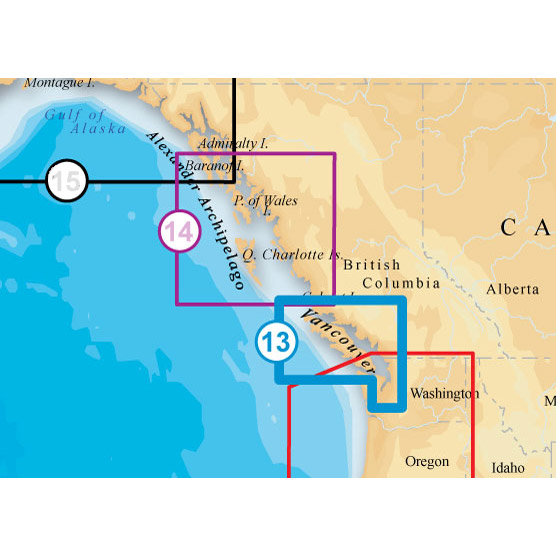
Coverage
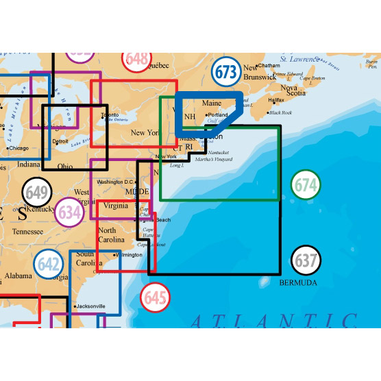
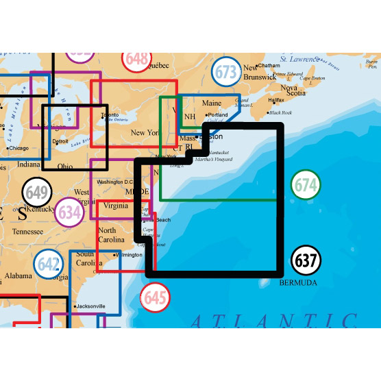
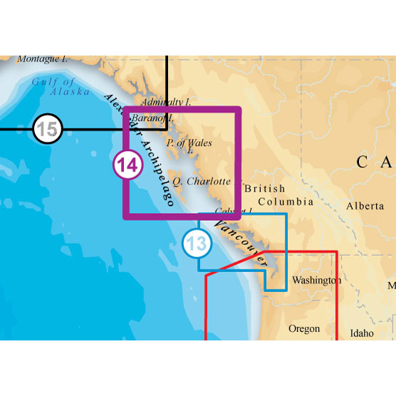
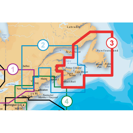
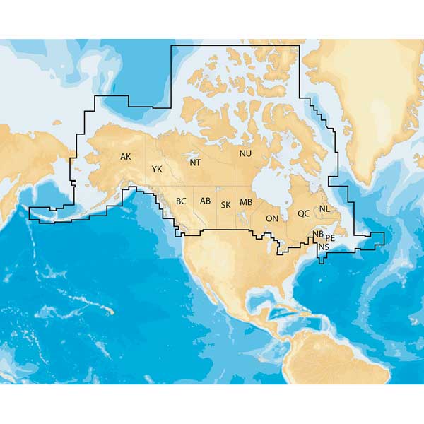
SOUTH CENTRAL ALASKA, ALASKA PENINSULA, WRANGELL NARROWS, SKAGWAY From Frederick Sound to Unimak Island, including Cook Inlet and Prince William Sound.
About Platinum+ Marine Maps
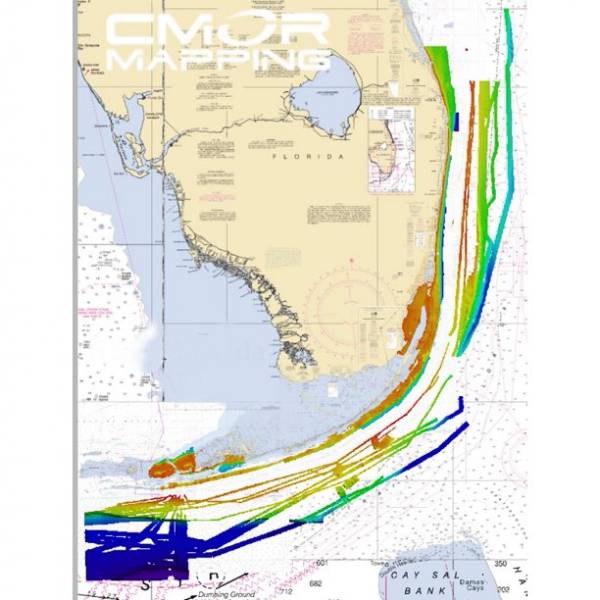
Multi-dimensional marine charts that offer navigators and fishermen a selection of bonus information beyond the best available navigation charts such as panoramic pictures, 3D/2D views with satellite imagery, coast pilot guides, POIs & built-in offshore fishing detail.
Specifications
Item number: MSD/915P-2UPC: 821245915313
Package weight: 0.25 lb
Other Products in the Series:

List of Compatible Units:
Note: Displayed are products sold in gps4us store.
There might be more GPS units compatible with chosen accessory.