NAVIONICS US NE and Canyons Platinum Marine Charts on SD Card
Item: MSD/904P+
This item is brand new
$345.95
On Sale !!!
Backorder, ships in 3 - 4 weeks
|cw|sw|wi


This item is brand new
$345.95
On Sale !!!
Backorder, ships in 3 - 4 weeks
|cw|sw|wi
Features
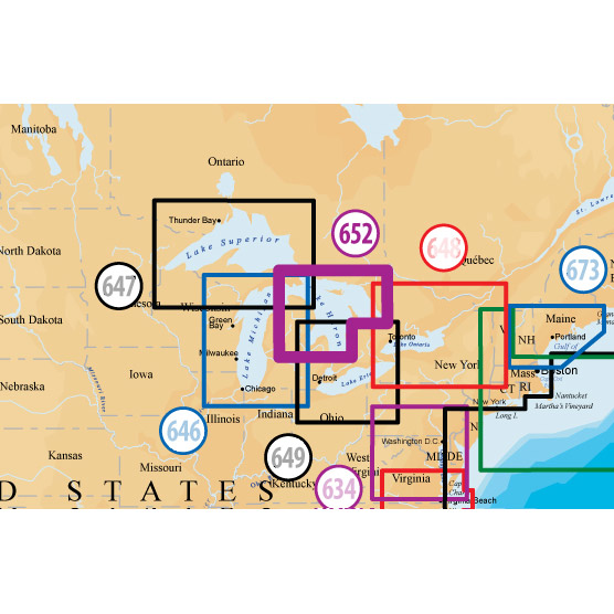
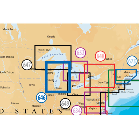
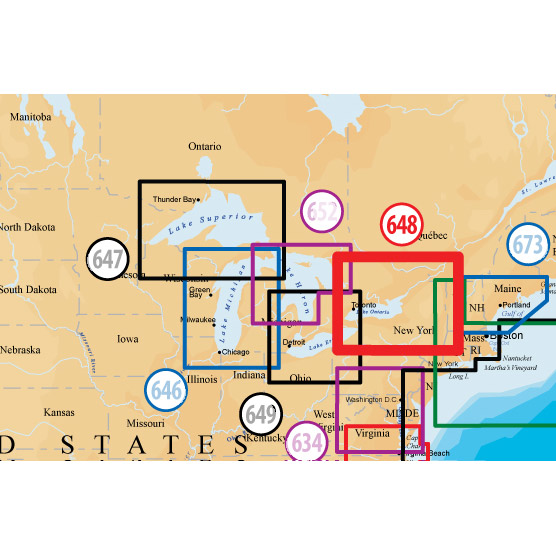
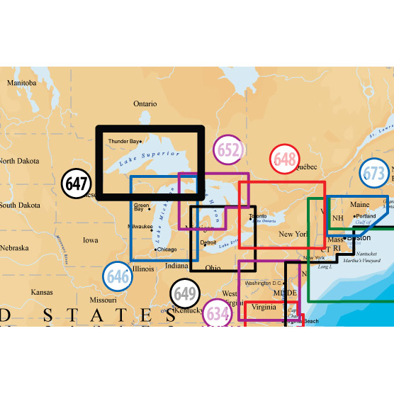
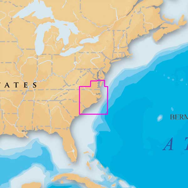
Coverage
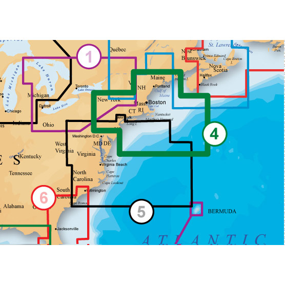
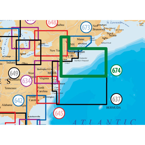
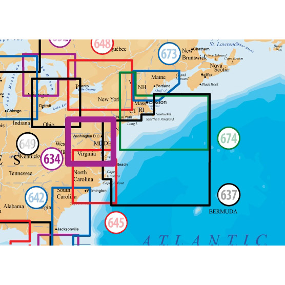
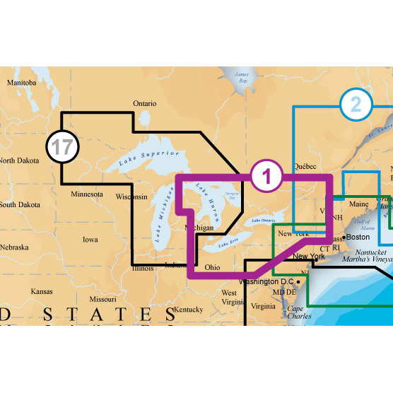
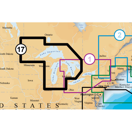
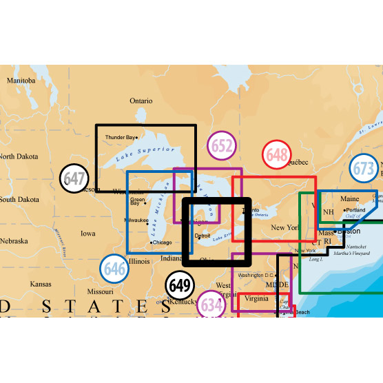
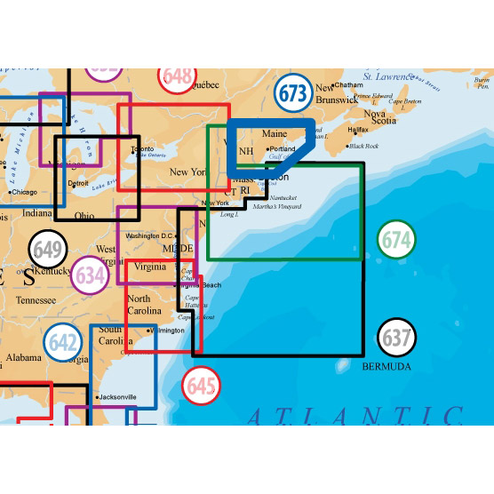
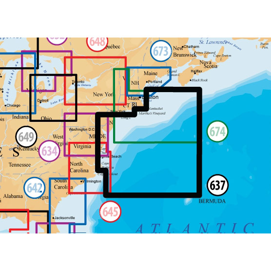
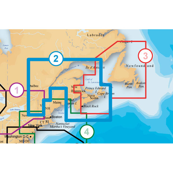
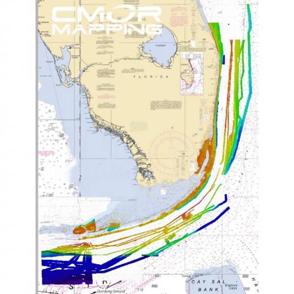
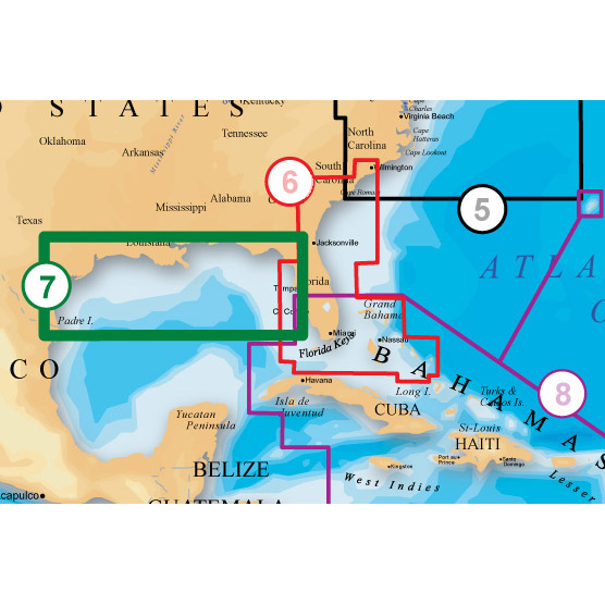
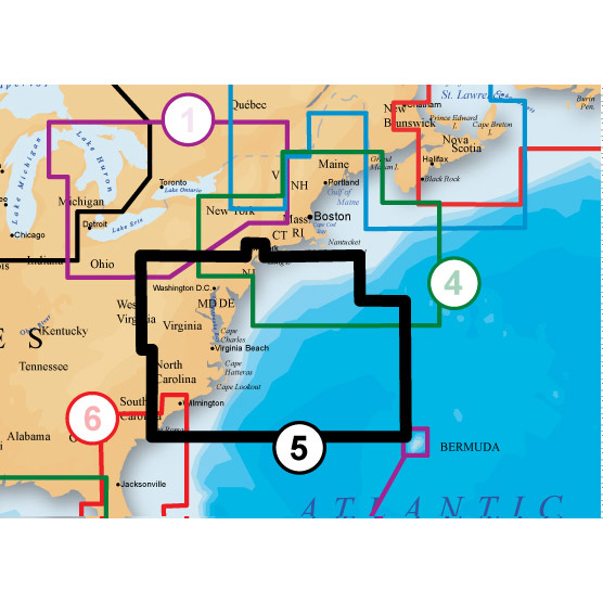
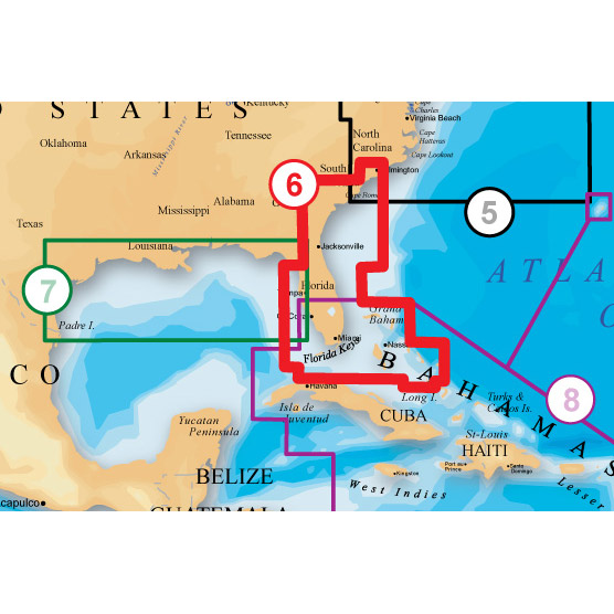
MAINE, MASSACHUSETTS, NEW YORK, HUDSON RIVER, NORTH ATLANTIC CANYONS From Passamaquoddy Bay and Grand Manan Island to Shark River Inlet, including Hudson River to New York State Barge Canal to Lake Ontario, Oneida Lake, The Finger Lakes, Lake Champlain and bathymetric details of all North Atlantic Canyons from Delaware Bay offshore to Georges Bank and East to 64° West
About Platinum+ Marine Maps
Multi-dimensional marine charts that offer navigators and fishermen a selection of bonus information beyond the best available navigation charts such as panoramic pictures, 3D/2D views with satellite imagery, coast pilot guides, POIs & built-in offshore fishing detail.
Specifications
Item number: MSD/904P+UPC: 821245904591
Package weight: 0.4 lb
Other Products in the Series:

List of Compatible Units:
Note: Displayed are products sold in gps4us store.
There might be more GPS units compatible with chosen accessory.