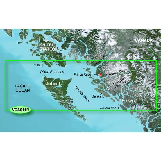
GARMIN CA, Inside Outside Passage (VCA018R) BlueChart g3 Vision HD map


Item: 010-C1105-00
This item is brand new
$292.95
Backorder, ships in 3 - 4 weeks
cw|cw|sw


This item is brand new
$292.95
Backorder, ships in 3 - 4 weeks
cw|cw|sw
Contents of the package
Features
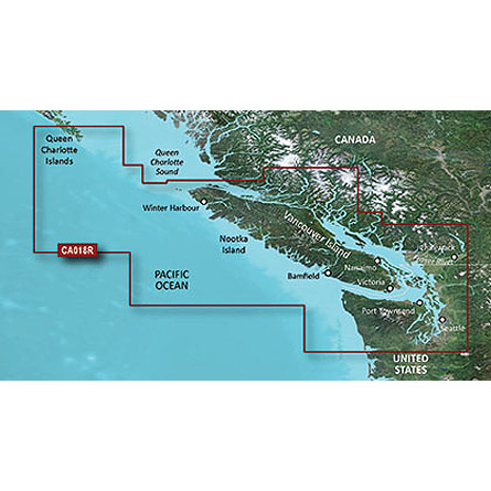
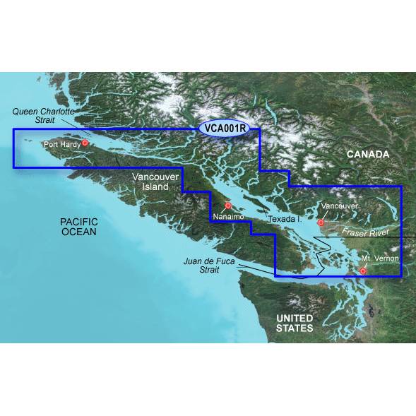
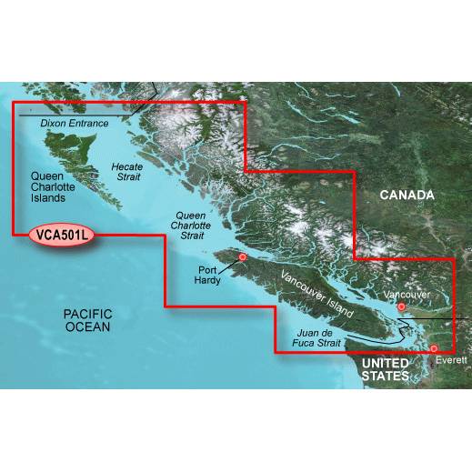
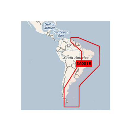
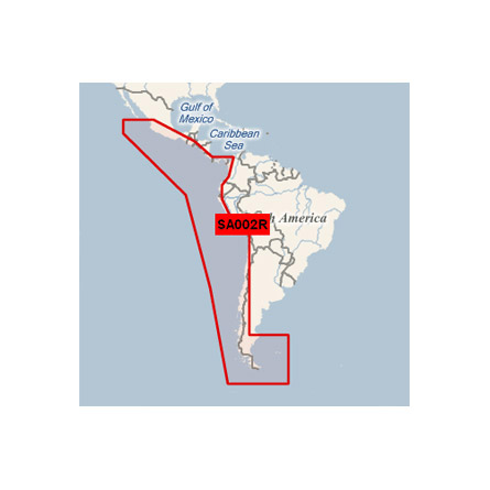
Replacing VCA001R, VCA002RCoverage
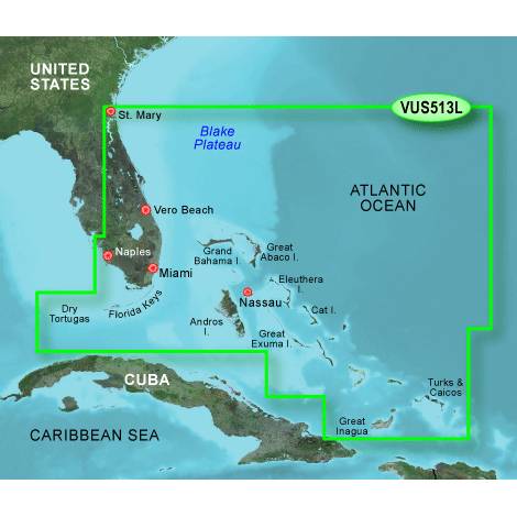
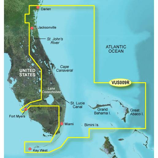
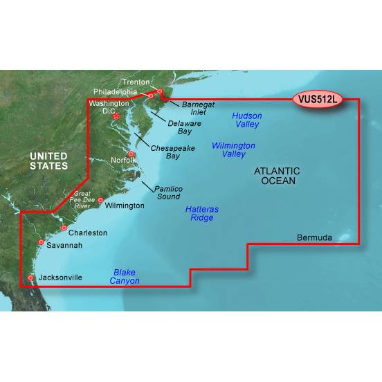
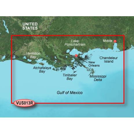
Detailed coverage of both the Inside and Outside Passages around Vancouver Island, specifically: the Strait of Juan de Fuca, the Johnstone Strait, the Strait of Georgia, the Queen Charlotte Strait, Quatsino Sound, the San Juan Islands, the Fraser River to Chilliwack, Harrison Lake, Pitt Lake, Jervis Inlet, Bute Inlet, Knight Inlet and the extreme southern portions of Hecate Island. Ports covered include Vancouver, Victoria, Sidney, Nanaimo, and Port Hardy in British Columbia, CA with Port Angeles, Oak Harbor, Anacortes and Bellingham in WA, U.S.
About BlueChart g2 Vision Maps
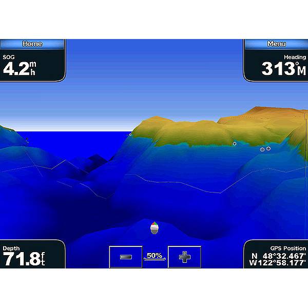
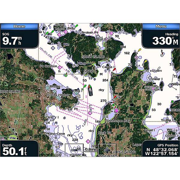
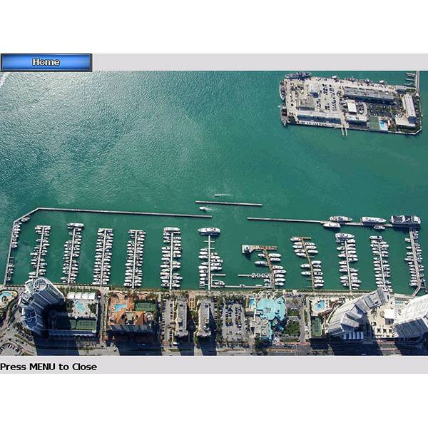
Chart depictions are enhanced with high-resolution satellite imagery for enhanced situational awareness so you can navigate with a clear moving-map representation of your boats position. It is the most realistic mapping display Garmin has ever offered in a chartplotter. With BlueChart g2 Vision data, you can select true 3D Mariners Eye or Fish Eye navigation perspective for dynamic views both above and below the waterline. Theres also Auto Guidance technology to suggest the best routes to follow. And aerial photos of ports, harbors, marinas, waterways and coastal roads help you see "the big picture" when youre on the water.
- Realistic navigation features showing everything from shaded depth contours and coastlines to spot soundings, navaids, port plans, wrecks, obstructions, intertidal zones, restricted areas, IALA symbols and more
- Fishing charts to focus on bathymetric contours with less clutter on the display
- Choice of 3D Mariners Eye or Fish Eye navigation perspective to make chart reading and orientation easier
Specifications
Item number: 010-C1105-00
UPC: 753759113919
Package weight: 0.3 lb
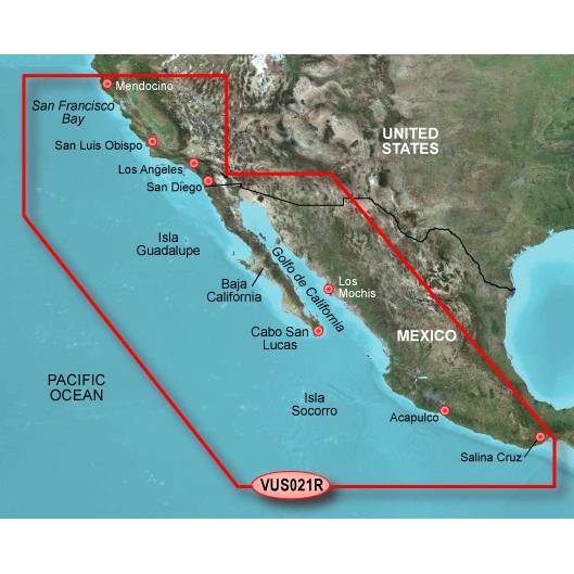
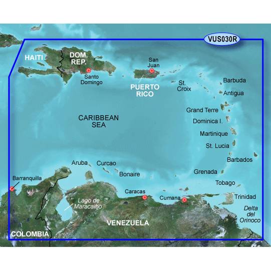
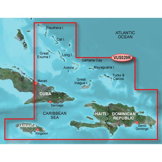
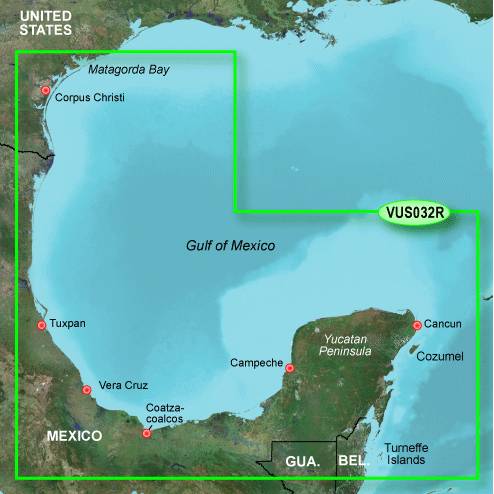
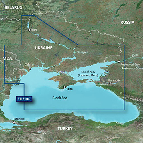
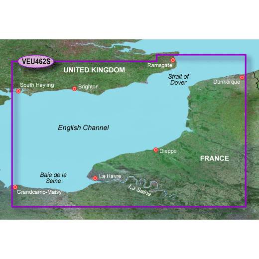
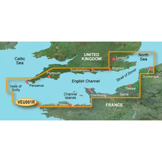
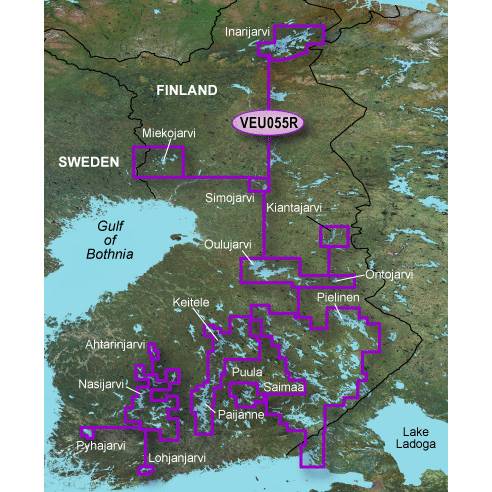
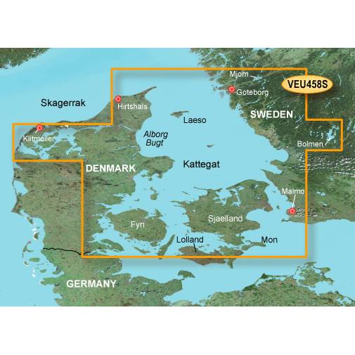
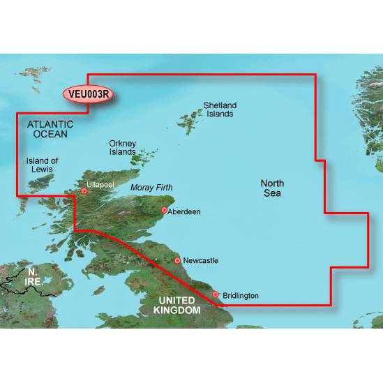
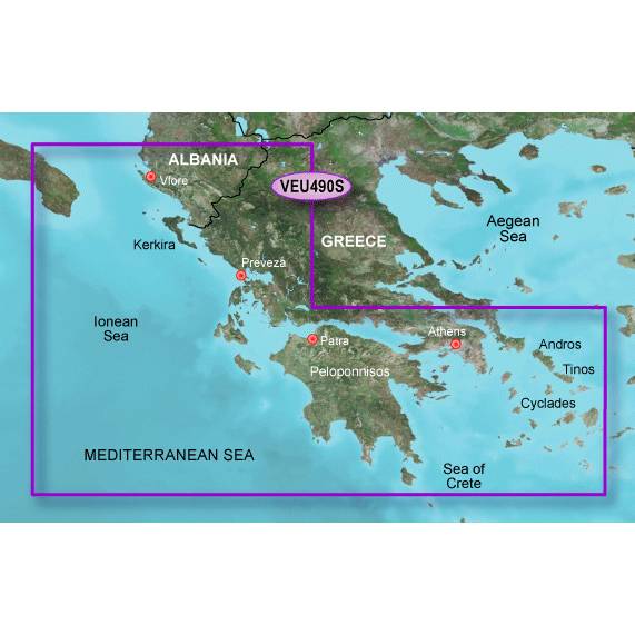
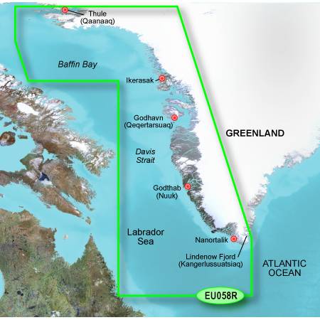
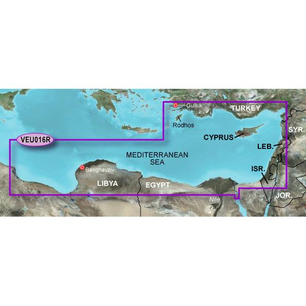
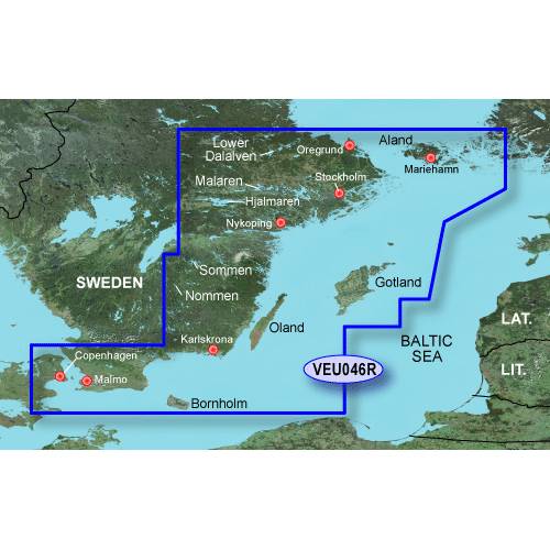
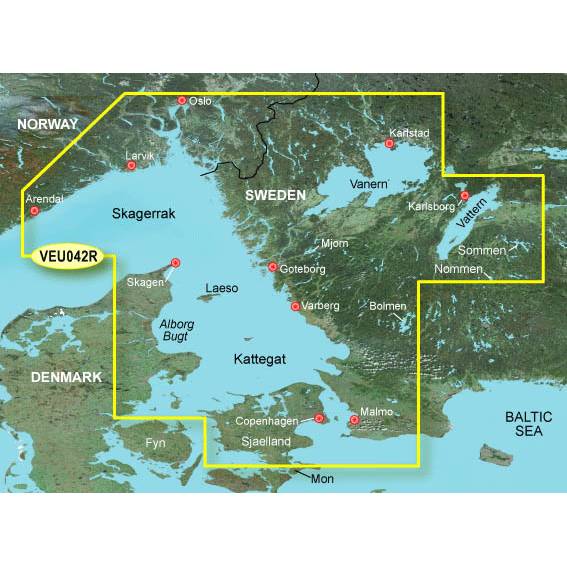
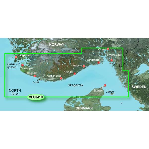
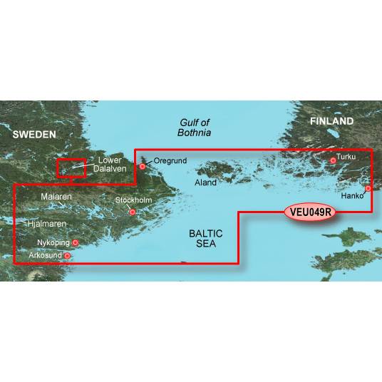
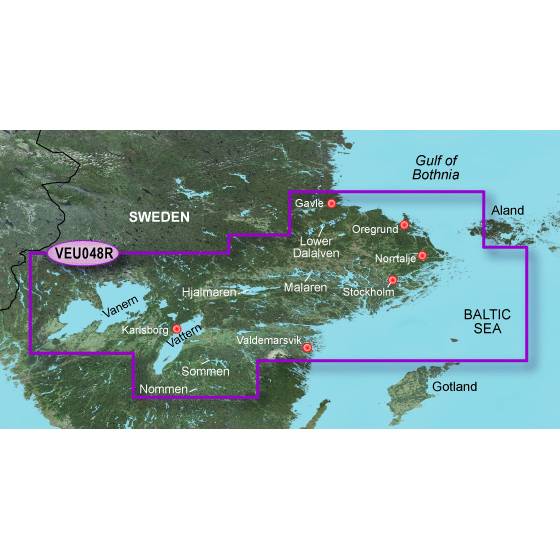
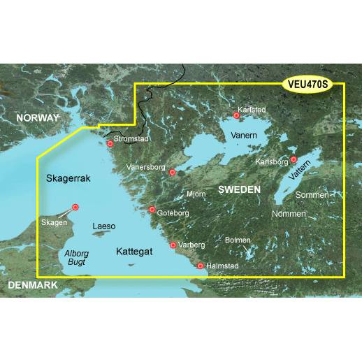
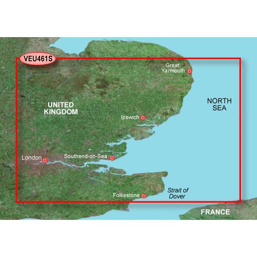
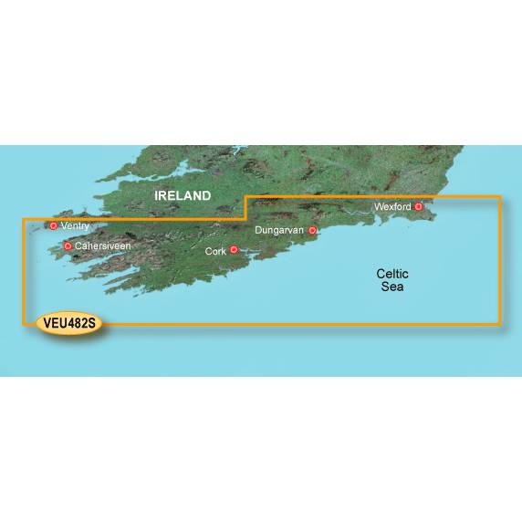
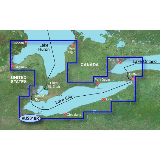
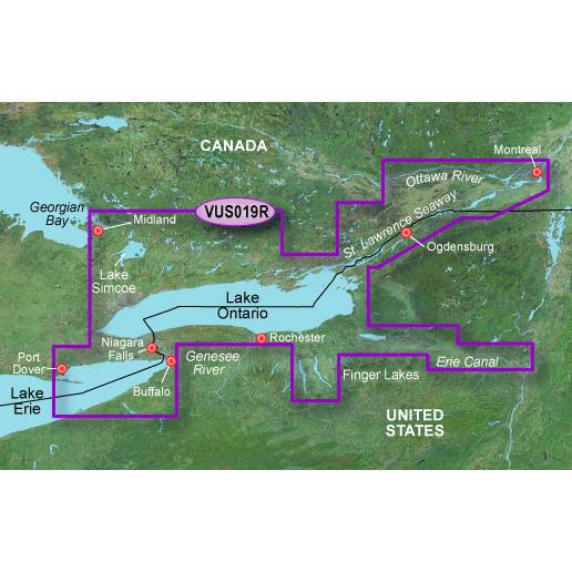
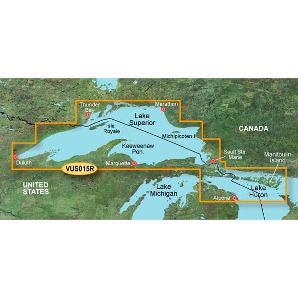
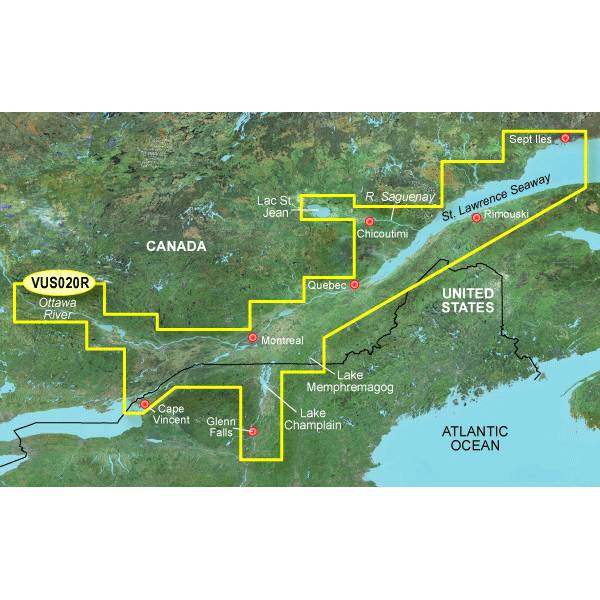
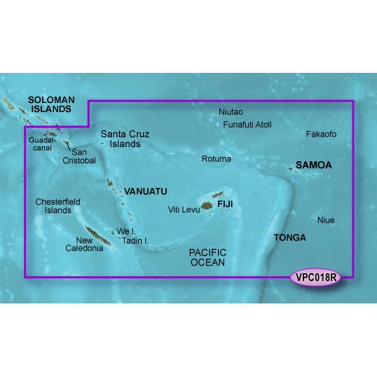
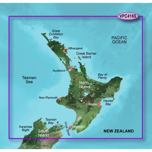
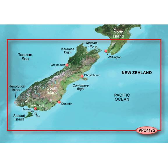
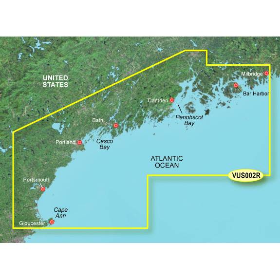
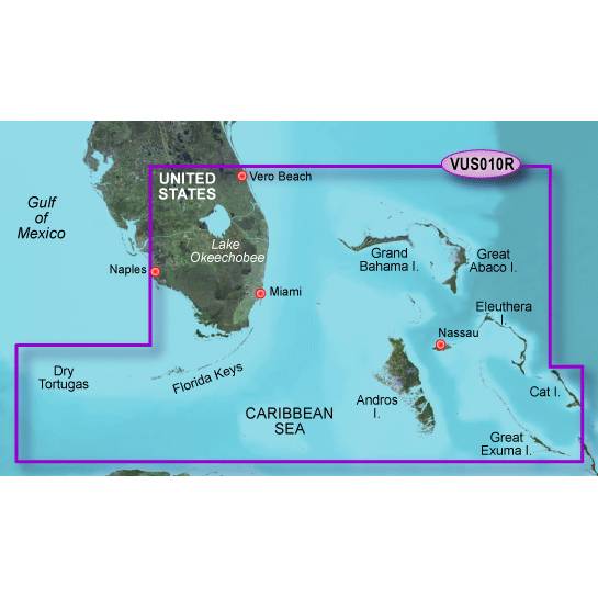
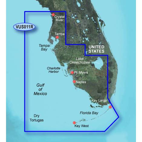
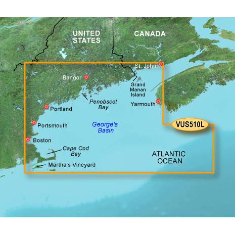
Other Products in the Series:


List of Compatible Units:
Note: Displayed are products sold in gps4us store.
There might be more GPS units compatible with chosen accessory.